Share
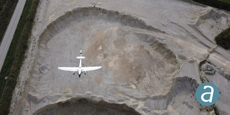
SimActive and Quantum-Systems GmbH, providers of photogrammetry software and drone platforms respectively, announced the successful integration of their products. Data captured with the Quantum-SystemsTrinity F90+ mapping drone can be processed in SimActive’s Correlator3D software to generate DSMs, DTMs, point clouds and orthomosaics. Data from high-precision sensors such as PPK receivers, survey-grade color and multispectral cameras and LiDAR are all fully supported. www.simactive.com


