Share
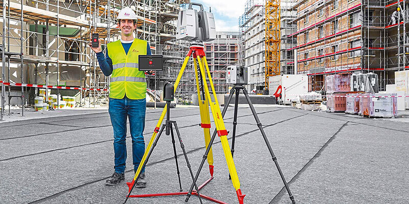
Leica Geosystems extends the Leica Cyclone FIELD 360 mobile-device app to all Leica Geosystems 3D terrestrial laser scanners for in-field data acquisition and visualisation, enhancing the existing and well-established 3D reality capture workflow. With the simple push of a button from the mobile-device app, all Leica Geosystems’ laser scanner users can capture high-quality data and verify registration directly in the field with a few simple clicks, saving valuable time in the office. The Leica ScanStation P-Series, the versatile, high-speed and survey-grade 3D laser scanners, now benefit from the existing workflow and proven productivity gains of the Cyclone FIELD 360 mobile-device app. www.hexagon.com


