Share
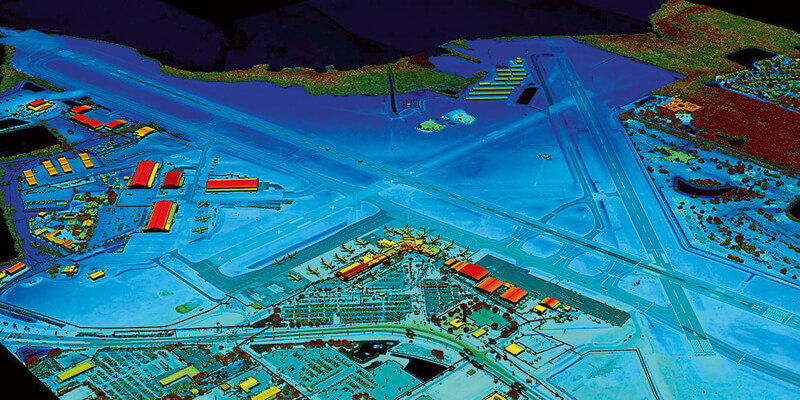
VeriDaaS, a geospatial solutions company, is planning a high-density LiDAR elevation data collection at a minimum of 30 points per meter (ppm) over the entire State of California in the Spring 2021 as part of the VeriDaaS National Mapping Initiative (VeriMAP). Higher density data above 30 ppm is also an option if stakeholder commitments are secured before the planned start of the project. The geospatial data will be utilized across a wide range of private-sector vertical markets including electric utilities, transportation, telecom, insurance, and architecture/engineering/construction (AEC), as well as Federal, State and Local Government groups. The California VeriMAP program is open to new participants. Private- and public-sector organizations that wish to participate as stakeholders purchasing high-density LiDAR elevation data sets at reduced cost-sharing rates should contact VeriDaaS now. www.veridaas.com


