Building cloud-native geospatial standards
20th July 2022
Building cloud-native geospatial standards
20th July 2022
Building cloud-native geospatial standards
19th July 2022
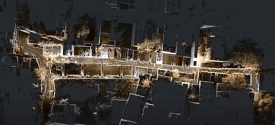
Hexagon disrupts reality capture once again with its next-generation, ultra-fast Leica BLK360 laser scanner
19th July 2022
Trimble introduces high-accuracy OEM GNSS receiver module for industrial autonomy applications
19th July 2022
Teledyne FLIR releases Boson+ longwave infrared thermal camera module with sensitivity of 20mK or less
19th July 2022
SimActive releases version 9.2 with Phase One IIQ integration
19th July 2022
Juniper Systems Limited launches Android 11 update for the Mesa 3 Rugged Tablet
19th July 2022
xyzt.ai Wins Maritime Innovation Challenge by INEOS and Port of Antwerp
19th July 2022
Tim Foxall becomes fourth Managing Director in Glanville’s 50-year history
19th July 2022
OGC CEO Dr. Nadine Alameh appointed to US National Geospatial Advisory Committee
19th July 2022
Fotech appoints Joyce Lamy in new strategic partnerships role
19th July 2022
New International Sales Manager at BARTHAUER
19th July 2022
Winners of Geovation’s Diffuse Coastal Pollution Challenge scoop £5,000 each
19th July 2022
TomTom's maps gain greater visual context from expanded agreement with Maxar19th July 2022
OSG and OSGeo, the Open Source Geospatial Foundation, sign new memorandum of understanding19th July 2022
Satellogic announces multiple launch agreement with SpaceX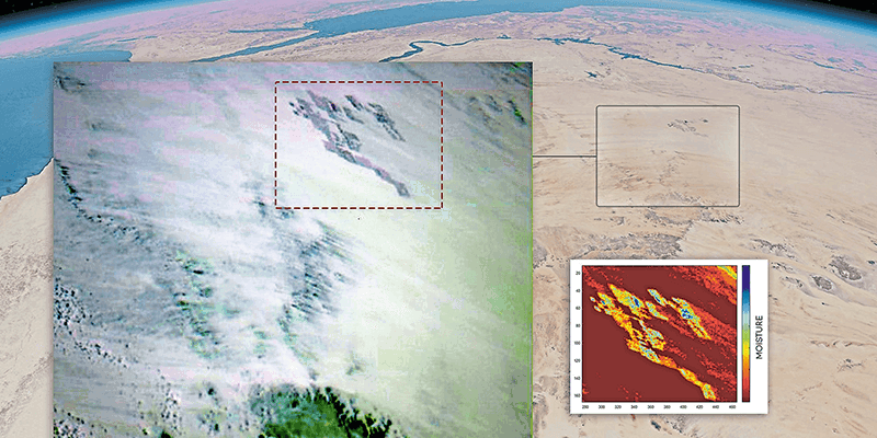
19th July 2022
Fighting climate change with the world's most extensive hyperspectral satellite constellation
19th July 2022
Another step for EU's positioning system: Nikolina joins the Galileo family19th July 2022
Precisely extends data integrity leadership with new geo addressing innovations19th July 2022
Aeris provides flexible SIM management to accelerate VisionTrack's global go-to-market strategy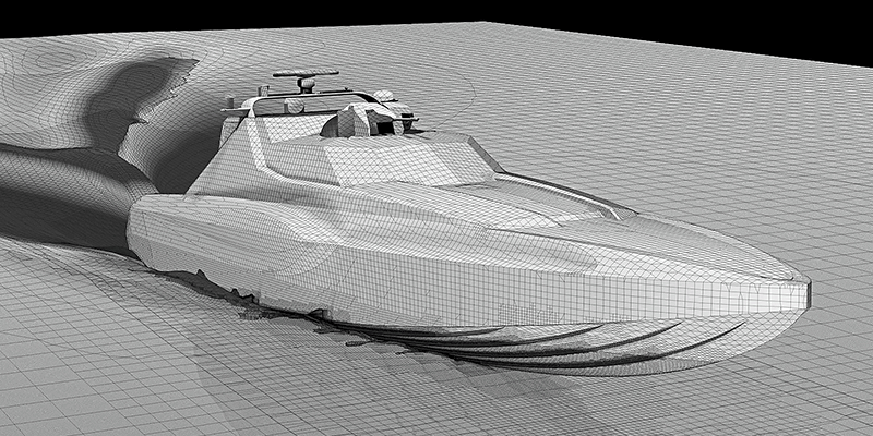
19th July 2022
Kraken secures further investment for maritime precision engagement platform
19th July 2022
Clirio launches world's first end-to-end holographic scan and review apps
19th July 2022
UK Space Command contract with SSTL for Carbonite+ satellite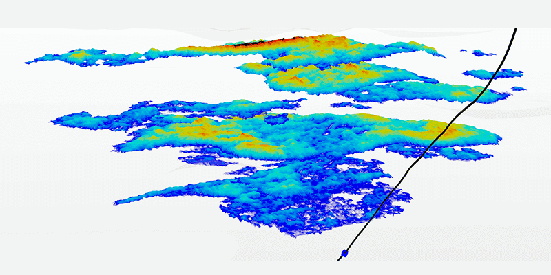
19th July 2022
CGG joins Norway's Centre for Geophysical Forecasting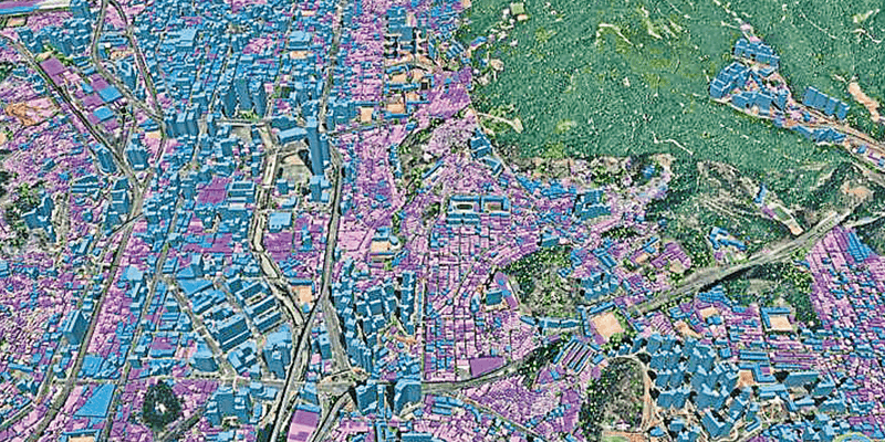
19th July 2022
Ecopia AI and Airbus partnership to enable global 3D vector mapping
19th July 2022
Topcon represents construction industry in "CampusOS" 5G research project
19th July 2022
Kleos successfully launches Patrol Mission satellites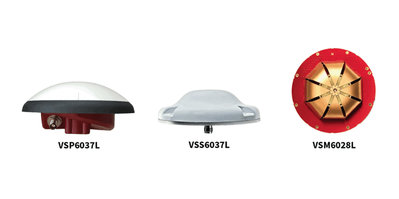
19th July 2022
Tallysman adds eXtended Filtering to the full line of VeroStar precision GNSS antennas19th July 2022
Edgybees satellite software brings unprecedented accuracy to satellite imagery
19th July 2022
UP42 partners with Nearmap to offer high-resolution aerial imagery of U.S., Canada, Australia, and New Zealand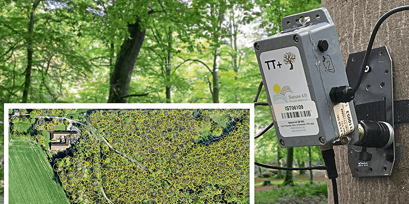
19th July 2022
Tree pest and disease monitoring system uses Bluesky's UK Tree Map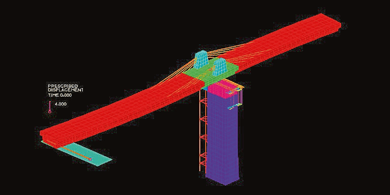
19th July 2022
Bentley Systems announces acquisition of ADINA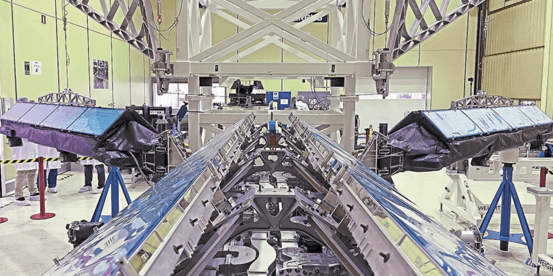
19th July 2022
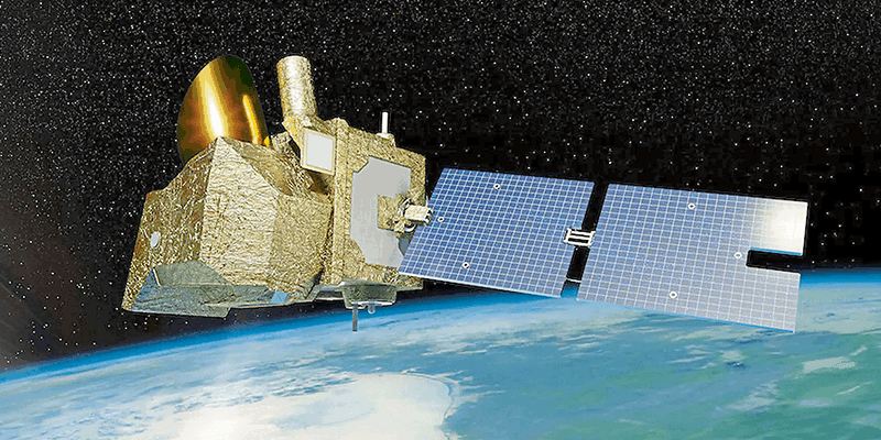
MetOp-SG-B weather satellite: Scatterometer flies through tests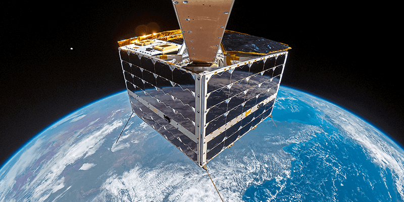
19th July 2022
NanoAvionics records first ever 4K resolution full satellite selfie in space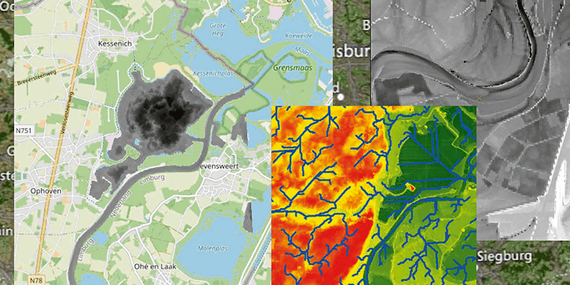
19th July 2022
rasdaman validated as INSPIRE compliant WCS
19th July 2022
Prestigious nomination for KOREC CEO, Alan Browne
19th July 2022
Global market overview of stereoscopic software solutions19th July 2022
HawkEye 360 releases maritime analytics to enhance dark ship detection19th July 2022
HERE powers BMW Maps with Predictive Routing19th July 2022
Promotion of FIG Congress 2022 at the Geospatial World Forum19th July 2022
Esri UK launches careers resources to inspire more students to study geography and GIS19th July 2022
1Spatial first contract with the state of New York
19th July 2022
Septentrio and CompoTEK announce collaboration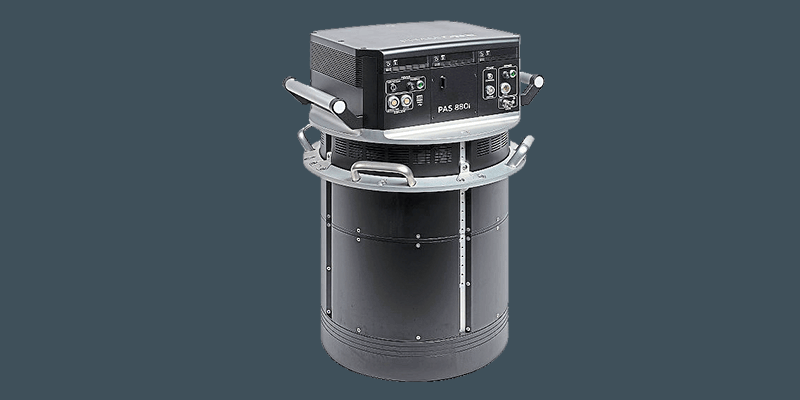
19th July 2022
Phase One announces next-generation aerial solutions enhanced with near infrared capabilities
19th July 2022
Bedfordshire Fire and Rescue Service select Cadcorp GIS for customer insight project
19th July 2022
Trimble announces new deployment of Applanix's POS LV to enable broader autonomy capabilities for IHI Corporation
19th July 2022
Eos Positioning Systems announces Eos Laser Mapping for Android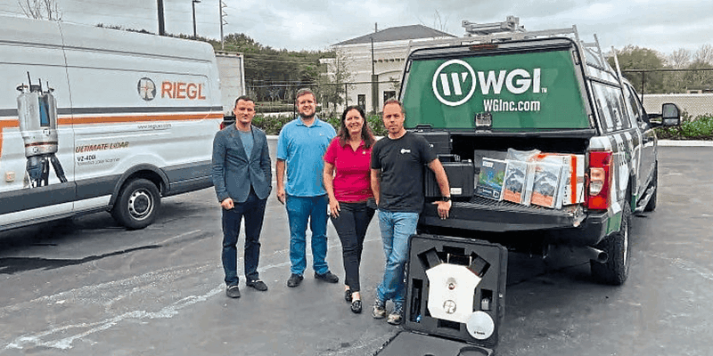
19th July 2022
RIEGL USA continues to provide mobile LiDAR solutions to WGI
19th July 2022
XMAP cloud GIS joins-up delivery for South Somerset19th July 2022
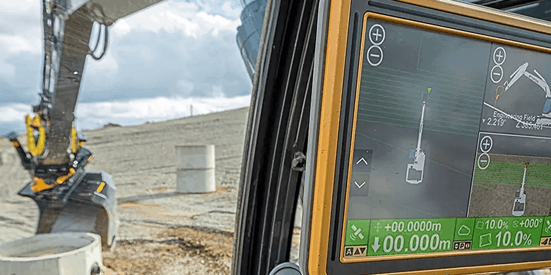
The new JCB Fastrac Icon features the Hexagon | NovAtel SMART7 GNSS reciever
19th July 2022
Use BIM to drive sustainability in construction
19th July 2022
The missing ingredient for achieving net zero
19th July 2022
Supporting carbon-neutral plans in Ireland

19th July 2022
Space technology enables trust in carbon credit markets


19th July 2022
Urban-rural land linkages and territorial justice as states of mind


19th July 2022
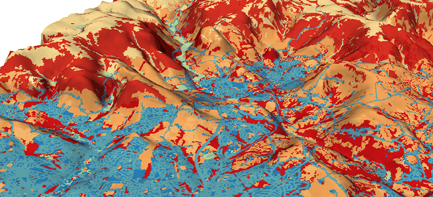
Maximising land use and minimising its impact
19th July 2022
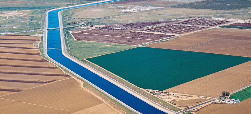
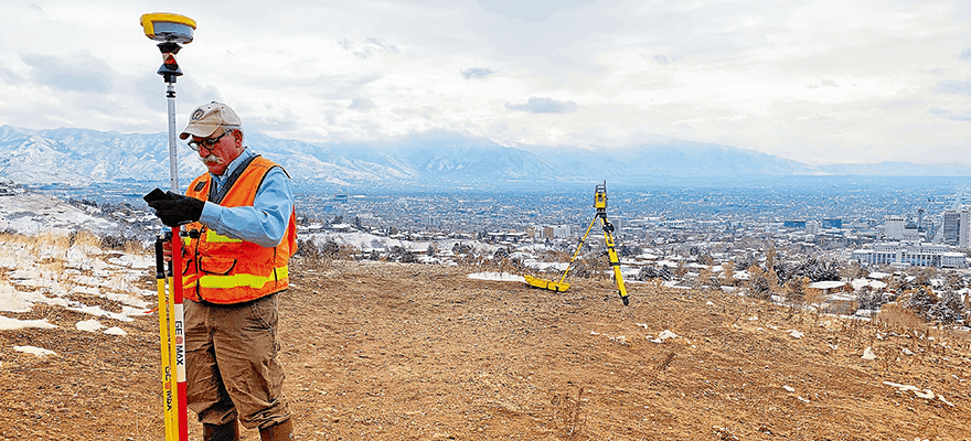
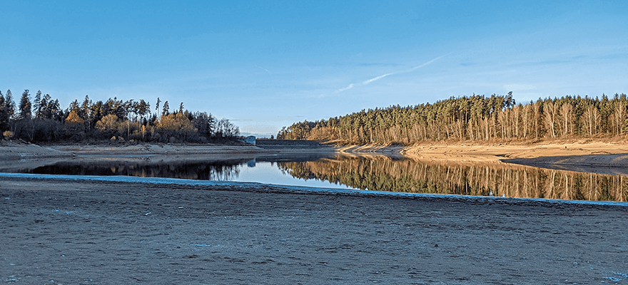
High precision 3D surveying of reservoir lakes