Share
With wave and storm damage to our coastline already costing more than £500 million annually, insurers, lenders, regulatory bodies, local authorities and others will welcome a new resource from the British geological survey.
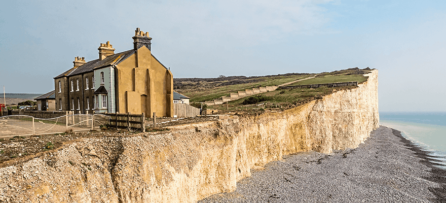
The warning from scientists is clear: erosion and inundation of our coastline is expected to increase in frequency and severity as climate change triggers sea-level rise and more extreme weather events.
Data suggests that, in the absence of protective measures, a million properties will be at potential risk from inundation by 2050, increasing to 1.25 million by the 2080s and 1.35 million by 2100. Agricultural land, businesses, historic sites and infrastructure networks and assets are equally at risk from subsidence, flooding and groundwater pollution.
With 17,819 km of highly diverse coastline around mainland Britain, some 15 per cent of which is potentially highly vulnerable to erosion, resilience planning calls for accurate and easily accessible data on where and when erosion, subsidence and landslides are likely to occur.
“Human influence may come and go but the underlying, fundamental natural deposits — the geology — are always an important factor to consider. A sea wall might be protecting weak sediments currently, but if that sea wall is breached or no longer maintained, we need to be aware of potential vulnerabilities in order to adapt the area to be more resilient,”says Katy Lee, Digital Product Lead at the British Geological Survey (BGS).
To help build that resilience, the BGS has drawn on a large number of existing datasets to create GeoCoast, an interactive GIS package with 1:50,000 scale mapping that offers consistent nation-wide coastal zone coverage with the exception of Northern Ireland, Orkney and Shetland. Its content includes the morphology, behaviour and vulnerability of the coastline, underpinned by its geology and coastal context (shape, orientation, tidal range, etc.)
GeoCoast is available in two versions:
- A free-to-use version under the Open Government Licence that can be downloaded or viewed on GeoIndex, and
- A Premium version, based on 50mx50m vector grid, the pricing of which is based on layers/geography.
Both versions will help users assess the geological factors that contribute to national, regional or localised coastal change and GeoCoast data can be combined with other assessments for broader ecological, morphological and societal impact analyses. A fee-free Data Exploration Licence is also available to third parties for in-house evaluation of the BGS data prior to committing to any commercial product development.
Following its launch in April of this year, an ongoing programme of GeoCoast development is underway and frequent reviews will determine the timing for future releases. For more information, please visit https://www.bgs.ac.uk/news/introducing-geocoast-new-coastal-datasets-from-bgs/


