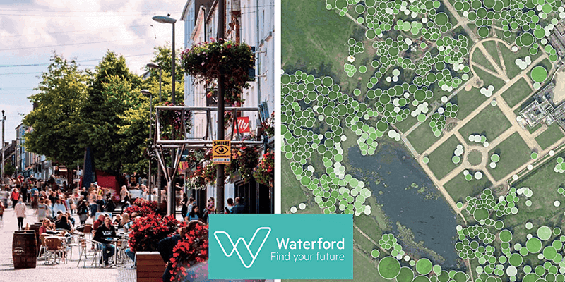
The city of Waterford is using Bluesky’s National Tree Map to help plan and measure its progress in carbon sequestration and storage.

The Republic of Ireland’s Climate Action Plan identified local authorities as key enablers in advancing climate action and required them to identify a Decarbonising Zone (DZ). Waterford City and County Council agreed that Waterford City would be the designated DZ. It will act as a “Transition Super-Lab”, where real-life initiatives to manage the transition from a fossil fuel- based local economy to carbon Net Zero are designed and implemented. DZ projects include building energy efficiency, sustainable transport, renewable energy generation and carbon sequestration.
Carbon sequestration and storage (CSS) occurs when CO2 is absorbed by trees, plants and crops through photosynthesis and is stored as carbon in biomass as well as in the soil. For urban areas, such as Waterford City, the obvious way of increasing CSS is to increase green infrastructure.
Jon Hawkins, IS Project Leader responsible for GIS Projects at Waterford City and County Council said; “Trees are an essential part of our green infrastructure, capturing and storing carbon as well as providing essential habitats, reducing flood risk, positively impacting health and reducing air pollution.
“So, to achieve our ambitions to be one of the lead cities in Europe in terms of carbon neutrality we must understand our starting point in terms of tree coverage.”
Using data from Bluesky’s National Tree Map, Waterford City and County Council gained a thorough understanding of current tree canopy cover across its entire administrative area (1,857 sq.km). Using the FME data integration tool alongside ArcGIS Pro software, the data was interrogated to calculate the percentage of tree cover for the 38 electoral divisions in the city area (42 sq.km). Initial results showed cover of between 2 and 21 percent, averaging at 12 percent.
To increase this to a target canopy cover of 20 percent, suitable and available sites for planting were assessed. Using the Bluesky data, alongside land use zonings from the Council’s Development Plan and land type classifications from Ordnance Survey, the Council is currently identifying parcels of land that may be appropriate, such as recreational land, open spaces and road verges. Further analysis will be undertaken to allow for minimum planting areas and growth of existing trees.
“The Bluesky National Tree Map has enabled and assisted conversations about current and future tree cover,” said Eoin Dullea, Horticulturist at Waterford City and County Council. “It allows us to visualise the urban environment, to include the urban forest from the desktop, and make data driven decisions that will inform future policies and budgets. It will also allow us to measure and report on progress over the next few years.”
Bluesky’s National Tree Map is a unique dataset created using innovative algorithms and image processing techniques combined with the most up-to-date and detailed aerial photography. In addition to three vector map layers, Crown Polygons, Idealised Crowns and Height Points, the NTM includes an attribute table including unique identification for each crown feature, height attributes and area calculations. The data is available in a range of formats for use in GIS, CAD and online mapping tools and is currently available for the whole of England, Wales, Scotland and the Republic of Ireland.


