Share
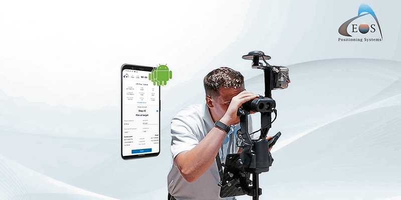
Eos Positioning Systems (Eos) announced its release of its popular Eos Laser Mapping for ArcGIS solution on Android devices. Previously the free solution, which allows mobile crews to capture asset locations from a distance with survey-grade accuracy, was available only on iOS. The solution combines market-leading technology from geographic information system (GIS) provider Esri, laser rangefinders from Laser Tech (LT), and Eos' own popular Arrow Series GNSS receivers. The Eos Laser Mapping release on Android currently supports three workflows, or mapping methodologies: Standard Laser Offset (sometimes called Range-Azimuth), Range-Range (or Range-Intersect), and Range-Backsight (a total station-like method). www.eos-gnss.com


