Share
Data management and collaboration can be challenging for surveyors and construction professionals around the world. GeoMax has attempted to overcome some of the issues with its X-PAD 365 software.
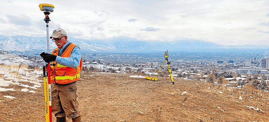
You will probably have heard the saying, “The only consistent thing in life is change.” Some things appear to never change, such as the pressure faced by surveyors to consistently deliver accuracy and excellence, on time and under budget.
These high expectations have existed since the early years of the surveying profession. Whether laying out the foundation of an industrial complex or drawing residential property lines, collecting and properly managing the right data, when and where it is needed, has always been a key to success.
While the demands for accuracy, excellence and reliability remain the same, the tools to deliver them have changed, providing improvements for land and construction surveyors alike. Measurement instruments that were once operated by multiple people, and entirely through manual processes, now provide benefits like fully automatic single person operation, faster processors, onboard and external data storage, extended ranges, increased accuracy, and the ability to connect to the internet and other devices through Wi-Fi and Bluetooth.
Demands for accuracy and reliability remain unchanged but breaking down these barriers is possible through adopting new technology. Tools for delivering results have improved for land and construction surveyors alike. Instruments once operated manually by multiple people can now be run easily by one person. Additional upgrades include onboard and external data storage, extended ranges, and connectivity to the internet and other devices.
The most significant advancements are related to the industry's transition from traditional surveying measurements to digital data management, thanks to the continuous development of user-friendly, productive software. The evolution of software, for both the field and the office, has changed surveying and construction with enhanced accuracy, efficiency, and convenience.
Accessible data
“After developing both a topographic solution to be used in the field with topographic instruments and a desktop solution to process and prepare the data collected in the field for layout, it was clear there was a gap between the field and office,” said Keven Corazza, team leader for software engineering at GeoMax.
Customers attempted to fill this gap with multiple patchwork systems including data transfers through USB drives, cable connections, email, or WhatsApp. These incongruent tactics led to disparate data and flawed collaboration between the field team and the office.
We created the X-PAD 365 web-based platform to allow our customers to work with the data independently from the device, the place, or the time. Data can be exchanged directly within the applications without the need to use any other tool or workflow.
According to Corazza, “Customers want to have clear and direct workflows and they need to focus more on their specific work. All other complications must be easily solved transparently by the applications without manual effort and without mistakes.”
As it is a cloud platform, X-PAD 365 can be easily accessed from any internet-connected device. Users can log on in the field through a browser or directly on X-PAD Ultimate field software. Internet connectivity is no longer an issue as WiFi connectivity is available on most job sites today. Operators can also access X-PAD 365 in the office through a browser or directly on X-PAD Fusion, GeoMax’s integration and post-processing software.
Collaboration
One of X-PAD 365’s unique features is Collaborative Survey and Stakeout. With this, it is possible to survey or stakeout by exchanging data acquired in real time between different crews working on the same site. Teams can also use different instruments for field operations. Thus, a colleague can acquire data in real time from a GNSS receiver, while another measures with a total station. The integration saves time and avoids duplicating work in areas where it is already complete. Automatic backup and restore is another favorite feature among customers, protecting valuable data and minimising repetitive tasks and setups.
“We have received feedback from customers that had broken their device onsite and they were relieved to know that all of their data was not lost due to the automatic backup and restore function,” says Irina Lungu, product manager for software and services. “They were able to install the field software on their mobile device and carry on their tasks without having to end their working day and fall behind schedule.”
X-PAD 365 also includes a built-in group chat tool called X-CHAT. Designed to mitigate poor transparency and collaboration that often plagues surveying and construction crews, X-CHAT lets users share their stakeout status and support each other by making quick and reliable decisions together. The uniqueness of this feature lies in the fact that X-Chat is integrated into the X-PAD software. It can be used directly from the moment the user turns on the X-PAD Ultimate and X-PAD Fusion solutions. X-Chat is not only used as an instant messaging system but also to quickly transfer data from one user to another; the type of data is immediately identified once X-PAD is running without having to save a file or import it. These features do not exist on Whatsapp.
With the integrated chat feature, it is possible not only to communicate with other crew members, but to also send single measurements, photographs of point coordinates systems and projections.
Simple file management
File and asset management features in X-PAD 365 allow users to store and organise any files collected on the job. The file management system is fully integrated into the software; once the user is connected to X-PAD 365, an automatic connection is made. The user can immediately access the storage space and import or export data. Other platforms require manual authentication with an id and password, which is not the case with X-PAD 365. The file manager allows users to share folders and files with other users and they are notified when changes or data have been modified.
Product training materials are also available in the Virtual Training Academy, so when customers are, facing difficulties on the job site, they can easily check user manuals, guides, and short “how to” videos, without contacting their distributor for support or additional information.
Conclusion
What makes the X-PAD 365 web solution so special is the wide range of unique
features fully integrated with GeoMax
software, allowing users to enjoy smooth
workflows without having to switch between
platforms, saving time and avoiding errors
– essential assets for any professional
when tight deadlines are at stake.


