
Terrestrial Surveying
The 2D and 3D measurement of points, distances and angles of features and objects on the Earth’s surface. See also Surveying Instrumentation topic. This topic covers the science and techniques that govern the 2D and 3D measurement of points, distances and angles of natural and man-made features and objects on the Earth’s surface. These measurements are acquired for a wide range of practical applications in construction, engineering, land use planning, mapmaking and cadastral projects, See also Surveying Instrumentation topic for the various tools employed to acquire survey measurements.
STRYDE enables 10 new geothermal seismic surveys with recent contract wins
11th April 2023
STRYDE enables 10 new geothermal seismic surveys with recent contract winsTopcon acquires Digital Construction Works
27th March 2023
Topcon acquires Digital Construction Works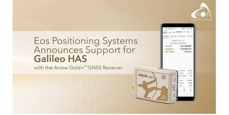
Eos Positioning Systems Announces Support for Galileo HAS with its Arrow Gold+ GNSS Receiver
16th March 2023
Eos Positioning Systems Announces Support for Galileo HAS with its Arrow Gold+ GNSS Receiver
Field is the Name of One of Europe’s Largest Geodata, Collection and Analysis Company
1st March 2023
Field is the Name of One of Europe’s Largest Geodata, Collection and Analysis CompanyEmlid released the upgraded survey app for iOS and Android
14th December 2022
Emlid released the upgraded survey app for iOS and Android

Leica AP20 AutoPole wins Wichmann Innovations Award at INTERGEO 2022
25th October 2022
Leica AP20 AutoPole wins Wichmann Innovations Award at INTERGEO 2022Topcon set to feature latest technologies at Bauma in Munich
24th October 2022
Topcon set to feature latest technologies at Bauma in Munich
World Premiere INTERGEO 2022: The New RIEGL VZ-600i
20th October 2022
World Premiere INTERGEO 2022: The New RIEGL VZ-600i
EAASI joins the Private Sector Network of the UNGGIM
17th October 2022
EAASI joins the Private Sector Network of the UNGGIMNew solution from Teledyne Geospatial delivers survey-grade lidar point clouds from UAV platforms
14th October 2022
New solution from Teledyne Geospatial delivers survey-grade lidar point clouds from UAV platformsTopcon to exhibit latest surveying and digital workflow solutions at Intergeo 2022
13th October 2022
Topcon to exhibit latest surveying and digital workflow solutions at Intergeo 2022Trimble Changes Headquarters to Westminster, Colorado
10th October 2022
Trimble Changes Headquarters to Westminster, ColoradoAnnouncing a new Trimble BuildingPoint dealer for the UK and Ireland
22nd September 2022
Announcing a new Trimble BuildingPoint dealer for the UK and IrelandTrimble Sets New Standard For Robotic Total Station Scalability
22nd September 2022
Trimble Sets New Standard For Robotic Total Station ScalabilityCarl Pulfrich Award 2022 presented to Prof. Dr. Charles Toth
19th September 2022
Carl Pulfrich Award 2022 presented to Prof. Dr. Charles TothTopcon helps safely relocate Old Salts RFC
9th September 2022
Topcon helps safely relocate Old Salts RFC
Emlid released Reach RX pocket-sized RTK rover
31st August 2022
Emlid released Reach RX pocket-sized RTK roverTim Foxall becomes fourth Managing Director in Glanville’s 50-year history
19th July 2022
Tim Foxall becomes fourth Managing Director in Glanville’s 50-year historyPrestigious nomination for KOREC CEO, Alan Browne
19th July 2022
Prestigious nomination for KOREC CEO, Alan Browne
Promotion of FIG Congress 2022 at the Geospatial World Forum
19th July 2022
Promotion of FIG Congress 2022 at the Geospatial World Forum

Yorkshire-based geospatial business and marketing consultancy celebrates ninth year in business
8th July 2022
Yorkshire-based geospatial business and marketing consultancy celebrates ninth year in businessTopcon Positioning helps Irish water flow more smoothly
6th June 2022
Topcon Positioning helps Irish water flow more smoothlyTopcon continues its commitment to Bridges to Prosperity, donates auto levels
23rd May 2022
Topcon continues its commitment to Bridges to Prosperity, donates auto levels
Dual aerial sensors yield impressive results
19th May 2022
Dual aerial sensors yield impressive resultsCHC Navigation Introduces the i73+ Pocket-sized GNSS Base and Rover with Built-in UHF Modem
18th May 2022
CHC Navigation Introduces the i73+ Pocket-sized GNSS Base and Rover with Built-in UHF Modem

Why we need to keep talking about Covid-19
13th April 2022
Why we need to keep talking about Covid-19
The world’s first tilt-compensated total station pole solution for construction and surveying professionals
12th April 2022
The world’s first tilt-compensated total station pole solution for construction and surveying professionals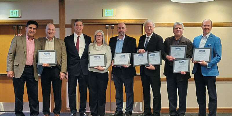
MAPPS presents the 2021 Geospatial Products and Services Excellence Awards
12th April 2022
MAPPS presents the 2021 Geospatial Products and Services Excellence Awards
Juniper Systems Limited expands sales team for United Kingdom and Ireland
12th April 2022
Juniper Systems Limited expands sales team for United Kingdom and Ireland
1Spatial unveils new survey capabilities in 1Edit
12th April 2022
1Spatial unveils new survey capabilities in 1Edit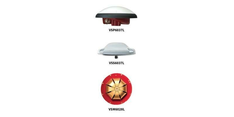
Tallysman adds eXtended Filtering to the full line of VeroStar Precision GNSS Antennas
6th April 2022
Tallysman adds eXtended Filtering to the full line of VeroStar Precision GNSS AntennasNew Leica AP20 AutoPole — the world’s first tilt-compensated total station pole solution for construction and surveying professionals
16th March 2022
New Leica AP20 AutoPole — the world’s first tilt-compensated total station pole solution for construction and surveying professionals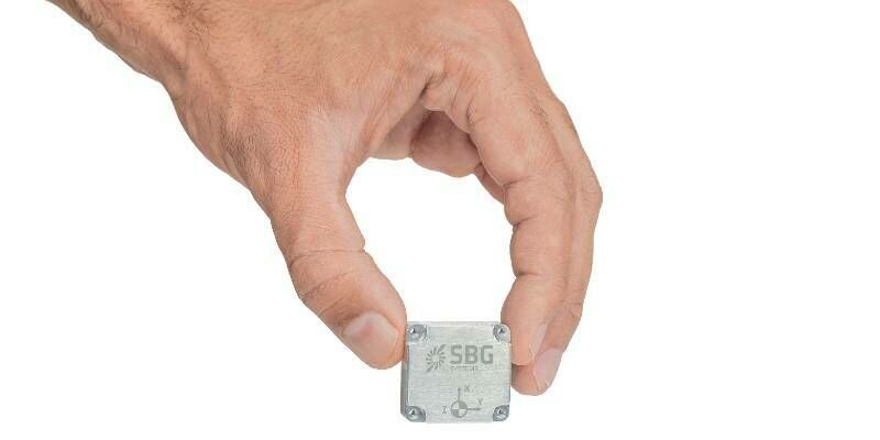
Pulse-40: SBG Systems Introduces its First Tactical Grade IMU on the Market
8th February 2022
Pulse-40: SBG Systems Introduces its First Tactical Grade IMU on the Market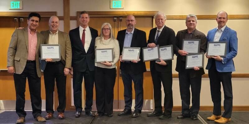
MAPPS Presents the 2021 Geospatial Products and Services Excellence Awards
7th February 2022
MAPPS Presents the 2021 Geospatial Products and Services Excellence Awards
CNH Deploys Tallysman Verachoke Geodetic Reference Station Antennas
26th January 2022
CNH Deploys Tallysman Verachoke Geodetic Reference Station AntennasJuniper Systems Limited Expands Sales Team for United Kingdom and Ireland
25th January 2022
Juniper Systems Limited Expands Sales Team for United Kingdom and Ireland
1Spatial unveils new survey capabilities in 1Edit
21st January 2022
1Spatial unveils new survey capabilities in 1EditKOREC Group seeks to expand workforce in Ireland and UK with 30 new positions
6th January 2022
KOREC Group seeks to expand workforce in Ireland and UK with 30 new positions