Trimble Expands Sensor Integration and Support for its Geospatial Monitoring Solution
29th December 2021
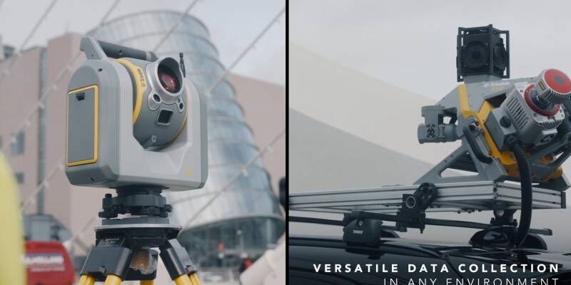
Trimble Expands Sensor Integration and Support for its Geospatial Monitoring SolutionThe 2D and 3D measurement of points, distances and angles of features and objects on the Earth’s surface. See also Surveying Instrumentation topic. This topic covers the science and techniques that govern the 2D and 3D measurement of points, distances and angles of natural and man-made features and objects on the Earth’s surface. These measurements are acquired for a wide range of practical applications in construction, engineering, land use planning, mapmaking and cadastral projects, See also Surveying Instrumentation topic for the various tools employed to acquire survey measurements.
29th December 2021
Trimble Expands Sensor Integration and Support for its Geospatial Monitoring Solution22nd December 2021
Topcon Positioning Group expands global headquarters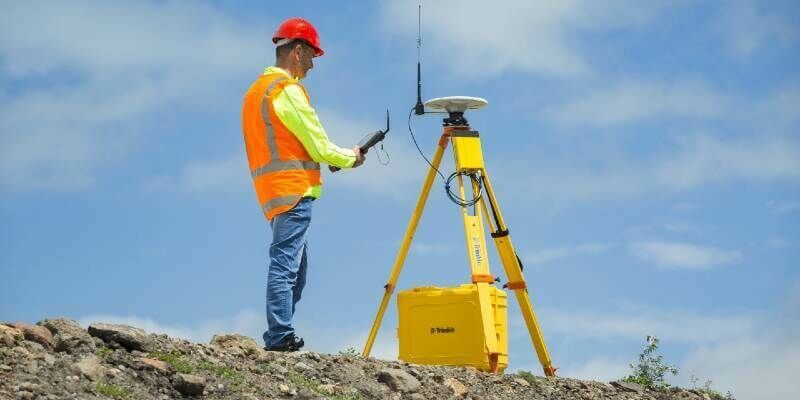
8th December 2021
Trimble's New GNSS Base Station Gives Users Improved Satellite Tracking And Remote Operation For Civil Construction, Geospatial And Agriculture Applications
15th October 2021
Handheld announces new version of the NAUTIZ X6 ultra-rugged Android phablet
23rd September 2021
Applanix Introduces New Term Licenses for POSPac MMS, POSPac UAV and New Subscription for POSPac PP-RTX for UAV to Lower Upfront Costs19th August 2021
Data, data, data: the future of surveying19th August 2021
Spectra Geospatial Introduces Next Generation of Field Solutions19th August 2021
Topcon Positioning GB management Systems Accredited to ISO9001:2015
17th August 2021
Tallysman Introduces the HC990EXF Extended-Filter Embedded Full-Band GNSS Helical Antenna


1st July 2021
Trimble T100 Tablet Delivers High-Performance Computing in the Field
1st July 2021
Silicon Sensing announces upgraded gyro for downhole surveying /north finding
1st July 2021
Topcon Positioning GB appoints Andrew Flood as new UK Business Manager
1st July 2021
Plowman Craven Passes Reins To Its Employees
1st July 2021
Pix4D launches survey-grade 3D modeling on mobile devices with RTK accuracy1st July 2021
G2Survey Limited: The latest Leica Geosystems authorised distributor and service partner
1st July 2021
Trimble and Amberg Technologies Collaborate on a Solution for Tunneling
29th April 2021
Topcon Lined Up as Expert Partner for Digital Skills Initiative
29th April 2021
New Sokkia total stations designed as part of full, productive workflow solution22nd April 2021
Plowman Craven Passes Reins To Its Employees22nd April 2021
Trimble and Amberg Technologies Collaborate on a Solution for Tunneling Surveyors and Construction Professionals in North and South America
15th April 2021
Discover how the SP85 GNSS receiver is used in the field2nd March 2021
Parrot, UgCS partnership augments drone mission planning, mapping1st March 2021
Septentrio opens R&D center in Espoo, Finland1st March 2021
Ecobot joins Trimble’s GIS Partner Program to empower environmental regulatory reporting1st March 2021
Atmos UAV joins forces with Topcon Positioning Group21st February 2021
Topcon Lined Up as Expert Partner for Digital Skills Initiative
4th February 2021
World’s Longest and Deepest Alternating Current Cable Route Surveyed with Spectra Geospatial SP6020th January 2021
SCCS and Senceive Announce Exciting Distribution Partnership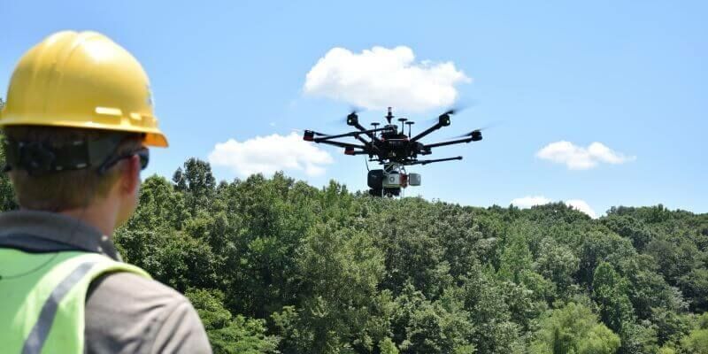
18th January 2021
A Pragmatic Approach to Entering the Drone LIDAR Business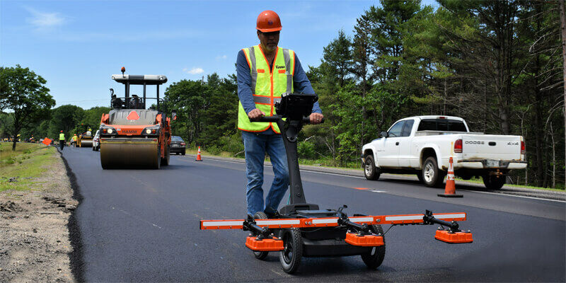
14th January 2021
GSSI Announces Distribution Agreement with InstroTek on PaveScan RDM Continuous Asphalt Density Gauge


13th January 2021
DJI Unveils First Integrated Lidar Drone Solution and A Powerful Full-Frame Camera Payload For Aerial Surveying
13th January 2021
Leica Geosystems innovates automated total station portfolio
13th January 2021
Juniper Systems Limited Expands Team in EMEA, India
8th January 2021
ClearSkies Geomatics acquired the AERIALSURVEY.com15th December 2020
Sercel Wins Second Saudi Mega-Crew Equipment Contract14th December 2020
Emlid Released ReachView 3: Native App for Reach Receivers25th November 2020
Sercel Awarded Seismic Equipment Contract for Saudi Mega-Crew

4th November 2020
Leica Geosystems innovates automated total station portfolio1st November 2020
GeoMax launches major update to X-PAD software