Share
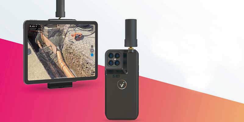
Pix4D announces the commercialization and worldwide exclusive distribution of the viDoc RTK rover, enabling ground-based RTK-grade 3D scanning with iOS mobile phones and tablets through the Pix4Dcatch app. Conceived by viGram GmbH., a German company led by professional surveyors, the viDoc RTK rover is designed with an eye for accuracy and works with Pix4Dcatch for image acquisition. The hand-held RTK rover is a replacement for more expensive ground surveying equipment that does not compromise on accuracy to achieve 3D, actionable results. The viDoc RTK rover, synchronized with Pix4Dcatch, geotags the images of a 3D scan in real-time, while connected to any NTRIP service. Extensive research has revealed that it is possible to achieve 3D models with an absolute geolocation accuracy of less than 5 cm.
www.pix4d.com


