MGISS Mapping Technology Helps Urban Surveyors Achieve Ultimate Accuracy
30th October 2020
MGISS Mapping Technology Helps Urban Surveyors Achieve Ultimate AccuracyThe 2D and 3D measurement of points, distances and angles of features and objects on the Earth’s surface. See also Surveying Instrumentation topic. This topic covers the science and techniques that govern the 2D and 3D measurement of points, distances and angles of natural and man-made features and objects on the Earth’s surface. These measurements are acquired for a wide range of practical applications in construction, engineering, land use planning, mapmaking and cadastral projects, See also Surveying Instrumentation topic for the various tools employed to acquire survey measurements.
30th October 2020
MGISS Mapping Technology Helps Urban Surveyors Achieve Ultimate Accuracy

29th October 2020
Japanese City Using GIS on iPads for Field Survey
29th October 2020
RIEGL VUX-120 UAV LiDAR Sensor for Corridor Mapping29th October 2020
EuroGeographics pledges support for UN-GGIM focus on authoritative geospatial data29th October 2020
Virtual Surveyor Offers Enhanced Functionality in Free Version of Drone Surveying Software
28th October 2020
DJI Unveils First Integrated Lidar Drone Solution And A Powerful Full-Frame Camera Payload For Aerial Surveying21st October 2020
Trimble and Boston Dynamics Announce Strategic Alliance to Extend the Use of Autonomous Robots in Construction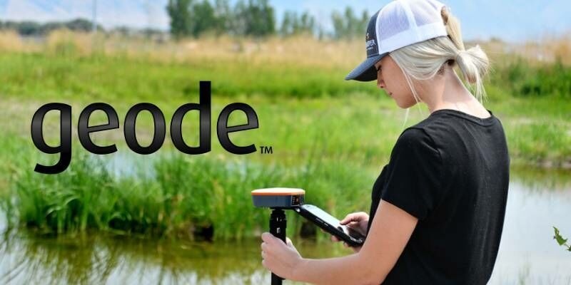
20th October 2020
Real-Time Data, Ultra-Rugged: Geode GNS2 GPS Receiver14th October 2020
Stephen Slessor becomes new President of CICES1st October 2020
Improve your UAV LiDAR survey accuracy with Routescene Ground Control Targets
21st September 2020
European Association of Aerial Surveying Industries Gather Virtually for First AGM17th September 2020
Septentrio releases new GNSS products with unique built-in corrections17th September 2020
Spectra Geospatial and Aplitop collaborate on tunneling survey solution
16th September 2020
Virtual Surveyor introduces new feature to drone surveying software10th September 2020
Virtual Surveyor Offers Enhanced Functionality in Free Version of Drone Surveying Software
8th September 2020
European Association of Aerial Surveying Industries Appoints Secretary-General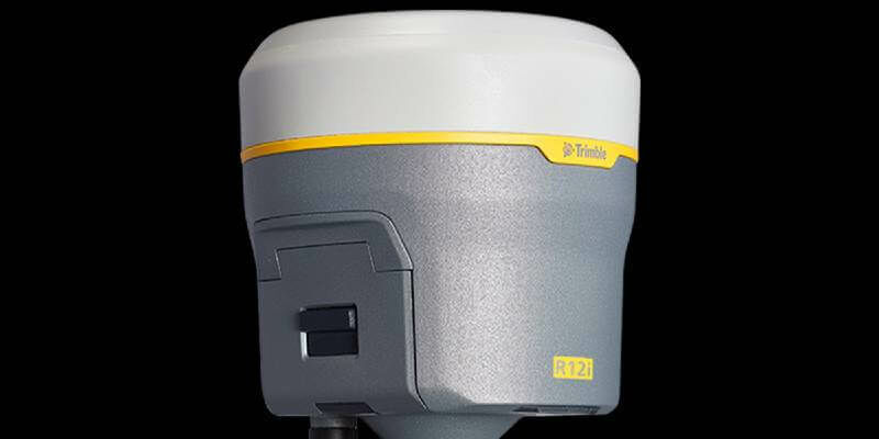
2nd September 2020
Trimble Announces The Next Evolution Of Its Flagship GNSS Solution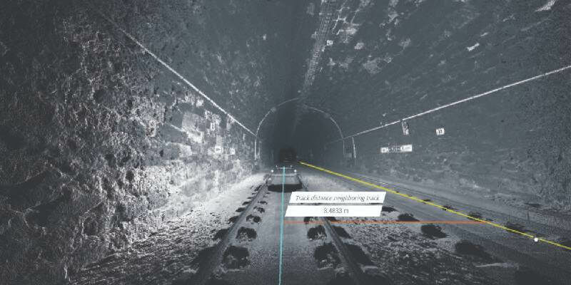
2nd September 2020
Hexagon Selected for Innovate UK Rail Infrastructure Artificial Intelligence Project


26th August 2020
Surveyors all over the Globe rely on Nikon Total Stations26th August 2020
Brandt Completes Sokkia Canada Acquisition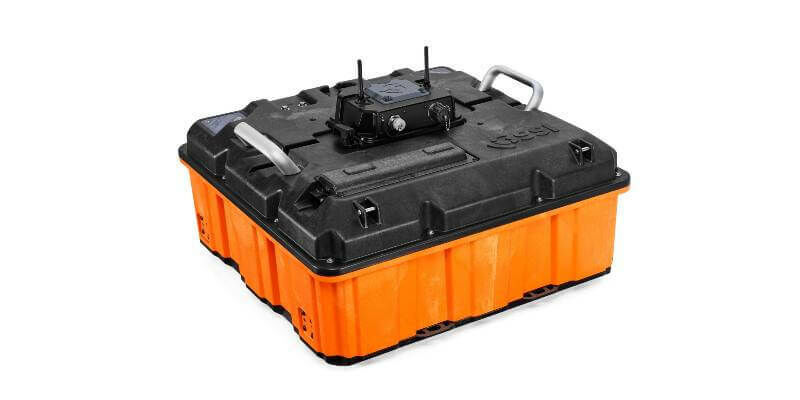
21st August 2020
GSSI Announces the GS Series GPR Product Line for Geophysical and Environmental Surveys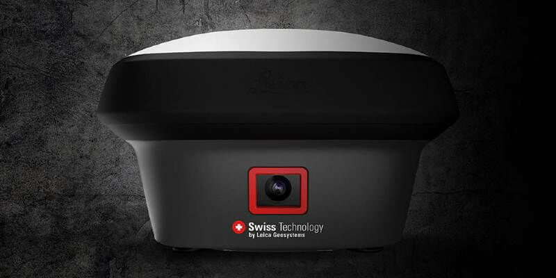
19th August 2020
GNSS RTK rover with Visual Positioning increases safety, simplifies surveying
6th August 2020
Spectra Geospatial and Aplitop Collaborate on Tunneling Survey Solution
3rd August 2020
Silicon Sensing - DMU30 High Performance IMU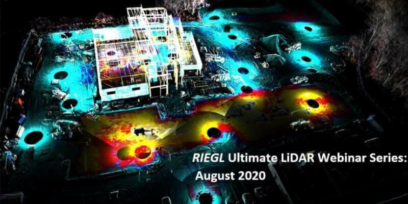
30th July 2020
Riegl’s Ultimate Lidar Webinar Series And More: August 2020
28th July 2020
Tallysman Introduces a line of embedded Full-band and Triple-band VeroStar GNSS Antennas
27th July 2020
How to Generate a DSM and Point Cloud with Correlator3D
27th July 2020
MicroSurvey - FieldGenius for Android New Project
13th July 2020
Artificial intelligence in the building pit: Georeferenced survey data via app
8th July 2020
Brandt Completes Sokkia Canada Acquisition, Expands Position as #1 Geospatial Supplier
6th July 2020
Intergeo 2020: 100 percent digital with a real network atmosphere1st July 2020
New Quad-Band Receiver Delivers Ultra-Precise Position For Demanding Marine Operations1st July 2020
Road-SIT Web: The Roads Global Service in Italy1st July 2020
Septentrio adds Sapcorda SAPA service to GNSS receiver portfolio1st July 2020
Parrot launches ANAFI USA: A drone designed for first responders and enterprise professionals