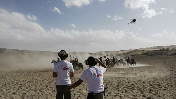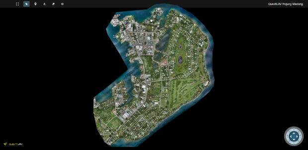
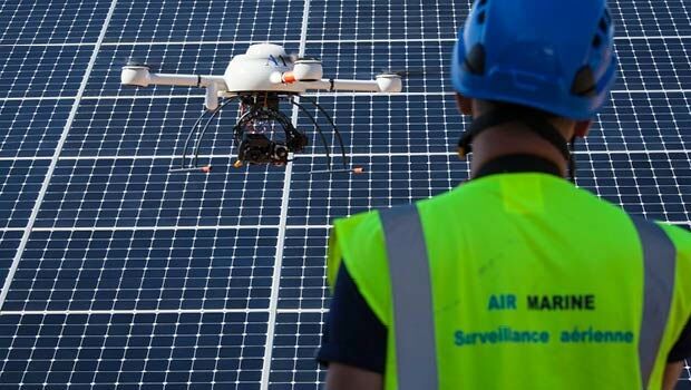
QuestUAV's South Korean Partner maps Madang, Papua New Guinea
1st April 2016
QuestUAV's South Korean Partner maps Madang, Papua New GuineaThe 2D and 3D measurement of points, distances and angles of features and objects on the Earth’s surface. See also Surveying Instrumentation topic. This topic covers the science and techniques that govern the 2D and 3D measurement of points, distances and angles of natural and man-made features and objects on the Earth’s surface. These measurements are acquired for a wide range of practical applications in construction, engineering, land use planning, mapmaking and cadastral projects, See also Surveying Instrumentation topic for the various tools employed to acquire survey measurements.
1st April 2016
QuestUAV's South Korean Partner maps Madang, Papua New Guinea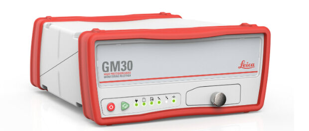
30th March 2016
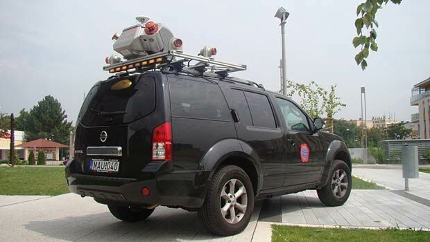
New Leica Geosystems reference servers and monitoring receiver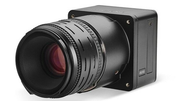
30th March 2016
Direct Georeferencing with Phase One iXU 150 Camera and POS AVX 210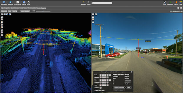
30th March 2016
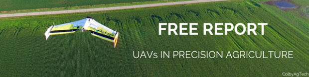
Free Report: UAVs in Precision Agriculture30th March 2016
Trimble Launches FieldPoint RTX Correction Service29th March 2016
DMT successfully completes exploration seismic project in Munich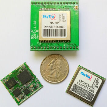
29th March 2016
SkyTraq Launches Low-Cost Feature-Rich RTK Receiver24th March 2016
ULA Atlas V Rocket lifts off with 3D Printed Parts24th March 2016
Trimble Seismic Navigation Systems for Geophysical Exploration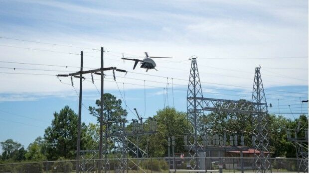
23rd March 2016
Launch Of Utility Training Academy For Unmanned Aerial Systems
23rd March 2016
Ben Nevis gains a metre thanks to GPS height measurement23rd March 2016
Topcon GNSS receivers chosen for large-scale Finland national network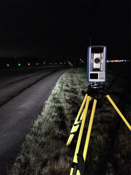
22nd March 2016
FOCUS 35 Shines in Nighttime Topographic Survey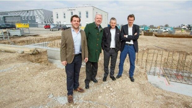
22nd March 2016
Ground-breaking ceremony at Airborne Technologies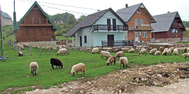
24th February 2016
Inclusive, safe, resilient and sustainable
21st January 2016
INTERGEO: supporting Hamburg’s Smart City quest

7th January 2016
INTERGEO: the global hub for Geo business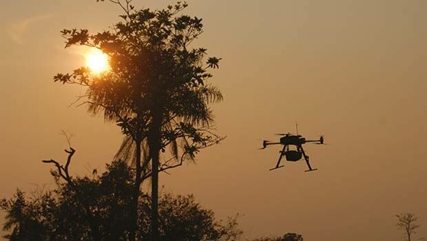
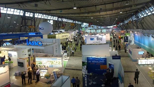
28th October 2015
INTERGEO 2015 Review - Going global. Going great!


25th August 2015
From the wisdom of the ages to challenges of the modern world