XMAP Mid Sussex Tree 800x400 1

XMAP Helps Mid Sussex Council Protect Amenity Trees

9th May 2022

XMAP Helps Mid Sussex Council Protect Amenity Trees
468px NOAA logo

NOAA showcases new mapping tool for marine species

2nd May 2022

NOAA showcases new mapping tool for marine species
R Event Overview 1

Association for Geographic Information Celebrates Return to In Person Events

29th April 2022

Association for Geographic Information Celebrates Return to In Person Events
GEO Business main stage seminar 2021 1 1

GEO Business announces Main Stage line-up

28th April 2022

GEO Business announces Main Stage line-up
Usgif april 2022 1

USGIF Announces New Scholarships and a New Working Group Focused on Diversity, Inclusion, and Belonging

28th April 2022

USGIF Announces New Scholarships and a New Working Group Focused on Diversity, Inclusion, and Belonging
QEII Centre London 800x400 1

Esri UK's annual conference returns to London's QEII Centre after two virtual years

14th April 2022

Esri UK's annual conference returns to London's QEII Centre after two virtual years
V21i01 Spr22 lead image hi res amd

The key to disaster-resilient grids of the future

13th April 2022

The key to disaster-resilient grids of the future
V21i01 Spr22 Adam Burke Headshot amd

Cultivating connections

13th April 2022

Cultivating connections

TerraGo joins the Esri ArcGIS Marketplace with GeoPDF Publisher for ArcGIS Pro

12th April 2022

TerraGo joins the Esri ArcGIS Marketplace with GeoPDF Publisher for ArcGIS Pro
XMAP Geoxphere 04120 GIS amd

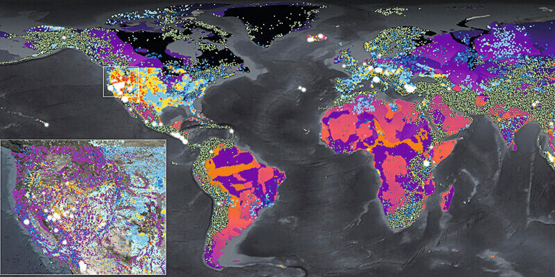
XMAP cloud GIS brings government flexible working closer to home
12th April 2022

XMAP cloud GIS brings government flexible working closer to home
V21i01 Spr22 CGG Geo Verse Geothermal image amd

CGG delivers new multi-client study for screening geothermal resources

12th April 2022

CGG delivers new multi-client study for screening geothermal resources

1Spatial unveils new survey capabilities in 1Edit

12th April 2022

1Spatial unveils new survey capabilities in 1Edit

Esri releases updated land-cover map with new sets of global data
12th April 2022

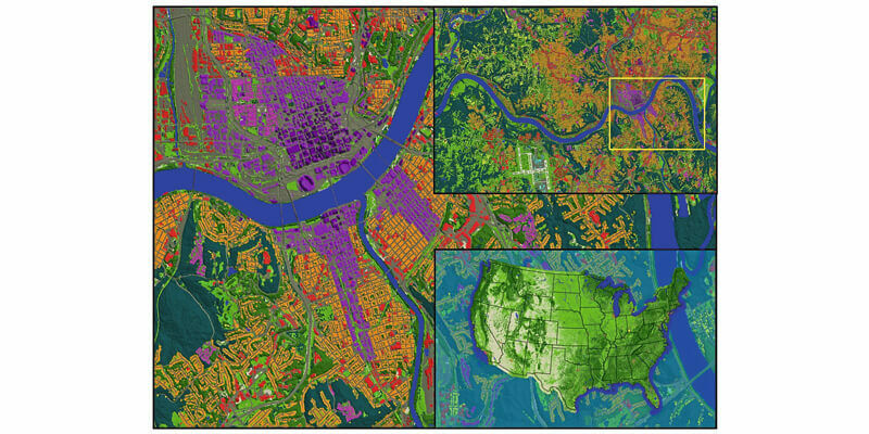
Esri releases updated land-cover map with new sets of global data
V21i01 Spr22 LAND INFO Cincinnati 10m 5 G Geodata Clutter amd

LAND INFO announces updated 10m USA countrywide land use land cover mapping dataset

12th April 2022

LAND INFO announces updated 10m USA countrywide land use land cover mapping dataset
V21i01 Spr22 032 sf wdh trident park amd

Migration to Cadcorp cloud hosted desktop GIS and web mapping supports social housing provider's digital strategy

12th April 2022

Migration to Cadcorp cloud hosted desktop GIS and web mapping supports social housing provider's digital strategy
V21i01 Spr22 Francisca Rockey BG amd

Geospatial scholarship fund helps black and mixed black heritage students studying geography at university

12th April 2022

Geospatial scholarship fund helps black and mixed black heritage students studying geography at university
Geobusiness 2022 1

The GEO Business 2022 programme is now live

7th April 2022

The GEO Business 2022 programme is now live
Data Enrichment 800x400 1

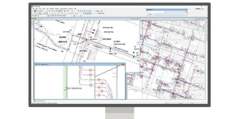
New Localisation Options in Improved 1Data Gateway
6th April 2022

New Localisation Options in Improved 1Data Gateway
Products G Technology 800 1

Hexagon helps Electricity Company of Ghana modernise electricity distribution

6th April 2022

Hexagon helps Electricity Company of Ghana modernise electricity distribution
Bruton South Somerset Geoxphere 800

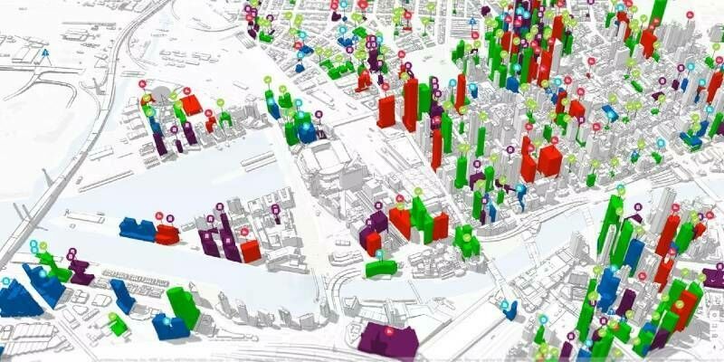
XMAP Cloud GIS Joins-Up Service Delivery for South Somerset
5th April 2022

XMAP Cloud GIS Joins-Up Service Delivery for South Somerset
Planning pilots comp Esri UK1 400

Local planning authority projects explore how best to digitise planning process

1st April 2022

Local planning authority projects explore how best to digitise planning process
Android Laser Mockup 400 1

Eos Positioning Systems Announces Eos Laser Mapping for Android

1st April 2022

Eos Positioning Systems Announces Eos Laser Mapping for Android
Road Shields Map

TatukGIS Integrates Road Shields

24th March 2022

TatukGIS Integrates Road Shields
GEO21 Allan Jamieson speaker scaled 1

GEO Business is back on 18-19 May

16th March 2022

GEO Business is back on 18-19 May
Geospatial Scholarship Fund 800

Geospatial Scholarship Fund helps Black and mixed Black heritage students studying geography at university

15th March 2022

Geospatial Scholarship Fund helps Black and mixed Black heritage students studying geography at university
SBC Office fb 800

Stevenage Borough Council and East Herts District Council ICT Partnership move to Cadcorp corporate GIS in the cloud

15th March 2022

Stevenage Borough Council and East Herts District Council ICT Partnership move to Cadcorp corporate GIS in the cloud
Asia Overlay Blend Halo 1

Esri Releases Updated Land-Cover Map with New Sets of Global Data

14th March 2022

Esri Releases Updated Land-Cover Map with New Sets of Global Data
CGG Geo Verse Geothermal 1

CGG Delivers New Multi-Client Study for Screening Geothermal Resources

9th March 2022

CGG Delivers New Multi-Client Study for Screening Geothermal Resources
XMAP Active Travel Bath 1

XMAP GIS Tool Aids UK Government’s £2 Billion Active Travel Schemes

8th March 2022

XMAP GIS Tool Aids UK Government’s £2 Billion Active Travel Schemes
SIS9 SR Cadcorp 800 1

Cadcorp SIS 9 service release provides additional benefits to users

4th March 2022

Cadcorp SIS 9 service release provides additional benefits to users
Hshiajv1 1

GISCI Announces GISCI Endorsement Designation

4th March 2022

GISCI Announces GISCI Endorsement Designation
Data Enrichment 800x400 1

1Spatial Trading Update

3rd March 2022

1Spatial Trading Update
Geoweek2022 800

Geo Week 2022 Brings the Geospatial and Built Worlds Together In-Person, Exceeds Expectations

23rd February 2022

Geo Week 2022 Brings the Geospatial and Built Worlds Together In-Person, Exceeds Expectations
Gm231 new 1

Blue Marble Geographics Releases Global Mapper and Global Mapper Pro version 23.1

23rd February 2022

Blue Marble Geographics Releases Global Mapper and Global Mapper Pro version 23.1
Image002 2

TerraGo Joins the Esri ArcGIS Marketplace with GeoPDF Publisher for ArcGIS Pro

17th February 2022

TerraGo Joins the Esri ArcGIS Marketplace with GeoPDF Publisher for ArcGIS Pro
XMAP Geoxphere 04120 800x400 1

XMAP Cloud GIS Brings Government Flexible Working Closer to Home

16th February 2022

XMAP Cloud GIS Brings Government Flexible Working Closer to Home
Montana 800x400 1

1Spatial Next Generation 911 contract win with State of Montana

16th February 2022

1Spatial Next Generation 911 contract win with State of Montana
Data Enrichment 800x400 1

1Spatial Listed in Top 100 Companies in Cambridgeshire League

14th February 2022

1Spatial Listed in Top 100 Companies in Cambridgeshire League
Data Enrichment 800x400 1

1Spatial continues optimising for secure data submission in the cloud

11th February 2022

1Spatial continues optimising for secure data submission in the cloud
Data Enrichment 800x400 1

1Spatial awarded Global Top 100 Geospatial Companies 2022

8th February 2022

1Spatial awarded Global Top 100 Geospatial Companies 2022
Ofrs fire breathing mask 800x400 1

Oxfordshire Fire and Rescue Service invests in independently performed Risk Modelling

1st February 2022

Oxfordshire Fire and Rescue Service invests in independently performed Risk Modelling
Data Enrichment 800x400 1

1Spatial adds support for GeoPackage and other data formats

27th January 2022

1Spatial adds support for GeoPackage and other data formats
Data Enrichment 800x400 1

Join us for the 2022 FME World Tour in a city near you!

25th January 2022

Join us for the 2022 FME World Tour in a city near you!
Data Enrichment 800x400

1Spatial unveils new survey capabilities in 1Edit

21st January 2022

1Spatial unveils new survey capabilities in 1Edit
ASP NET Core VS2022 1

TatukGIS Releases SDK for ASP.NET Core

19th January 2022

TatukGIS Releases SDK for ASP.NET Core
032 sf wdh trident park 800x400 1

WDH moves to cloud GIS

10th January 2022

WDH moves to cloud GIS
Site Scan outputs help construction teams with ground works 1

Brent Cross Town £7bn scheme improves workflows with new drone software

17th December 2021

Brent Cross Town £7bn scheme improves workflows with new drone software
Torus banner v2 800x400 1

Torus appoints Cadcorp as cloud GIS supplier

9th December 2021

Torus appoints Cadcorp as cloud GIS supplier