Share
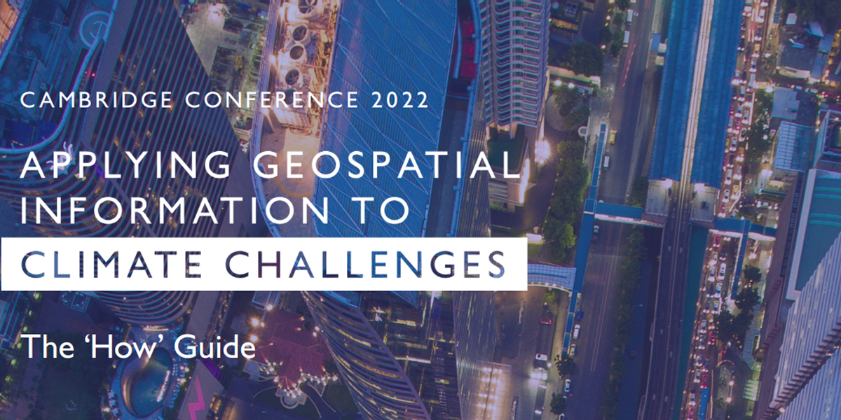
Following the recent Cambridge Conference, where geospatial leaders from across the globe explored the key role geospatial data can play in the climate challenge, Ordnance Survey and the global community published a report entitled the ‘How’ Guide - Applying Geospatial Information to Climate Challenges. Ordnance Survey’s David Henderson outlines its background and content
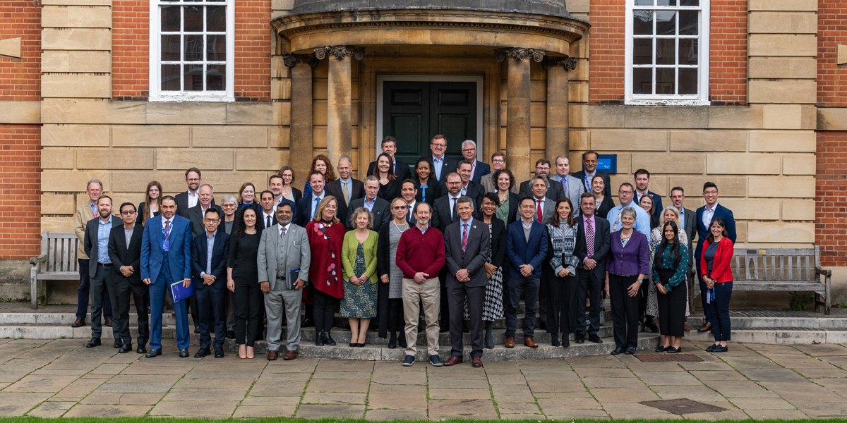
We were honoured to host geospatial leaders from around the world at this year’s Cambridge Conference, focusing on how we could help apply our data to the very real challenges presented by our changing climate.
Over 35 nations were represented in Oxford and on-line over three days in April to share experiences and common challenges. We took advantage of being together for the first time in five years, looking at this immense challenge with energy and purpose, sharing lessons that we have learnt from the pandemic.
As a community of National Mapping and Geospatial Agencies (NMGAs), we took the opportunity to step back from our day jobs and build on the shared commitment to address climate action that we made at Cambridge Conference in Conversation (CCiC) last autumn. That CCiC statement paper set out recommendations for both our governments and ourselves as NMGAs, and was used during the conversations at COP26 in Glasgow.
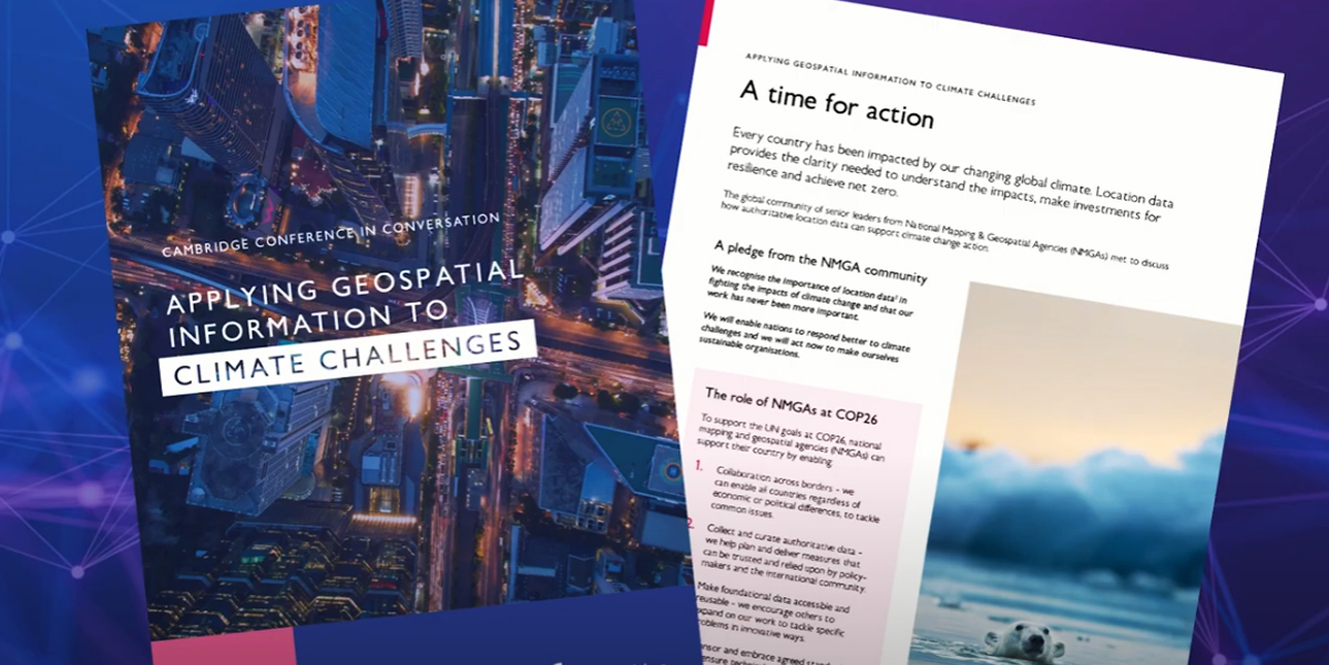
We wanted Cambridge Conference 2022 to focus our conversation on the practical challenges of implementing those CCiC recommendations. As a summary of our excellent discussions in April, a new ‘How’ Guide has been published to help encourage sustainable action; to make a real difference in how we tackle climate challenges using geospatial data. It was clear from our conversations that decision-makers need pragmatic solutions to the problems they are facing. This ‘How’ Guide should help us move past the ‘Why’ of needing to act to the practical steps that we can take to help achieve climate mitigation and adaption goals.
We’re delighted to share an overview of the guide’s main points below. Whether you’re an NMGA or not, there is much here that demonstrates how we need to collaborate, so please read the ‘How’ Guide in full and reach out to discuss how we can build solutions together.
1. Lead and inspire with practical solutions
In each of our countries, as geospatial experts and as senior leaders, we must take ownership of the problem and provide active direction – both for our organisations and for our governments. As well as supplying our data and services, we need to support our users and work together to effectively solve problems.
As a global community, we must continue to work together to propose solutions, and inspire others to apply geospatial capabilities in direct response to climate challenges.
2. Show why trusted location data matters
To be trusted and authoritative, we need to:
• Work relentlessly to understand what senior government officials are trying to achieve in the developing a climate response policy
• Champion and demonstrate how to use our geospatial data to effectively answer their questions
We know that often, our foundational geospatial data is not enough on its own to detect and mitigate against the impacts of climate change. We recognise the need to develop richer, analysis-ready data and identify where any gaps may be.
Increased levels of collaboration between the public and private sector is required. Improved communication between industry leaders and partners will unlock the greatest potential. Working together, we can achieve greater data harmonisation, interoperability, usability, and accessibility, streamlining the development and implementation of new solutions. And we can create a network of supportive voices, help expedite problem-solving, and start bringing end-user stories to the forefront. Together, we can tell the story of how our data makes that possible.
3. Connect data back to the real world
Our role as National Mapping and Geospatial Agencies is to reflect the changes and impacts of climate change in the real world to better inform our governments’ responses to climate challenges.
By building capability from within, collaborating with partners and focusing on outcomes, we must ensure that the data ecosystem around Net Zero reflects the tangible changes we are seeing in our societies and our environment every day. This will make planning our response more targeted and effective.
4. It’s all about the people
Our focus should not only be on the technical process and data capture, but also the real-world impacts of our work. We must understand the ways in which different aspects of the climate response are interconnected in the real world. So, we are committed to ensuring that the data and analysis we provide directly unlocks economic, social, and environmental value to government stakeholders and our citizens, conveying the impact of that value to real world outcomes involving real people.
Getting this story right will help drive great levels of geospatial teaching in the school curriculum, increased focus on attracting passionate people that want to make a difference and encourage diversity of thought. It helps make the case for geospatial information to act as a fundamental data set. One which other industries, partners, and public sector users can rely on, to provide global consistency in our climate response.
• Video from the event - Cambridge Conference 2022 - YouTube
David Henderson is Chief Geospatial Officer at Ordnance Survey headquartered in Southampton, Hampshire, UK
Subscribe to our newsletter
Stay updated on the latest technology, innovation product arrivals and exciting offers to your inbox.
Newsletter

