Share
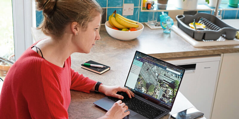
XMAP, the local government geographical information system (GIS), has been developed to underpin the UK government’s latest proposals for flexible working. If adopted, the initiative will give millions of workers the right to request flexible working, including remote working, from the moment they start a new position. XMAP, a service by Geoxphere, is a native cloud-based web application that can be accessed from any, web-enabled device, without plug-ins, bolt-ons or additional installations. This ensures users working remotely on laptops or in the field using tablets or mobile phones can access the geospatial data they need when they need it. www.xmap.geoxphere.com


