Hexagon announces HxGN NetWorks, rebrands utilities and communications offerings
19th July 2022
Hexagon announces HxGN NetWorks, rebrands utilities and communications offeringsThe creation, visualisation and use of three-dimensional representations of real or virtual world terrains, surfaces, elevations and built objects
Three-dimensional models are used increasingly in the public and private sectors and in academic research to visualise and analyse real or virtual world features and objects. This topic encompasses the creation of 3D geometric models from captured spatial data and their use in applications that include architecture, construction, engineering, urban planning, city and infrastructure modelling, transport and utility network planning and management, asset management, entertainment film production, video gaming and the geosciences. Additionally, the topic covers the creation and use of 3D models that make use of Virtual, Augmented and Mixed Reality techniques
19th July 2022
Hexagon announces HxGN NetWorks, rebrands utilities and communications offerings
19th July 2022
High precision 3D surveying of reservoir lakes
12th July 2022
RIEGL to Attend and Exhibit at Esri UC 202229th June 2022
Creaform Releases Tenth Version of Their VXelements 3D Measurement Software Platform
28th June 2022
Bentley Systems Recognized among the 50 Most Community-minded Businesses in the Greater Philadelphia Region
27th June 2022
Presagis Extends 3D Tiles Next Workflow into Esri ArcGIS Pro10th June 2022
PointFuse revolutionizes reality capture deliverables with free new Plugin for Autodesk Revit9th June 2022
Automated Quality Control with Collaborative Robots: A Game Changer for Small and Medium Enterprises
8th June 2022
Winning Students in Bentley Education’s Digital Twin Design Challenge Reimagine Apartment Living31st May 2022
This Jubilee Weekend: five London landmarks as you’ve never seen them before27th May 2022
Fugro’s lidar Geo-data supports OPW’s Irish coastal resilience strategies
20th May 2022
Colourisation and immersive walkthroughs among major GeoSLAM updates
10th May 2022
The new Leica Pegasus TRK makes mobile mapping smart, autonomous and easy9th May 2022
Ecopia AI and Airbus Expand Partnership to Enable Global 3D Vector Mapping3rd May 2022
Digital Twin pioneer Cityzenith highlighted in pivotal Ernst & Young report on Metaverse opportunities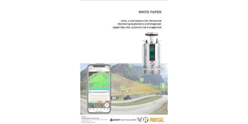
2nd May 2022
NEW White Paper: RIEGL V-Line Scanners for Permanent Monitoring Applications and Integration Capabilities into Customers Risk Management
26th April 2022
OGC Seeks Public Comment on update to 3D Tiles Community Standard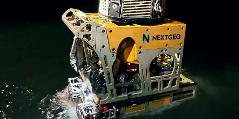
14th April 2022
NextGeo selected PanGeo SBI for further survey on Hollandse Kust West Beta (HKWb) routes for TenneT TSO12th April 2022
Trimble introduces mixed reality for construction layout with FieldLink MR
12th April 2022
Bentley Systems wins Company of the Year at 2021 Construction Computing Awards12th April 2022
EarthCam 4d brings construction digital twins to life11th April 2022
Bentley Systems Announces Acquisition of ADINA to Extend Nonlinear Simulation throughout Infrastructure Engineering1st April 2022
Local planning authority projects explore how best to digitise planning process
30th March 2022
SimActive Releases Correlator3D Version 9.1 with Productivity Enhancements25th March 2022
Bentley Education Announces New Student Contest: The Digital Twin Design Challenge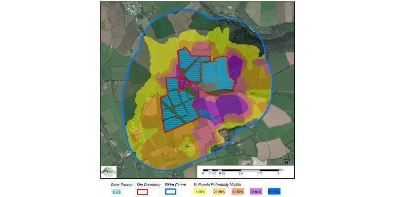
23rd March 2022
Bluesky 3D Models Help Macro Works Plan Milestone Solar Farm in Ireland
18th March 2022
Bentley Systems Recognized as the Microsoft Asia Pacific Region Social Impact – Sustainability Changemaker Partner of the Year9th March 2022
Bentley Systems Announces Availability of Life Cycle Assessment and Embodied Carbon Calculation Capabilities for Infrastructure Digital Twins
4th March 2022
Recordings Are Now Available For The Riegl Ultimate Lidar February 2022 Webinars
24th February 2022
Bluesky Adds Scottish Cities to MetroVista 3D City Line-up23rd February 2022
Geo Week 2022 Brings the Geospatial and Built Worlds Together In-Person, Exceeds Expectations23rd February 2022
Blue Marble Geographics Releases Global Mapper and Global Mapper Pro version 23.1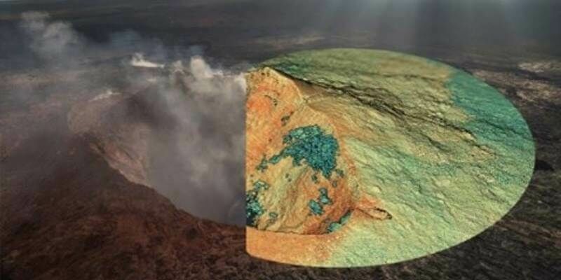
21st February 2022
MAPPS Geospatial Excellence Award Projects for spectacular NV5 and GEO1 projects
31st January 2022
Get the Inside Scoop and Join Us at GEO Week 202227th January 2022
EarthCam 4D Brings Construction Digital Twins to Life27th January 2022
Luminar to Enable Enhanced Safety and Autonomy on Mercedes-Benz Passenger Cars
23rd December 2021
Terrasolid maps the world in 3D – 3D PluraView monitors visualize in Stereo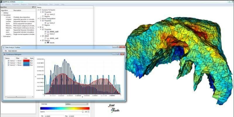
14th December 2021
Bentley Systems Announces Seequent’s Acquisition of Advanced Resources and Risk Technology (AR2Tech)
10th December 2021
Airbus Imagery and Elevation Data Now Available in Microsoft Azure Maps
2nd December 2021
Bentley Systems Announces the Year in Infrastructure 2021 Founders’ Honorees
19th November 2021
3D PluraView – stereoscopic desktop monitors for military use – shielded and zoned according to NATO standards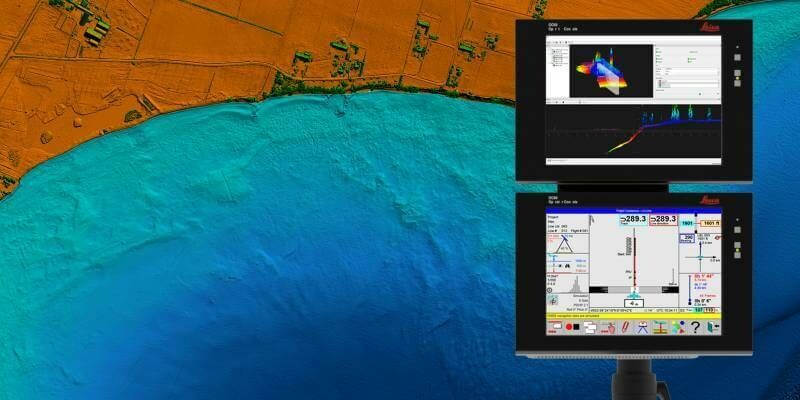
18th November 2021
Hexagon announces partnership with Airbus for near real-time airborne bathymetric LiDAR surveillance system
15th November 2021
XenomatiX wins global road achievement award2nd November 2021
Keynote Lineup Announced For Geo Week 20221st November 2021
Geo Week Award Ceremony Nominations Accepted Until Dec 126th October 2021
Tannery discovery redraws map of Fountains Abbey