Bentley Systems Partners with Google to Bring Powerful Geospatial Context and Capabilities to Infrastructure
10th October 2024
Bentley Systems Partners with Google to Bring Powerful Geospatial Context and Capabilities to InfrastructureThe creation, visualisation and use of three-dimensional representations of real or virtual world terrains, surfaces, elevations and built objects
Three-dimensional models are used increasingly in the public and private sectors and in academic research to visualise and analyse real or virtual world features and objects. This topic encompasses the creation of 3D geometric models from captured spatial data and their use in applications that include architecture, construction, engineering, urban planning, city and infrastructure modelling, transport and utility network planning and management, asset management, entertainment film production, video gaming and the geosciences. Additionally, the topic covers the creation and use of 3D models that make use of Virtual, Augmented and Mixed Reality techniques
10th October 2024
Bentley Systems Partners with Google to Bring Powerful Geospatial Context and Capabilities to Infrastructure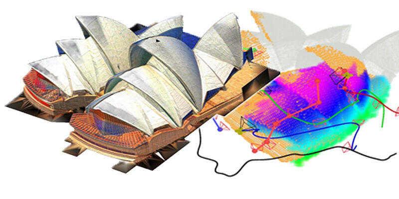
27th September 2024
LiDAR-based system allows unmanned aerial vehicle team to rapidly reconstruct environments26th September 2024
Hexagon announces the release of Intergraph Smart 3D Version 14 with new interface, digital twin integration and expanded API capabilities
23rd September 2024
RIEGL Presentations & Co-Exhibitors During INTERGEO 2024 – See you in Stuttgart!13th September 2024
Creaform to Unveil Innovative QC Technologies at EuroBLECH 2024
10th September 2024
Bentley Systems Acquires 3D Geospatial Company Cesium4th September 2024
Pix4D and Bad Elf collaborate to offer advanced 3D scanning for AEC professionals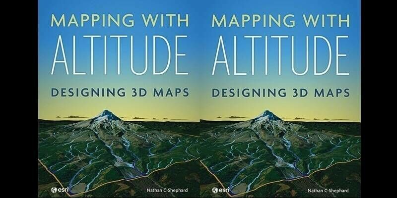
8th August 2024
Esri Releases New Book on Designing 3D Maps That Are Creative, Clear, and Informative
29th July 2024
e-GEOS to develop an Hydro-Meteo Digital Twin24th July 2024
STRYDE is celebrating multiple contract wins for its seismic data processing solutions
3rd July 2024
New imaging technique uses Earth's warped surface to reveal rocky interior2nd July 2024
Nicholas Cumins Takes Charge as CEO of Bentley Systems, Ushering in a New Era17th June 2024
Seequent launches free web app to help combat global shortage of earth scientists
24th April 2024
RIEGL Webinar Announcement: An Amazing LiDAR Expedition to Alcatraz – Through the Eyes of RIEGL Technology15th April 2024
Blackshark.ai SYNTH3D Terrain Data now available in VBS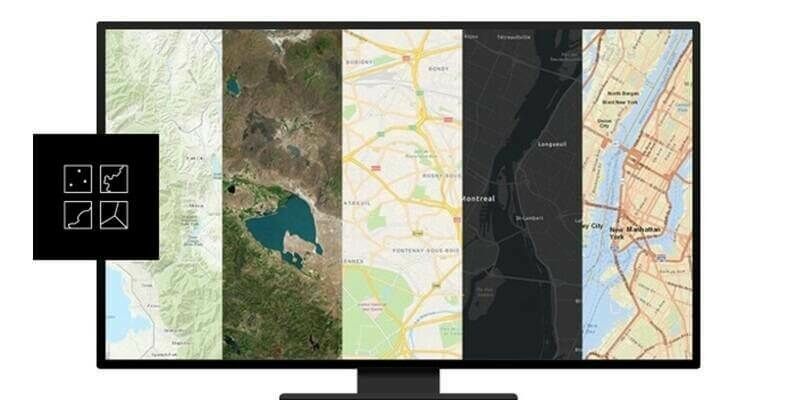
8th April 2024
Esri’s ArcGIS Basemaps Integrated into Autodesk Civil 3D and AutoCAD22nd March 2024
Marking its 40th Anniversary, Bentley Systems Announces CEO Transition Plan19th March 2024
Hexagon unveils CAESAR II Version 14: Enhancing piping analysis and hydrogen-readiness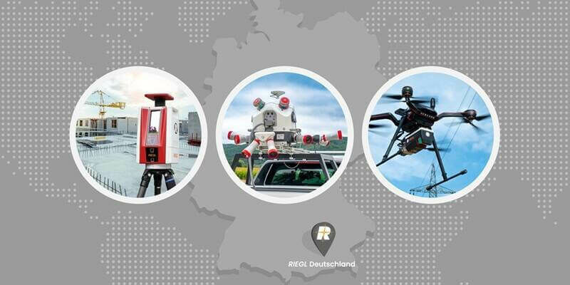
18th March 2024
RIEGL Announces the Opening of a New International Office in Munich, Germany
15th March 2024
Bentley Systems Issues Call for Nominations for the 2024 Going Digital Awards in Infrastructure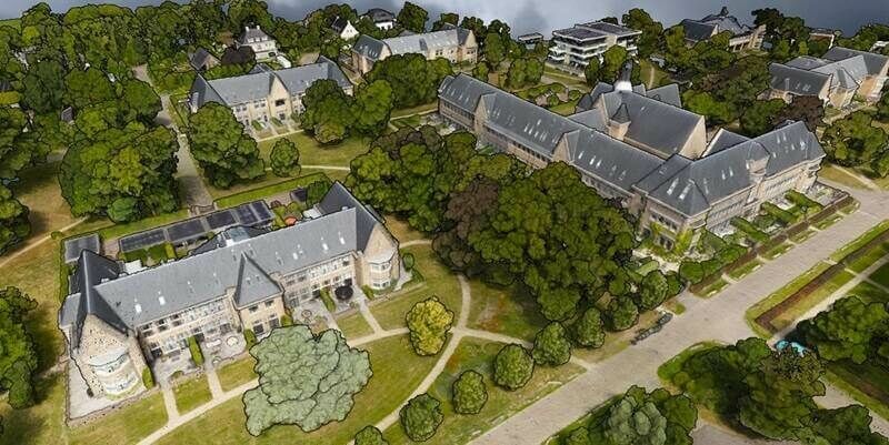
20th February 2024
SimActive Used for 3D Mapping from Oblique Cameras14th February 2024
Latest Surfer Mapping and 3D Visualization Package from Golden Software Gives Users Comprehensive View of Subsurface Data5th February 2024
Matterport’s Digital Twin Platform Helps VRPM Design the Future of Modern Workspaces25th January 2024
Intermap Wins Major Indonesian Mapping Contract22nd January 2024
Hexagon's R-evolution launches Green Cubes: a digital revolution for rainforest conservation
17th January 2024
Hexagon unveils PV Elite 26 with enhanced workflows, codes and connections for pressure vessel design, evaluation and analysis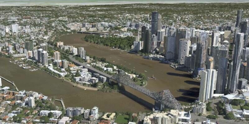
11th January 2024
Vexcel Announces 3D Models for Metro Areas Around the World
22nd December 2023
Orbbec releases Persee N1 camera-computer kit for 3D vision enthusiasts, powered by the NVIDIA Jetson platform1st December 2023
blackshark.ai and Eagle 3D Streaming Team Up28th November 2023
Getech Supports Natural Hydrogen Exploration in Eastern Europe21st November 2023
blackshark.ai Closes an Oversubscribed Extension to its Series A Round, totaling $35 Million, to Fast-Track Commercialization of its Unique GEOINT and 3D Mapping Technology17th November 2023
AI-powered, Blood-donation Room Monitoring Project Wins the 2023 Enactus Brazil and Bentley Systems iTwin4Good Challenge
3rd November 2023
bp Selects AssetWise Lifecycle Information Management and AssetWise Reliability as Standard for Information Management and Asset Integrity26th October 2023
Creaform Launches the New Truly Portable Metrology-Grade 3D Scanner for Large Parts HandySCAN 3D|MAX Series25th October 2023
Hexagon reaches heights with the launch of CADWorx Electrical & Instrumentation Design Suite20th October 2023
Geo Week Seeking Nominations for the 2024 Awards Celebration12th October 2023
Bentley Systems Recognizes the Year in Infrastructure 2023 as Groundbreaking for Infrastructure Intelligence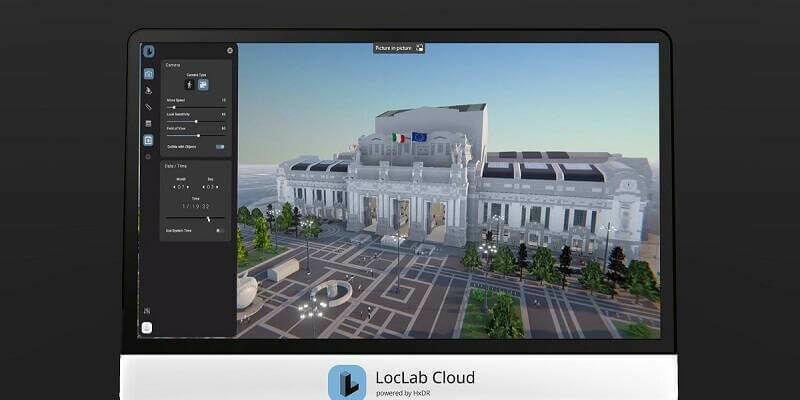
9th October 2023
LocLab makes digital twins more accessible with the launch of LocLab Cloud, powered by HxDR2nd October 2023
Infrastructure Projects in Europe, Middle East, and Africa Named as Finalists in Bentley Systems’ 2023 Going Digital Awards in Infrastructure20th September 2023
Hexagon Announces the Release of CADWorx 23 Plant Design Suite19th September 2023
MWH Treatment uses 3D Building Models from Bluesky to Drive Innovation in Water Sector
11th September 2023
Carlson Introduces STEM Video Game: Hydrology Engineer
11th September 2023
Nomoko Joins the Overture Maps Foundation
11th September 2023
‘First-of-its-kind’ mobile 3D mapping system will scan 2 million data points a second
11th September 2023
Tetra Tech Expands Their RIEGL Mobile LiDAR Fleet
11th September 2023
Demonstrations Of The Riegl VZ-600i in Taipei and Hong Kong