Bentley Systems expands alliance with Microsoft to accelerate infrastructure digital twin innovations
21st October 2020
Bentley Systems expands alliance with Microsoft to accelerate infrastructure digital twin innovationsThe creation, visualisation and use of three-dimensional representations of real or virtual world terrains, surfaces, elevations and built objects
Three-dimensional models are used increasingly in the public and private sectors and in academic research to visualise and analyse real or virtual world features and objects. This topic encompasses the creation of 3D geometric models from captured spatial data and their use in applications that include architecture, construction, engineering, urban planning, city and infrastructure modelling, transport and utility network planning and management, asset management, entertainment film production, video gaming and the geosciences. Additionally, the topic covers the creation and use of 3D models that make use of Virtual, Augmented and Mixed Reality techniques
21st October 2020
Bentley Systems expands alliance with Microsoft to accelerate infrastructure digital twin innovations19th October 2020
Shell Deepwater Selects Bentley’s iTwin Platform for Project Delivery9th October 2020
Bentley Systems Announces Finalists in the Year in Infrastructure 2020 Awards Program7th October 2020
Recordings are Now Available for the RIEGL Ultimate LiDAR September Webinar Series2nd October 2020
RIEGL RiCAST- “VMX: 10 Years of Success”: A Closer Look at Getting the Work Done with the VMQ-1HA30th September 2020
CGG GeoSoftware Launches Interactive Well Path Planning Technology29th September 2020
Bentley Systems Announces Pricing of Initial Public Offering29th September 2020
Creaform announces new automated dimensional quality control solutions25th September 2020
3D Surveying Of The St. Stephen’s Cathedral Vienna24th September 2020
Fragmentation analysis leads updates in Maptek PointStudio 202021st September 2020
HERE offers developers and data scientists direct access to rich geospatial data21st September 2020
The British Merchants Federation joins the UK BIM Alliance Affiliate Programme18th September 2020
Bluesky 3D Building Models Provide Sense of Place for London Design Agency
17th September 2020
FARO Hires Two Industry Veterans To Lead Its Global Hardware And Software R&D Teams17th September 2020
Seiler Design Solutions Announces Partnership with PointCab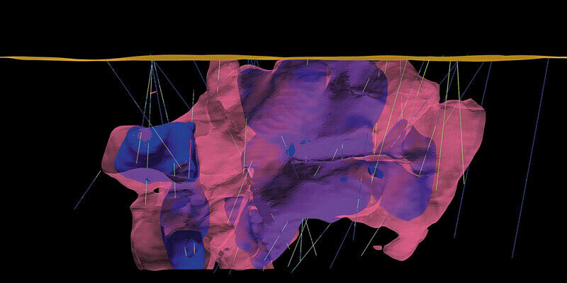
16th September 2020
Enhanced geology and mine design in Vulcan 2020
16th September 2020
Riegl’s Market Presence Grows In Latin America16th September 2020
MGISS Reveals Underground Highway Assets for Sir Robert McAlpine10th September 2020
Golden Software Improves Surfer File Handling for Faster Mapping
10th September 2020
Esri Acquires nFrames to Enhance Its 3D Capabilities8th September 2020
Bluesky Laser Maps Quantock Hills to Reveal Archaeological Past7th September 2020
Kongsberg Geospatial integrates the World's Highest Resolution Globally Available 3D Terrain Data with UAS Ground Control Station4th September 2020
Rail Straightness Inspection after 3D Scan Demonstration
4th September 2020
Applanix Introduces Next Generation OEM Solution for Direct Georeferencing of Airborne Sensor Data2nd September 2020
Hexagon Selected for Innovate UK Rail Infrastructure Artificial Intelligence Project1st September 2020
RIEGL’s Ultimate LiDAR Webinar Series and More: September 20201st September 2020
Bentley Institute Press Announces Availability of Infrastructure Digital Twins: A Leadership Short Course – Volume 1: Getting to Know iTwins
31st August 2020
23rd ICA Workshop on Map Generalisation and Multiple Representation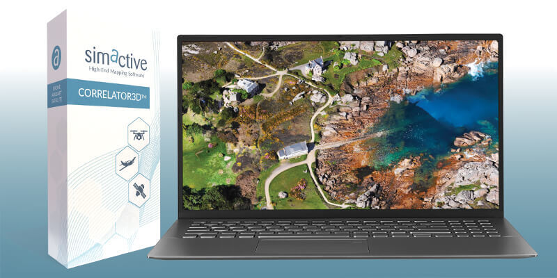
28th August 2020
How to Generate a 3D Model with Correlator3D27th August 2020
Ars Electronica Festival 2020: Take a Virtual Interactive Tour of Vienna's St. Stephen's Cathedral with RIEGL 3D Data
26th August 2020
Cityscape and Bluesky MetroVista 3D Models Bring Virtual Reality to the Property Sector26th August 2020
iXblue, Woolpert partner to deliver LiDAR mapping services to New Zealand Councils26th August 2020
Leica Geosystems BLK247 Wins Security Industry Association’s Best New Product Award26th August 2020
Riegl Usa Construction Update Website, Ultimatelidar.Com, Is Live25th August 2020
ZEB Go Launches A New Era For Mobile SLAM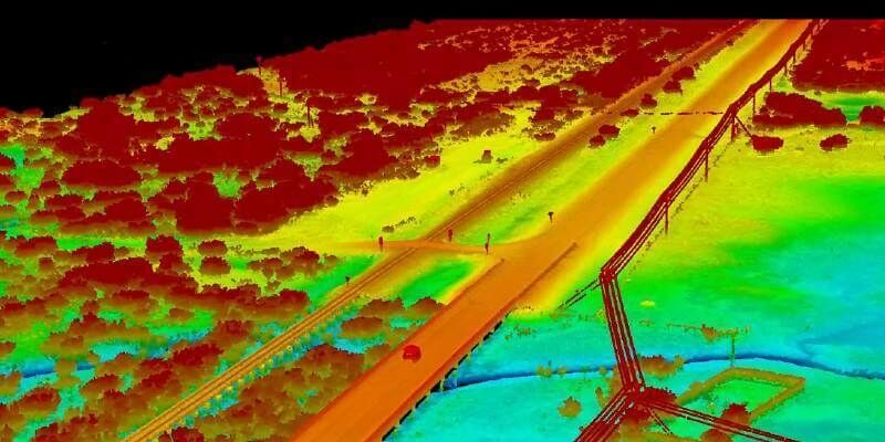

18th August 2020
Managing authoritative data in both 2D and 3D at 3DGeoInfo 2020 conference7th August 2020
The World's Largest Dinosaur - Immortalised in Digital 3D6th August 2020
The GEOINT 2020 Innovation Tradecraft Competition Has a Winner