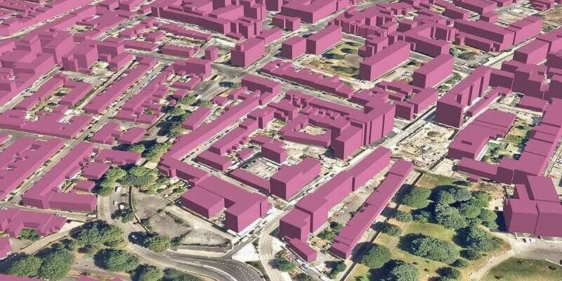
Bluesky 3D Imagery Brings Global Warming Sea Level Rises to Life
7th September 2023
Bluesky 3D Imagery Brings Global Warming Sea Level Rises to LifeThe creation, visualisation and use of three-dimensional representations of real or virtual world terrains, surfaces, elevations and built objects
Three-dimensional models are used increasingly in the public and private sectors and in academic research to visualise and analyse real or virtual world features and objects. This topic encompasses the creation of 3D geometric models from captured spatial data and their use in applications that include architecture, construction, engineering, urban planning, city and infrastructure modelling, transport and utility network planning and management, asset management, entertainment film production, video gaming and the geosciences. Additionally, the topic covers the creation and use of 3D models that make use of Virtual, Augmented and Mixed Reality techniques
7th September 2023
Bluesky 3D Imagery Brings Global Warming Sea Level Rises to Life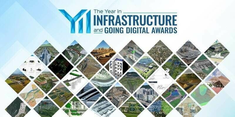
31st August 2023
Bentley Systems Announces the Finalists of the 2023 Going Digital Awards in Infrastructure15th August 2023
Bentley Systems’ iTwin Ventures Acquires Blyncsy, Breakthrough Innovator in AI Services for Transportation Operations and Maintenance8th August 2023
Khronos Launches ANARI 1.0 as the Industry’s First Cross-Platform 3D Rendering Engine Open Standard API28th July 2023
Vision Engineering launches new version of its bestselling Mantis optical stereo microscopes28th July 2023
Topcon launches easy-to-use Digital Layout software for fast-paced building construction industry28th July 2023
Topodrone to unveil a new lightweight 360° LiDAR model range28th July 2023
GeoAlert releases new region-specific Building footprints AI models28th July 2023
Riegl LiDAR Technology for the Digital Twin Lab of Joanneum Research7th July 2023
Bluesky Building Models Aid Planning for World’s Largest Cultural Hub27th June 2023
Bentley Systems Announces New Capabilities for Carbon Assessment in iTwin Experience21st June 2023
Ground-breaking NMIS facility paving the way for the future of manufacturing in Scotland19th June 2023
Outsight partners with Indra to accelerate the deployment of 3D LiDAR solutions in smart transport infrastructures
14th June 2023
Hexagon launches Reality Cloud Studio to bring automated digital reality to the cloud14th June 2023
Creaform launches latest version of VXintegrity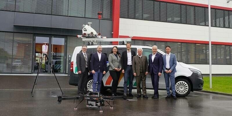
9th June 2023
RIEGL LiDAR Technology for the Digital Twin Lab of JOANNEUM RESEARCH
22nd May 2023
Ecopia Partners with NextNav to Enable Emergency Response Teams with 3D Visualizations11th May 2023
Hexagon to create Spain’s first digital twin for Campo de Cartagena3rd May 2023
Bentley Systems Announces Two Colleagues Become Fellows with Professional Engineering Associations in the U.K.
26th April 2023
Bluesky and Ecopia Partner to Create First 3D Map of Ireland25th April 2023
Engineers Without Borders International Launches Strategic Partnership with Bentley Systems
16th April 2023
Leica Geosystems and Xwatch Safety Solutions pioneer 3D Avoidance Zone system for construction sites14th April 2023
Golden Software Makes Grapher Package Faster to Learn, Easier to Use14th April 2023
WSB and Bentley Systems Offer New Digital Construction Management Service Based on SYNCHRO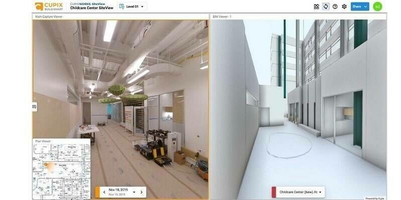
12th April 2023
Cupix Adds CupixWorks to Bentley’s Powered by iTwin Program5th April 2023
Seequent unveils SLOPE3D: Advanced stability analysis tool to help engineers design safer slopes22nd March 2023
Bentley Systems Announces Infrastructure Projects Achieve Measurable Results with LumenRT for NVIDIA Omniverse, Powered by iTwin14th March 2023
WSB and Bentley Systems Offer New Digital Construction Management Service Based on SYNCHRO
1st March 2023
Presagis Launches Cloud-Based Velocity 5D Digital Twin Production Platform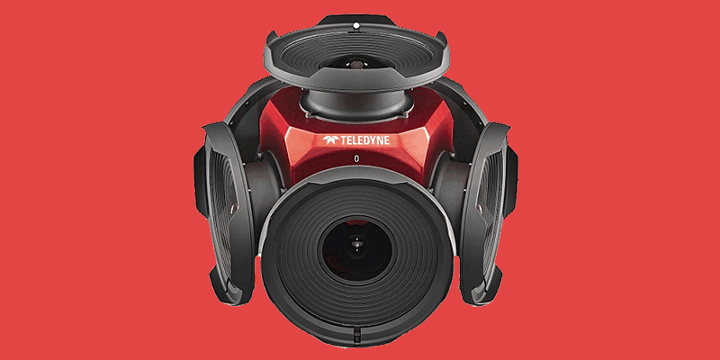
1st March 2023
Teledyne Announces New Ladybug6 Cameras for High Accuracy 360-Degree Spherical Image Capture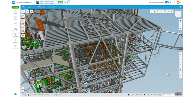
1st March 2023
Bentley Systems Announces Bentley Infrastructure Cloud, Powered by Itwin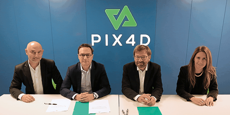
1st March 2023
Axians France Enters Into a Partnership With Pix4D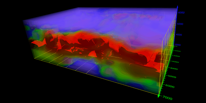
1st March 2023
Golden Software Adds Powerful New 3D Subsurface Visualization Functionality to Surfer Surface Mapping Package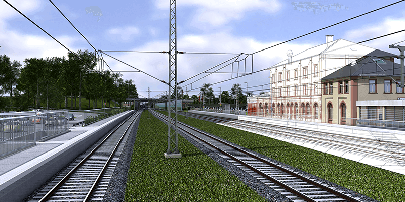
1st March 2023
Hexagon Adds Speed, Scalability and Automation to Digital Twin Creation With the Acquisition of LocLab
1st March 2023
Bentley Systems Announces Retirement of Founder Keith Bentley and Promotion of Julien Moutte to Chief Technology Officer28th February 2023
Hexagon Unveils New Release of Structural Engineering Software GT STRUDL27th February 2023
Bentley Systems Announces Acquisition of EasyPower, Power Systems Engineering Software Provider
14th February 2023
Bluesky Geospatial Launches MetroVista 3D Aerial Mapping Program in U.S.13th February 2023
Creaform Opens New Repair Center to Cover the EMEA Region
9th February 2023
Geo Week features sold-out exhibit floor and 2,500+ registrants8th February 2023
Esri Releases New ArcGIS Reality Software to Capture the World in 3D