
Devon and Somerset Fire and Rescue Service purchase GIS modelling software and services from Cadcorp
21st May 2021
Devon and Somerset Fire and Rescue Service purchase GIS modelling software and services from Cadcorp
21st May 2021
Devon and Somerset Fire and Rescue Service purchase GIS modelling software and services from Cadcorp14th May 2021
British Red Cross turns to digital mapping to help meet increased demand for support due to Covid-19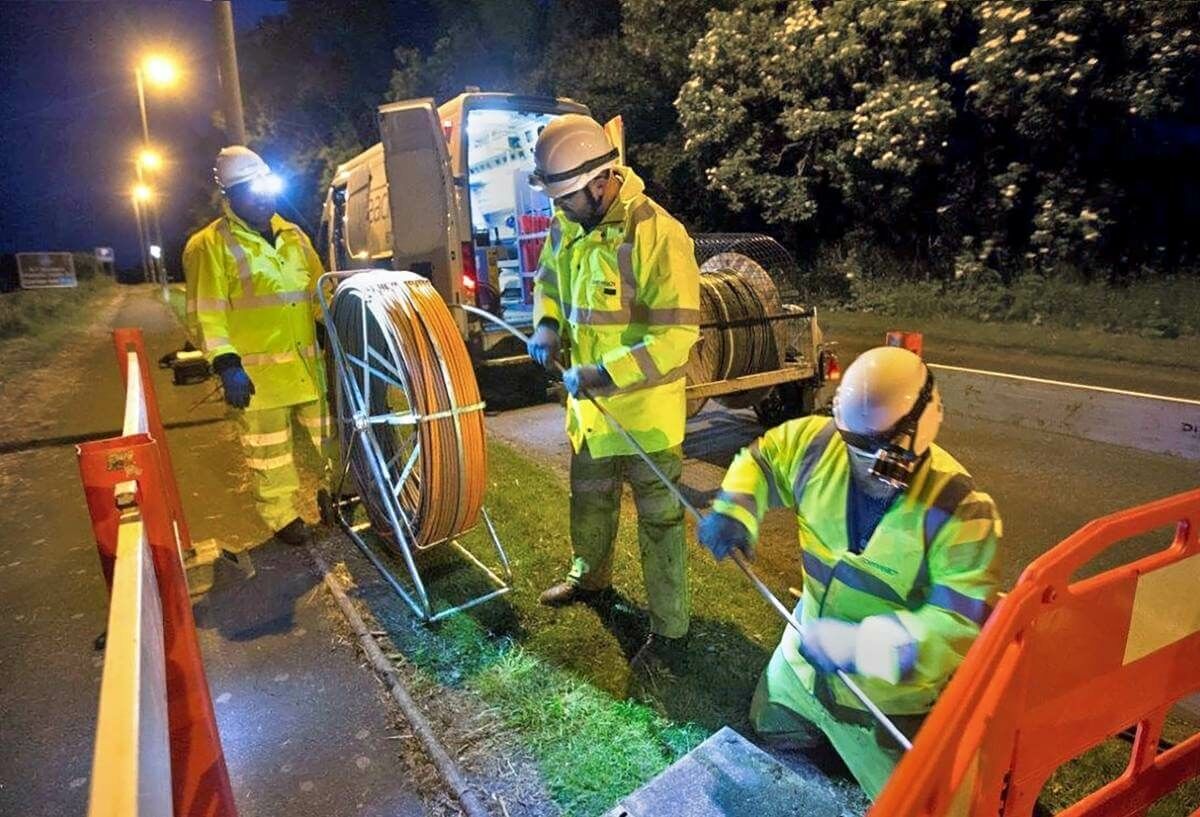
14th May 2021
thinkWhere Mapping Portal Helps Scotland Achieve 100 percent Superfast Broadband Coverage
13th May 2021
KOREC gains Esri Silver Tier Business Partner status

29th April 2021
1Spatial announce the release of 1DataGateway 2.3.0
29th April 2021
MGISS Announces Office Move to Accommodate Accelerated Growth29th April 2021
Cadcorp SIS 9 service release widens access to addressing
29th April 2021
Automated harmony or destined for discord?
28th April 2021
USGIF Board of Directors Appoints New Chair
22nd April 2021
CGG’s Smart Data Solutions Business Optimizes Performance of PleXus Data Management System
21st April 2021
10% Of Flights Donated To The Woodland Trust20th April 2021
What Is GeoIgnite And What Does It Hold In 2021 For Canada’s Geospatial Industry?
14th April 2021
Underground Utility Mapping Workshop with Eos Locate™ for ArcGIS Field Maps13th April 2021
What Is GeoIgnite And What Does It Hold In 2021 For Canada’s Geospatial Industry?8th April 2021
Highways asset management specialist Symology wins global Esri partner award
6th April 2021
1Spatial Multiyear contract with Department for Environment, Food and Rural Affairs (Defra)
6th April 2021
Call for papers and open registration announcement
30th March 2021
1Spatial announce partnership with Placekey ahead of UK launch29th March 2021
One Last Chance to See It All : A Global Stage for Geo Innovation
26th March 2021
How we deliver continuous data improvement
22nd March 2021
The Virtual Exhibition in the Field of Geospatial Information The Geospatial Information Roadshow 2021
22nd March 2021
1Spatial awarded prestigious Esri Partner Network award
16th March 2021
Cadcorp SIS 9 service release widens access to addressing2nd March 2021
Key UX practices in building geospatial applications2nd March 2021
Leicestershire Fire and Rescue Service introduces FireMap to share incident, water and risk information2nd March 2021
IQGeo announces the acquisition of OSPInsight2nd March 2021
1Spatial Receives Esri’s Utility Network Management Specialty
2nd March 2021
USGIF Appoints New Vice President of Programs
2nd March 2021
1Spatial Awarded Safe Software’s Partner Award of Excellence
2nd March 2021
MGISS Announces Office Move to Accommodate Accelerated Growth1st March 2021
GIS Analytics Server of U.S. Federal Statistical Data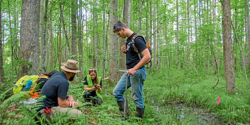
1st March 2021
Ecobot joins Trimble’s GIS Partner Program to empower environmental regulatory reporting
25th February 2021
Maptek 1981-2021 - A story where innovation meets tradition23rd February 2021
Explore the Latest in Geospatial and GIS Technology During the AAG 2021 Annual Meeting
19th February 2021
National Energy System Map contract awarded to 1Spatial and Ordnance Survey by The Energy Networks Association
12th February 2021
1Spatial Receives Esri’s Utility Network Management Specialty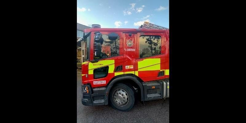
11th February 2021
Leicestershire Fire and Rescue Service introduces FireMap to share incident, water and risk information
9th February 2021
Northern Gas Networks awards contract to 1Spatial and Esri UK
3rd February 2021
Improving Access to Better Location Data with Claire Milverton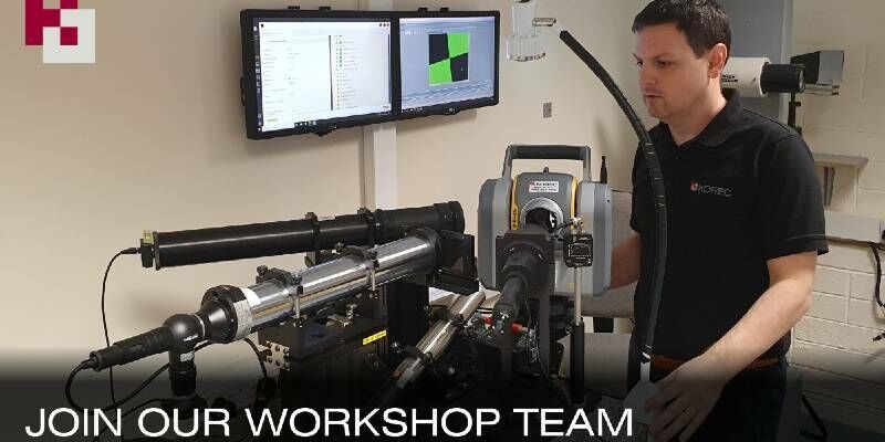
1st February 2021
Latest Job from KOREC GROUP - Service Technician