Terrestrial Surveying
KOREC - Combining Technologies
Related Videos

RIEGL VZ-i Series Kinematic App: Mobilize your terrestrial laser scanner!
11th May 2025
RIEGL VZ-i Series Kinematic App: Mobilize your terrestrial laser scanner!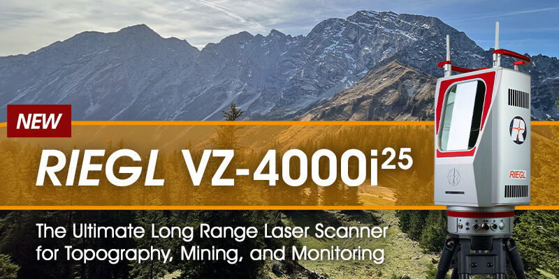
RIEGL VZ-4000i-25: The Ultimate Long Range Scanner for Topography, Mining & Monitoring
14th April 2025
RIEGL VZ-4000i-25: The Ultimate Long Range Scanner for Topography, Mining & Monitoring
RIEGL VZ-600i: High Speed Laser Scanning for Professionals
12th October 2023
RIEGL VZ-600i: High Speed Laser Scanning for Professionals