CGG Exits from Seabed Data Acquisition Business
6th January 2020
CGG Exits from Seabed Data Acquisition BusinessThe 2D and 3D measurement of points, distances and angles of features and objects on the Earth’s surface. See also Surveying Instrumentation topic. This topic covers the science and techniques that govern the 2D and 3D measurement of points, distances and angles of natural and man-made features and objects on the Earth’s surface. These measurements are acquired for a wide range of practical applications in construction, engineering, land use planning, mapmaking and cadastral projects, See also Surveying Instrumentation topic for the various tools employed to acquire survey measurements.
6th January 2020
CGG Exits from Seabed Data Acquisition Business20th December 2019
TDI-Brooks Partners With Geotek UK to Deliver Expanded Services17th December 2019
Inaugural European Aerial Survey Industry Association Event Attracts Worldwide Audience8th December 2019
Trimble Acquires Can-Net and iBase Networks6th December 2019
GSSI Highlights GS Series for geophysical and environmental surveys4th December 2019
MGISS Appoints Mike Cooper to Expand Geospatial Business
28th November 2019
Bluesky Launches MetroVista 3D City Mapping Service in US
21st November 2019
Pointfuse Launches Simple BIM Solution for Facilities Management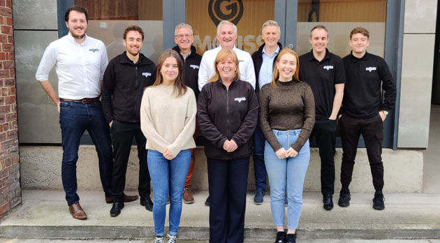
21st November 2019
MGISS Ranked Fourth in North West Tech 5018th November 2019
MAPPS Celebrates 20 Years of National GIS Day on Capitol Hill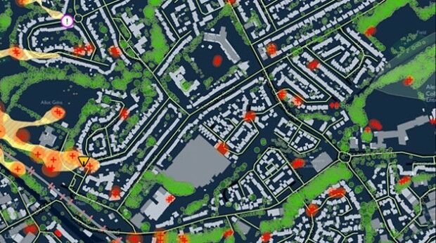
11th November 2019
Terrafirma adopts Bluesky Tree Map for Subsidence Hazard Assessment6th November 2019
New Trimble R12 GNSS Receiver Boosts Surveying Performance
6th November 2019
Verified Photomontages Achieves Best Accuracy with Spectra Geospatial SP805th November 2019
Top Survey Application, “GIS Surveyor” Going Premium
23rd October 2019
Fugro Enters the South Korean Offshore Wind Farm Market
22nd October 2019
TDI-Brooks International, Inc. Hires Mr. Richard Byno as Director of Marine Operations21st October 2019
GAP Survey Equipment Hire Delivers with BigChange Mobile Tech17th October 2019
Gaist recognised for technical innovation at esteemed INCA awards
15th October 2019
Pointfuse New Scan 2 BIM Workflow at Digital Construction Week15th October 2019
thinkWhere Releases New groundMapper Web Mapping Tool14th October 2019
Topcon Positioning and BIA Africa Set to Service West Africa_72dpi.jpg)
2nd October 2019
Leica Geosystems wins innovation award in 2019 Mondial du Bâtiment27th September 2019
Streetwise Services Improve Traffic Surveys with thinkWhere’s Online Maps25th September 2019
Juniper Systems Announces New Geode GNS2 Sub-meter GPS Receiver
25th September 2019
Bluesky Appoints Jamieson to Drive Innovation in Aerial Mapping20th September 2019
Hemisphere GNSS Announces Next-Generation S621 GNSS Survey Smart Antenna18th September 2019
Trimble Pivot Platform and Alloy GNSS Reference Receiver Now Support BeiDou Generation III Signals17th September 2019
New Topcon technology offerings for BIM introduced at INTERGEO
16th September 2019
Bluesky Launches International MetroVista City Mapping Service at Intergeo16th September 2019
Trimble Acquires 3LOG Systems to Expand its Forestry Management Software Solutions16th September 2019
GeoMax demonstrates its unrivalled GNSS portfolio at Intergeo (hall3, stand F3.043)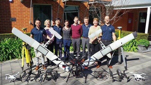
9th September 2019
Terra Drone expands to Australia with investment in leading local UAV services provider26th August 2019
Michael Horne Joins Swift Navigation as Executive Vice President of Worldwide Sales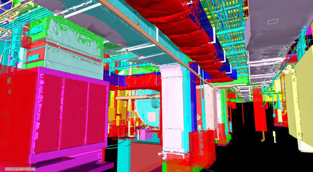
22nd August 2019
Pointfuse Laser Scanning Software Transforms Digital Construction Workflows
22nd August 2019
Bluesky LiDAR Survey Helps Dublin Airport Reduce Risk of Flooding22nd August 2019
Trimble Introduces New Compact-Sized Tablet for Geospatial Field Applications22nd August 2019
OGC and SSSI Working Together to Enhance the Capacity of Spatial Professionals Across Australia
13th August 2019
Okeanus Enhances Hydrographic Survey Equipment Offering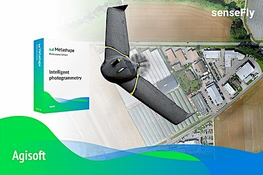
25th July 2019
Introducing the senseFly eBee X with Agisoft Metashape
23rd July 2019
QuickSwitch® Recognised for Excellence in Sensors Innovation21st July 2019
Surveying Firm Highly Commended at Prestigious National Construction Awards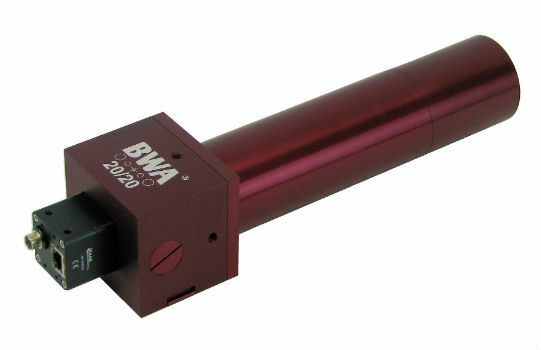
19th July 2019
BWA-CAM 20/20 - The World‘s First ‘Plug-and-Play‘ Solution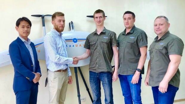
19th July 2019
Japan’s Terra Drone gains footing in Central Asia15th July 2019
RIEGL Invests in New Office and Production Facilities!
13th July 2019
GSSI Receives Presidential Award for Exports
12th July 2019
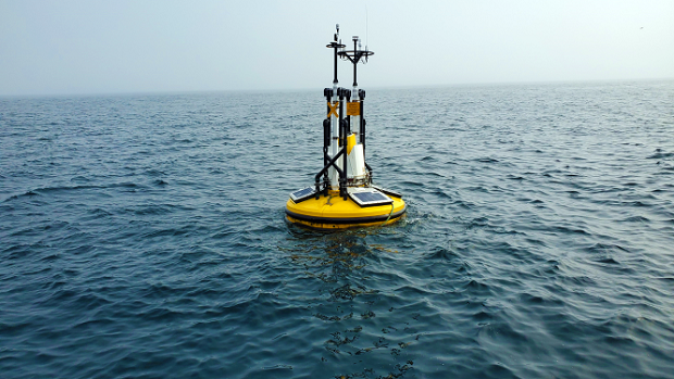
Fugro performs first North Sea remote heading control operation