Share
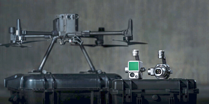
DJI, a provider of civilian drones and aerial imaging technology, unveiled two new payload solutions for its flagship commercial drone platform Matrice 300 RTK, destined to serve the most demanding aerial surveying missions. The DJI Zenmuse P1 and DJI Zenmuse L1 are set to be game-changers for the industry, bringing more efficiency and new perspectives at an affordable cost without compromising the quality and accuracy of the data collected for precise aerial inspections and data collection missions. The Zenmuse L1 is DJI’s first Lidar solution for aerial surveying, and a major breakthrough in democratizing Lidar technology by being easy to use and accessible. www.dij.com


