Share
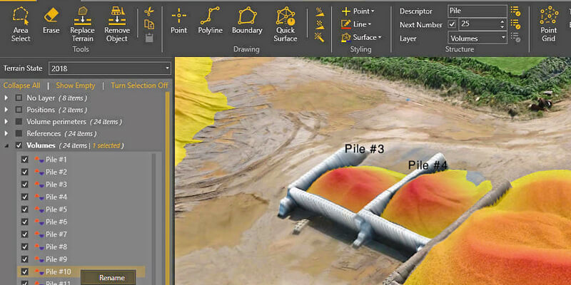
In release 7.4, Virtual Surveyor has added new functionality to the free pricing level of its popular drone surveying software. The “Valley” plan of Virtual Surveyor now allows users to create engineering CAD models from drone orthophotos and/or LiDAR data sets. Available under three pricing plans, the Virtual Surveyor software enables surveyors to derive topographic information from drone data that engineers need for construction, mining, and other excavation projects. The software has become popular among surveyors and engineers because its tools allow them to work effectively with drone data. Virtual Surveyor generates an interactive onscreen environment where the surveyor selects survey points and breaklines to create a highly accurate lightweight CAD model for further use in engineering design packages. www.virtual-surveyor.com


