Share
Mobile GIS Services (MGISS) has equipped a team of urban surveyors with new satellite positioning systems to accurately map assets and features such as signage, lighting and landscape features for example flowerbeds.
With highly accurate surveying often problematic in urban environments, MGISS worked with Occam’s Razor Consulting Limited (ORCL), a specialist in data capture for landowners, to achieve centimetre accurate asset mapping for open spaces and park management.
ORCL works for local authorities and housing associations and due to the blocking effects of tall buildings and trees, its existing equipment was not capable of achieving the required levels of accuracy. The package of technology supplied by MGISS includes latest Leica smart antennas coupled with data management and mapping software.
“We were interested in very high performance equipment capable of achieving centimetre accuracy in difficult urban canyon conditions and under dense tree canopies,” commented David Brown, Managing Director of Occam’s Razor Consulting. “I had worked with the MGISS team before so was confident in their expert advice and field experience when specifying a solution.”
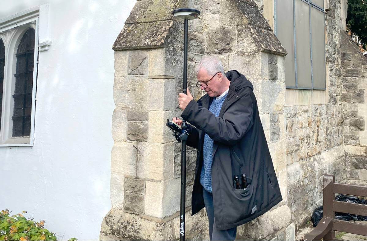
ORCL had previously been using the Leica GG03 antennas with Leica rugged tablet computer computers. Following an evaluation of existing workflows and required functionality MGISS recommended the latest Leica Smart Antenna the GG04 plus. Capable of collecting high accuracy geospatial data, the system combines cutting edge GNSS (Global Navigation Satellite System) technology supporting all the latest satellite constellations. The MGISS prescribed GG04 plus is also compatible with a wide range of smart devices, as well as the controllers already used by ORCL.
“The new MGISS solution has slotted straight into our existing workflows without any issues at all and is a clear improvement on our previous system,” continued Brown. “The devices track the newer Galileo constellation as well as the more established American and Russian satellites reaching centimetre accuracy quickly and holding the signal well overcoming the challenges of tall buildings and trees.”
ORCL is operating its new smart antenna with a Leica controller running Zeno Field (an OEM version of ArcPad 10) software. In addition to the ArcPad GIS (Geographical Information System) functionality Zeno Field provides GNSS raw data logging, easy handling of GNSS configurations, feature accuracy management and an automated workflow between the field and office. ORCL uses Laser Technology TruPulse rangefinders and Leica Smartnet for its RTK service, all specified and supplied by MGISS. Working with MGISS ORCL will monitor its current workflows as the software develops to support LTI laser rangefinders and will continue to explore new applications.
ORCL provides a range of data collection, management and exploitation services to landowners with particular experience in parks and ground maintenance. The name Occam’s Razor comes from a principle in philosophy which assumes the most likely explanation for an occurrence is the one with the fewest assumptions for example ‘when you hear hoof beats, look for horses, not zebras’.
Subscribe to our newsletter
Stay updated on the latest technology, innovation product arrivals and exciting offers to your inbox.
Newsletter

