Photogrammetry
Don't miss a beat, sign up to our newsletter

SimActive Webinar: How to Save Time and Money on Photogrammetry Projects
6th November 2023
SimActive Webinar: How to Save Time and Money on Photogrammetry Projects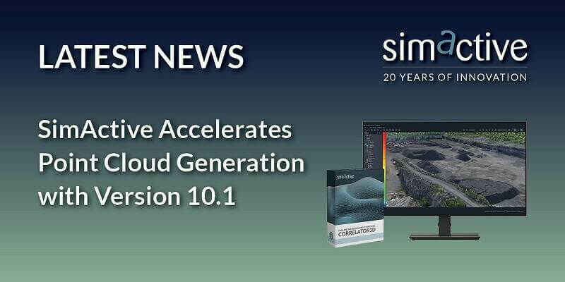
SimActive Accelerates Point Cloud Generation with Version 10.1
16th October 2023
SimActive Accelerates Point Cloud Generation with Version 10.1
Virtual Surveyor Unveils Photogrammetry App in Major New Release of Smart Drone Survey Software
25th September 2023
Virtual Surveyor Unveils Photogrammetry App in Major New Release of Smart Drone Survey Software
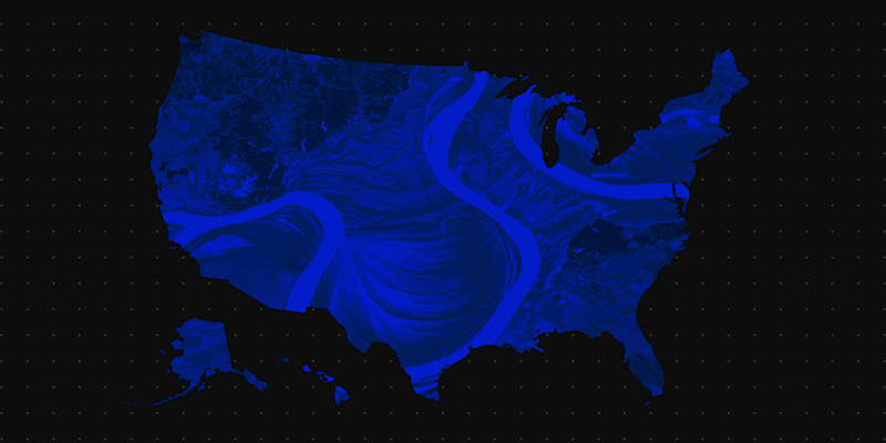
Fathom revolutionizes flood risk intelligence with new US Flood Map
11th September 2023
Fathom revolutionizes flood risk intelligence with new US Flood Map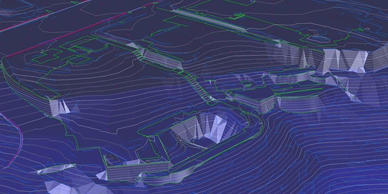
DataSight Releases Breakline Builder 4.0
11th September 2023
DataSight Releases Breakline Builder 4.0
SimActive Used with Phase One cameras Cameras for Precise Photogrammetry
11th September 2023
SimActive Used with Phase One cameras Cameras for Precise Photogrammetry
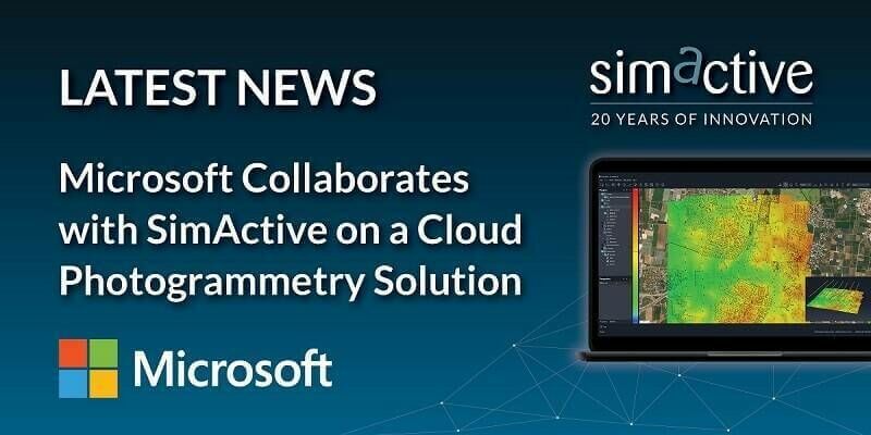
Microsoft Collaborates with SimActive on a Cloud Photogrammetry Solution
11th September 2023
Microsoft Collaborates with SimActive on a Cloud Photogrammetry Solution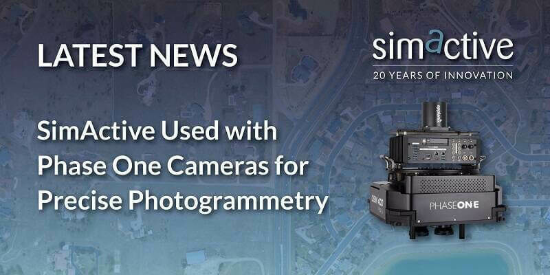
SimActive Used with Phase One Cameras for Precise Photogrammetry
16th August 2023
SimActive Used with Phase One Cameras for Precise Photogrammetry


SimActive Software Used for Meeting Accuracy Standards
24th May 2023
SimActive Software Used for Meeting Accuracy Standards
How To Meet Photogrammetric Accuracy Standards
15th May 2023
How To Meet Photogrammetric Accuracy Standards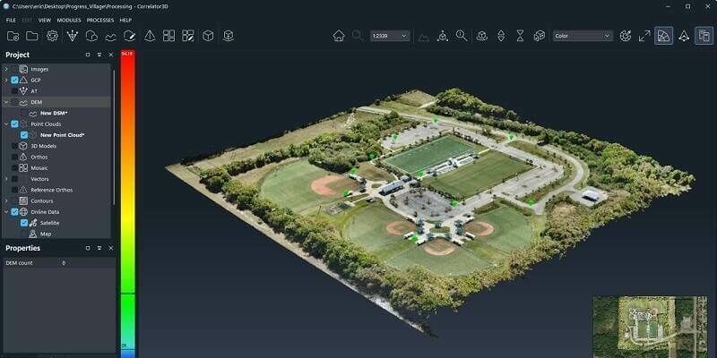
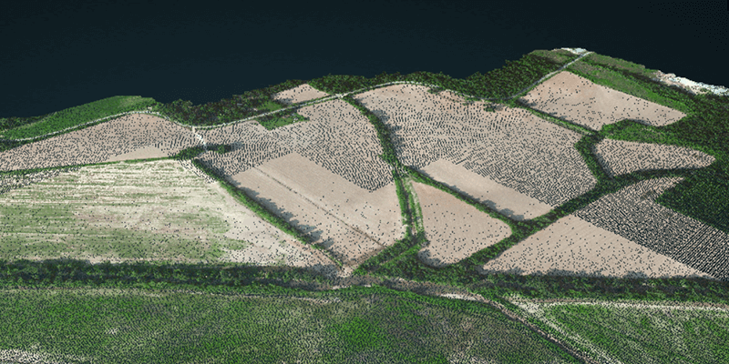
SimActive Releases Correlator3D Version 10 with High Density Point Cloud Generation
27th April 2023
SimActive Releases Correlator3D Version 10 with High Density Point Cloud Generation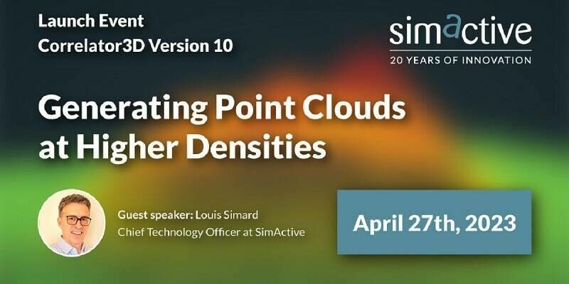
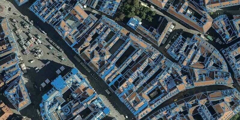
Eurosense relies on Vexcel Imaging and RhinoTerrain to generate watertight and textured LOD 2 city models
16th March 2023
Eurosense relies on Vexcel Imaging and RhinoTerrain to generate watertight and textured LOD 2 city models
Qammer H. Abbasi awarded Royal Academy of Engineering Fellowship with Celestia UK
1st March 2023
Qammer H. Abbasi awarded Royal Academy of Engineering Fellowship with Celestia UK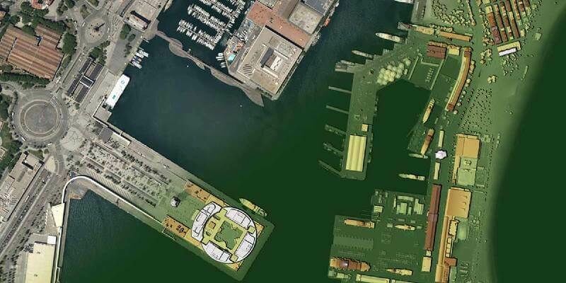
Navigate new waters with UltraMap version 6.0 for professional aerial data production
18th January 2023
Navigate new waters with UltraMap version 6.0 for professional aerial data production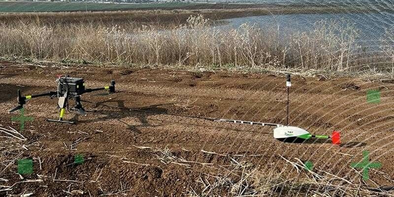
TOPODRONE synchronized LiDAR and bathymetric surveying methods to study a floating solar farm in Israel
16th January 2023
TOPODRONE synchronized LiDAR and bathymetric surveying methods to study a floating solar farm in Israel

SimActive software used for sensor calibration and validation
2nd November 2022
SimActive software used for sensor calibration and validation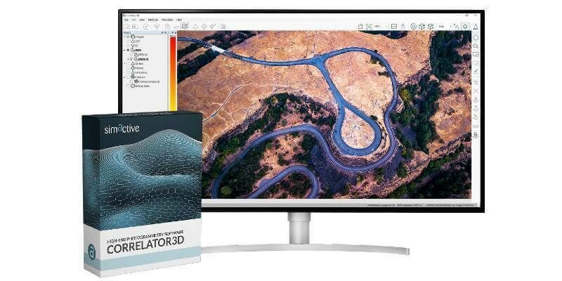
Malaysian Government's JUPEM Selects SimActive's Correlator3D Software for Data Processing
26th October 2022
Malaysian Government's JUPEM Selects SimActive's Correlator3D Software for Data Processing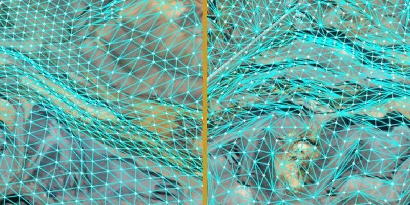
Virtual Surveyor Unveils Innovative Method of Generating Topographic Surfaces from Drone Survey Data
6th October 2022
Virtual Surveyor Unveils Innovative Method of Generating Topographic Surfaces from Drone Survey Data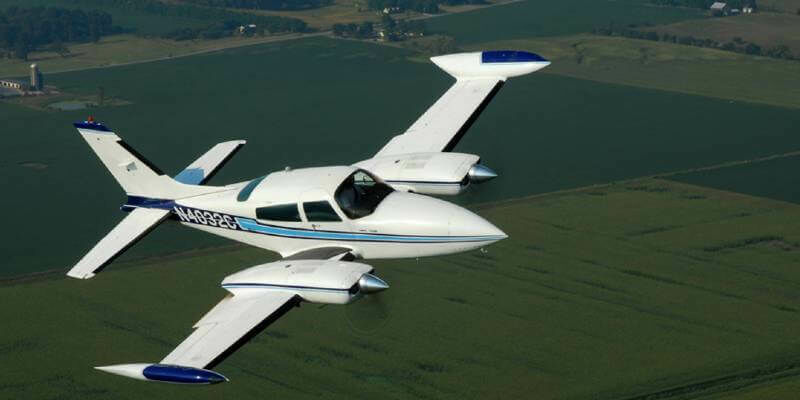
SimActive Software Used for Sensor Calibration and Validation
26th September 2022
SimActive Software Used for Sensor Calibration and Validation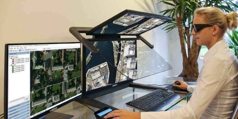
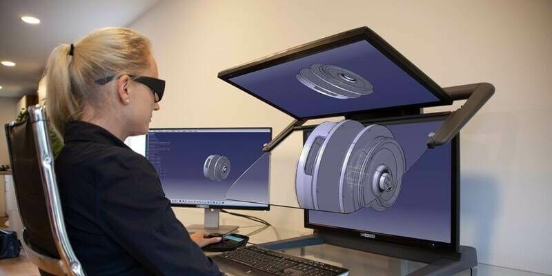
3D Stereo visualization with 3D PluraView improves Hexagon ImageStation photogrammetry workflow
31st August 2022
3D Stereo visualization with 3D PluraView improves Hexagon ImageStation photogrammetry workflow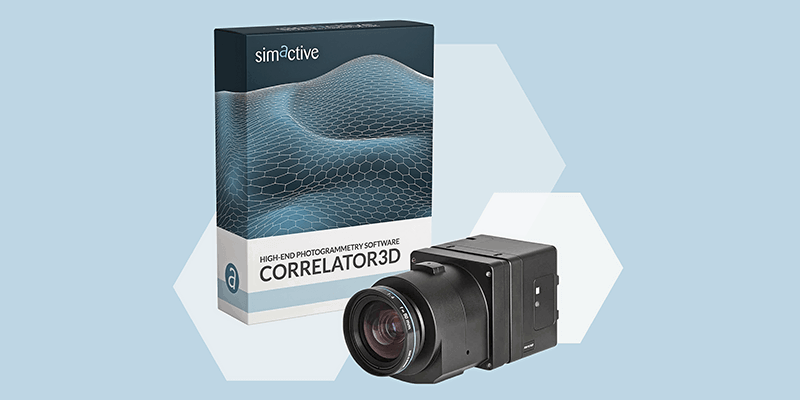
SimActive releases version 9.2 with Phase One IIQ integration
19th July 2022
SimActive releases version 9.2 with Phase One IIQ integration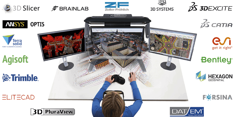
Global market overview of stereoscopic software solutions
19th July 2022
Global market overview of stereoscopic software solutions
SimActive Releases Version 9.2 with Phase One IIQ Integration
21st June 2022
SimActive Releases Version 9.2 with Phase One IIQ Integration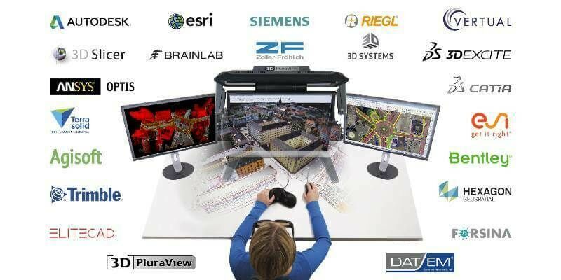
Global market overview of stereoscopic software solutions
20th May 2022
Global market overview of stereoscopic software solutionsMedium Format Cameras Used with SimActive Software to Minimize Mapping Costs
28th April 2022
Medium Format Cameras Used with SimActive Software to Minimize Mapping Costs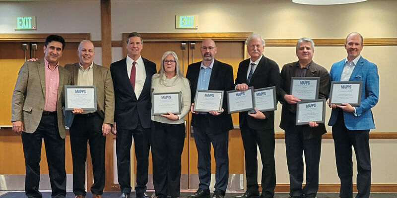
MAPPS presents the 2021 Geospatial Products and Services Excellence Awards
12th April 2022
MAPPS presents the 2021 Geospatial Products and Services Excellence Awards
SimActive Releases Correlator3D Version 9.1 with Productivity Enhancements
30th March 2022
SimActive Releases Correlator3D Version 9.1 with Productivity Enhancements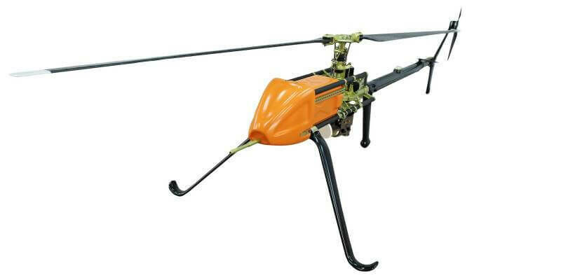
UAVOS Completed Project to Improve Railway Inspection Safety and Speed
17th March 2022
UAVOS Completed Project to Improve Railway Inspection Safety and Speed
3D PluraView – stereoscopic 3D-visualisation for the oil- and gas industry
7th March 2022
3D PluraView – stereoscopic 3D-visualisation for the oil- and gas industry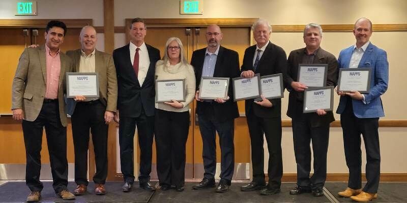
MAPPS Presents the 2021 Geospatial Products and Services Excellence Awards
7th February 2022
MAPPS Presents the 2021 Geospatial Products and Services Excellence Awards
Guy’s Cliffe House: from point cloud to VR
27th January 2022
Guy’s Cliffe House: from point cloud to VR
Terrasolid maps the world in 3D – 3D PluraView monitors visualize in Stereo
23rd December 2021
Terrasolid maps the world in 3D – 3D PluraView monitors visualize in Stereo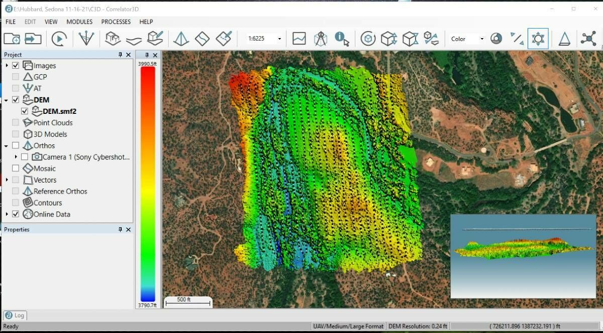
Extreme Aerial Monitoring One of the Largest Construction Projects in the Desert Southwest with SimActive Software
8th December 2021
Extreme Aerial Monitoring One of the Largest Construction Projects in the Desert Southwest with SimActive Software
SimActive Software Used with Skydio Drones for Land Development Projects
11th November 2021
SimActive Software Used with Skydio Drones for Land Development Projects
Phase One - P3 Payload Power Line Inspection Test Flight
5th November 2021
Phase One - P3 Payload Power Line Inspection Test Flight
Phase One - P3 Payload Bridge Inspection Test Flight
5th November 2021
Phase One - P3 Payload Bridge Inspection Test Flight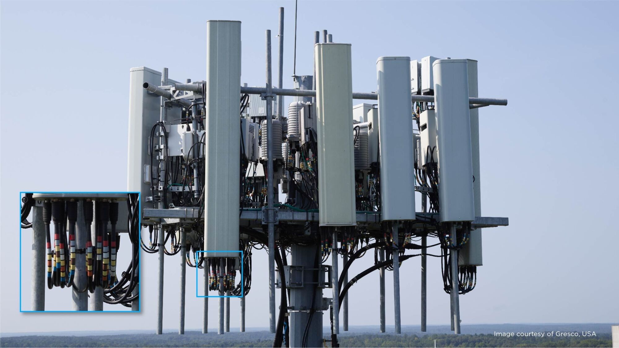
Phase One - P3 Payload Cellphone Tower Inspection Flight
5th November 2021
Phase One - P3 Payload Cellphone Tower Inspection Flight
FARO Expands Digital Twin Product Suite - Acquires HoloBuilder
19th August 2021
FARO Expands Digital Twin Product Suite - Acquires HoloBuilder
Boston University Uses Bluesky Aerial Photomaps to Research Climate Change
19th August 2021
Boston University Uses Bluesky Aerial Photomaps to Research Climate Change
Esri ArcGIS Pro certified for 3D stereo visualization with 3D PluraView monitors
19th August 2021
Esri ArcGIS Pro certified for 3D stereo visualization with 3D PluraView monitors