Share
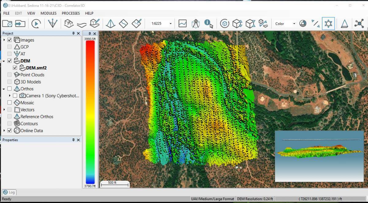
SimActive announced the use of its Correlator3D product by Extreme Aerial Productions in Phoenix, Arizona for site monitoring applications.
Aerial imagery in conjunction with conventional ground survey is being used to monitor construction progress over a multi-year period.
Phoenix is experiencing another technology boom with large manufacturing companies relocating to the area and expanding into desert. Extreme Aerial is supporting a large semiconductor manufacturing facility currently under construction. Its drone fleet is used to capture on-site activity and produce deliverables for the engineers and architects to use in the construction process.
“The desert southwest is an excellent place for photogrammetry” said Mark Taylor, Chief Geek at Extreme Aerial. “The built-in scripting capabilities found in Correlator3D allow us to efficiently deliver consistent datasets on 1300 acres on a weekly basis for this project, and even on projects over 5,000 acres, for our site monitoring, topo and volumetric projects.”
Subscribe to our newsletter
Stay updated on the latest technology, innovation product arrivals and exciting offers to your inbox.
Newsletter

