Share
SimActive, a photogrammetry software developer was selected by the Malaysian Government's Department of Surveying and Mapping (JUPEM) to support the agency's mapping and geospatial services.
Through a strategic partnership with Malaysian-based firm Sky-Shine Corporation, multiple Correlator3D (C3D) licenses will be used to support the processing of aerial imagery and topographic LiDAR data to support public safety, environmental, and critical infrastructure projects across the country.
"SimActive's software is innovative and will help JUPEM's stakeholders meet their mission of providing quality survey, mapping and geospatial services and management through the best systems," said Hamdan Ismail, Managing Director of Sky-Shine Corporation.
"We are honored to have been chosen by JUPEM to support their geospatial data processing needs," said Dr. Philippe Simard, CEO of SimActive. "SimActive works with government agencies across the world, and they recognize how C3D can help them to streamline their workflows to provide high-quality geospatial data to their constituents."
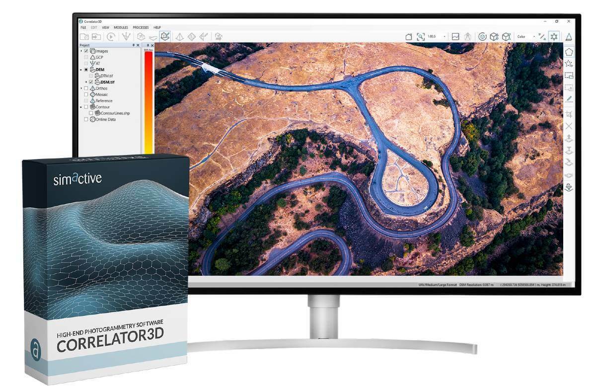
C3D is a high-end photogrammetry software suite used by government agencies, private businesses, and educational institutions across the world. C3D supports the rapid processing of large image datasets from satellite and aerial platforms, including drones.
SimActive will be hosting a free webinar on October 27 demonstrating the capabilities of Correlator3D to support large dataset processing in Southeast Asia. To register and for more information, please visit this link.
Subscribe to our newsletter
Stay updated on the latest technology, innovation product arrivals and exciting offers to your inbox.
Newsletter

