Share
In the construction industry, meeting deadlines and respecting costs are continuous challenges.
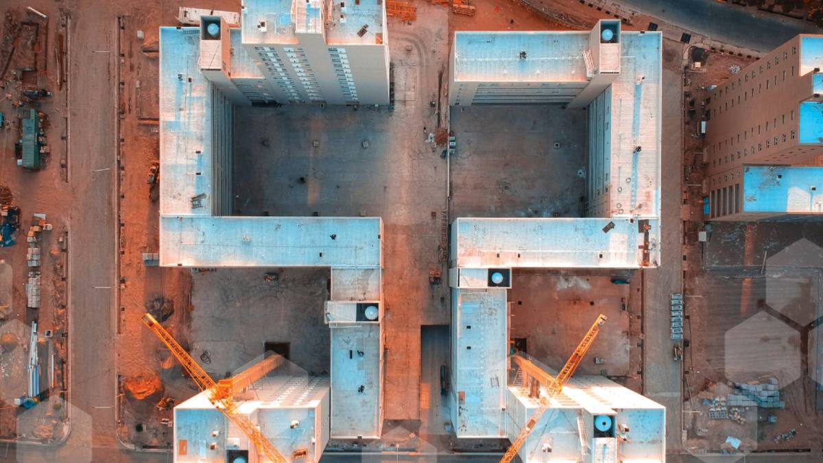
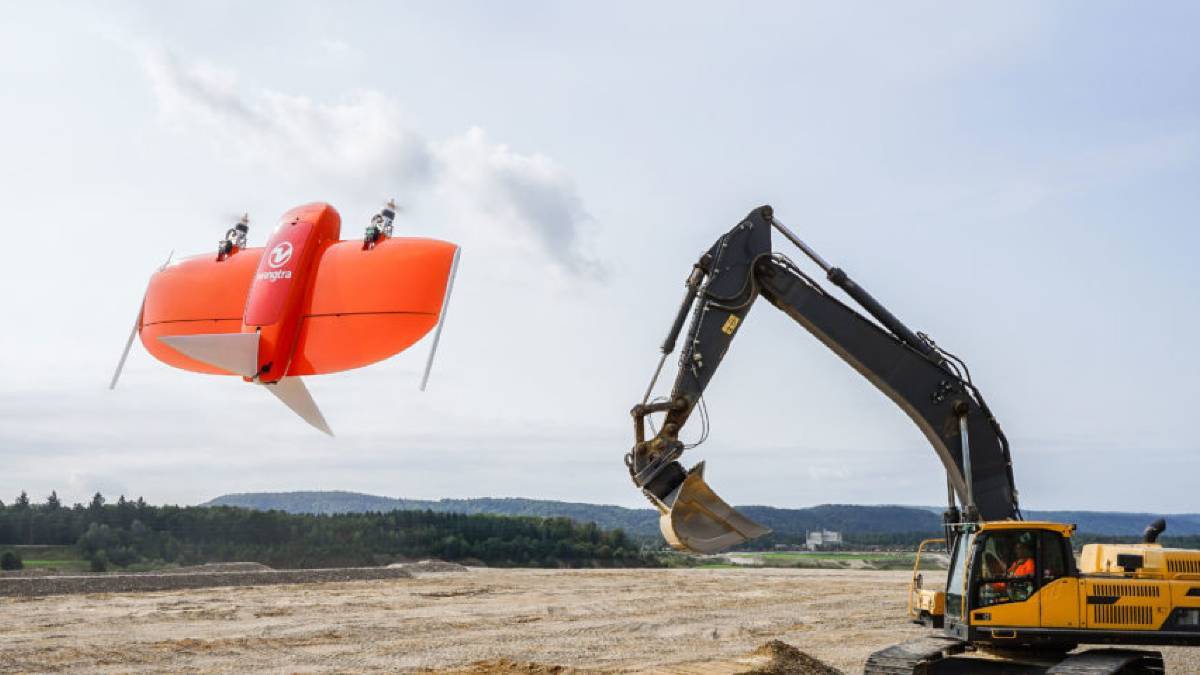
For example, these can be due by unforeseen site constraints or a change in the order of tasks followed by an unexpected event. Thus, it can be difficult to respect budgets and schedules, and cost overruns are frequent. Drones are becoming popular to monitor construction sites as they allow to gather up-to-date data more frequently.
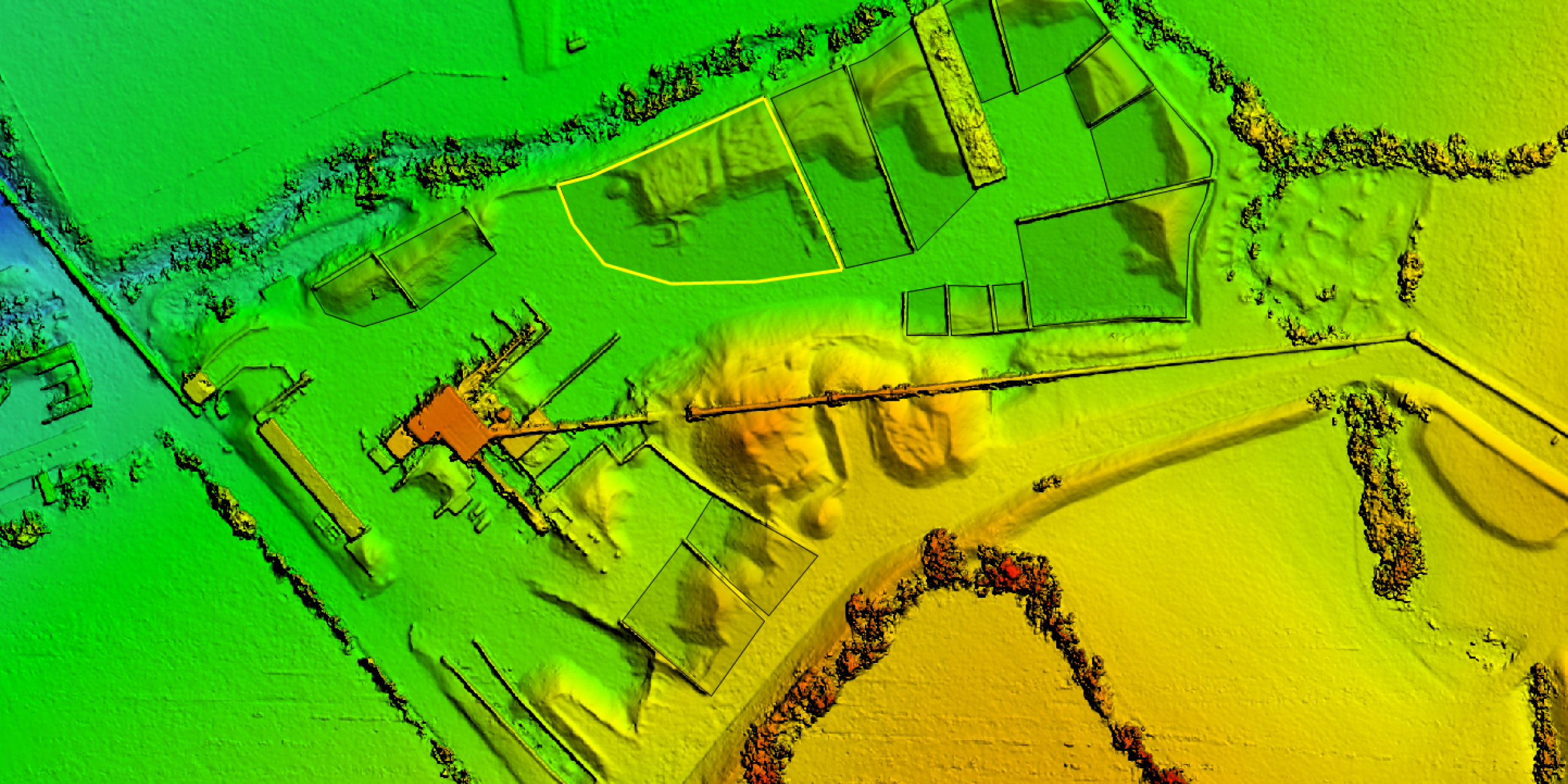
The collected data can be quicky processed through photogrammetry to create different mapping products. The use of a high-end photogrammetry suite such as SimActive Correlator3D allows not only allows to save processing time, but also to generate the most accurate results possible. These include digital surface, terrain models (DSMs/DTMs) and point clouds at high densities as well as seamless orthomosaics. Using fast software leads to quick turnarounds for large areas and can even allow processing drone projects directly in the field on a laptop.
The use of drones combined with advanced photogrammetry software offers major advantages to monitor construction sites. The access of sites is facilitated, especially when steep slopes or tall structures are present. The progress of projects can also be easily and more frequently monitored, removing the need to send technical teams on the ground and reducing the associated risks. Combined, these advantages lead to cost reductions compared to traditional terrestrial surveys.
Subscribe to our newsletter
Stay updated on the latest technology, innovation product arrivals and exciting offers to your inbox.
Newsletter

