Share
SimActive announces the use of its Correlator3D product by Redefined Horizons in Northern California for land development applications.
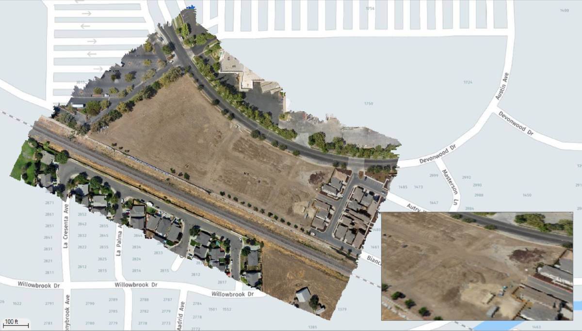
In conjunction with conventional ground survey, Skydio drone imagery is used to create accurate maps of existing parcels for future land development.
In urban areas of Northern California, there are many parcels that sit unused as if abandoned. As these parcels become more valuable, inevitably a developer will begin the development process which requires a site survey. It is in these smaller in fill situations that drones excel. Lightweight, and with very little visible footprint, small drones such as the Skydio2 can quickly capture the imagery needed for mapping.
Click here to view case study
Subscribe to our newsletter
Stay updated on the latest technology, innovation product arrivals and exciting offers to your inbox.
Newsletter

