Share
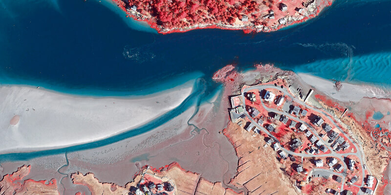
Researchers at Boston University are using high resolution aerial photography to investigate how important coastal ecosystems are responding to climate change. The study focused on an area of salt marsh in Massachusetts which saw an extreme storm event deposit more than 15 years’ worth of sediment onto the marshes. Using high resolution aerial photography from Bluesky researchers were able to examine the deposits in detail recording measurements of deposit’s distribution and total cover. A second survey of the site has recently been completed by Bluesky to map depressions in the marsh surface, called potholes, which are important indicators of how the salt marsh is responding to rising sea level. www.bluesky-world.com


