Online Media Briefing: Artemis I getting ready for launch
19th August 2022
Online Media Briefing: Artemis I getting ready for launch19th August 2022
Online Media Briefing: Artemis I getting ready for launch
18th August 2022
Juniper Systems introduces the all-new Mesa Pro Rugged Tablet16th August 2022
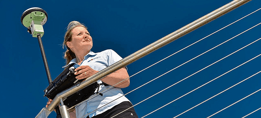
Environmental Monitoring at the Port of Tyne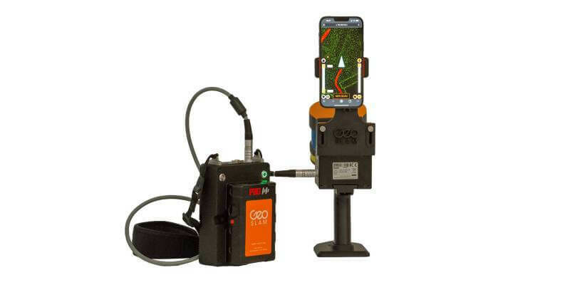
16th August 2022
GeoSLAM adds real-time data capture feedback to ZEB Horizon
3rd August 2022
Geneq Inc Announces the SXblue SMART, the newest addition to the GNSS smart antenna line
26th July 2022
Fibre network designers, Jorvik Design Group, first in UK to invest in a KOREC supplied Trimble MX50 Mobile Mapping System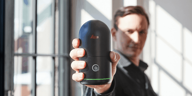
19th July 2022
Hexagon disrupts reality capture once again with its next-generation, ultra-fast Leica BLK360 laser scanner
19th July 2022
Juniper Systems Limited launches Android 11 update for the Mesa 3 Rugged Tablet
19th July 2022
Clirio launches world's first end-to-end holographic scan and review apps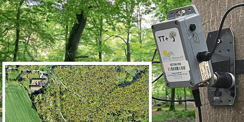
19th July 2022
Tree pest and disease monitoring system uses Bluesky's UK Tree Map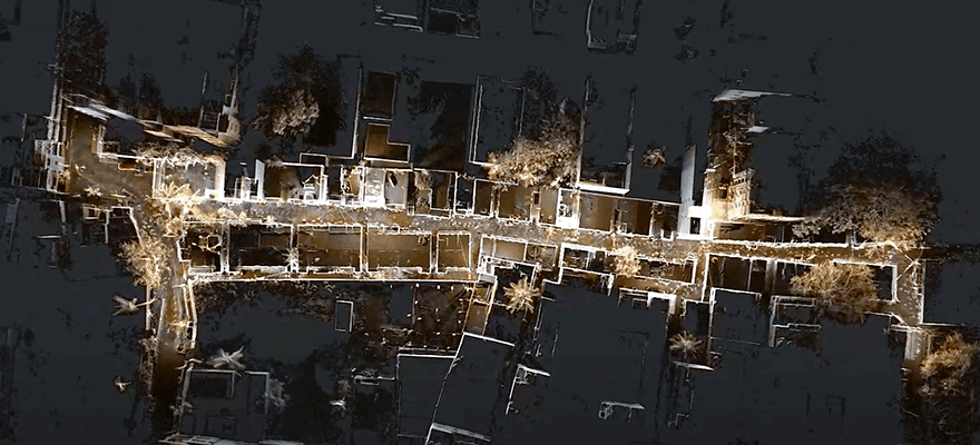


13th July 2022
IDS GeoRadar launches Stream DP with new Equalised scrambled Technology (EsT)13th July 2022
Network Rail Environmental Monitoring Install7th July 2022
Fugro’s Geo-data supports the development of Denmark’s largest offshore wind farm

31st May 2022
CamFlite Introduces Most Advanced Drone Avionics To Product Range
19th May 2022
Dual aerial sensors yield impressive results19th May 2022
5G Connectivity Helps Robot Become Construction’s Best Friend
13th May 2022
Juniper Systems Limited Launches Android 11 Update for the Mesa 3 Rugged Tablet13th May 2022
Report: Marine geospatial collaboration will reaffirm the UK’s role as a global leader in ocean science12th April 2022
Juniper Systems Limited launches Uinta software for Android OS devices12th April 2022
Miros' sensors provide valuable insights to validate the use of unmanned vehicles for port operations
22nd March 2022
You're Invited to Spectral Sessions - April 5 and 622nd March 2022
Space Flight Laboratory (SFL) Awarded Contract to Build Next Three Greenhouse Gas Monitoring Microsatellites for GHGSat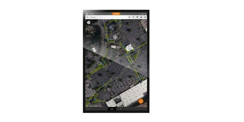
22nd February 2022
Juniper Systems Limited Launches Uinta Software for Android OS Devices
13th January 2022
Carlson 2022 Select Suite for Land Development Helps Increase Productivity and Efficiency With New Features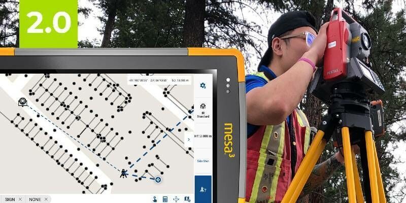
18th November 2021
The Most Affordable, Reliable, Innovative Android Data Collection Software On The Planet Just Got Better!
11th November 2021
Handheld launches new version of its ultra-rugged PDA, the NAUTIZ X9
4th November 2021
TUNDRA drone integrated with UgCS Integrated Systems solutions
15th October 2021
Handheld announces new version of the NAUTIZ X6 ultra-rugged Android phablet
28th September 2021
Sercel Awarded Major Seismic Equipment Contract in North Africa
22nd September 2021
New Trimble DA2 Receiver Boosts Performance Of Trimble Catalyst GNSS Positioning Service
13th September 2021
Leica Geosystems Partners with Infotech to Introduce Construction Inspection Solution, Increases Efficiency of Data Collection for Civil Infrastructure Projects
19th August 2021
Data, data, data: the future of surveying19th August 2021
New Trimble GEDO GX50 Laser Scanning System Introduced
19th August 2021
Spectra Geospatial Introduces Next Generation of Field Solutions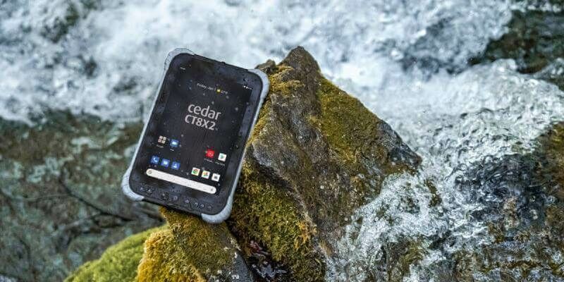
22nd July 2021
Juniper Systems Limited Launches CT8X2 Rugged Tablet15th July 2021
Maptek consolidates on field benefits for high accuracy survey-grade sensors
2nd July 2021
PhaseOne - How Digital-Twins of Hydro-power Dams support Plant Operations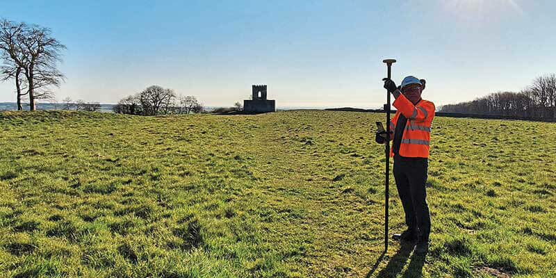


1st July 2021
Trimble T100 Tablet Delivers High-Performance Computing in the Field
1st July 2021
XenomatiX launched the next generation true-solid-state LiDAR