
Juniper Systems Limited Releases New Uinta Software Worldwide
31st January 2021
Juniper Systems Limited Releases New Uinta Software Worldwide
31st January 2021
Juniper Systems Limited Releases New Uinta Software Worldwide
31st January 2021
PiP IoT partners with Yotta to enhance smart asset management solutions28th January 2021
Arab Mining Convention 2021 - Virtual Connect is all set to make its mark as one of the largest mining events in the MENA region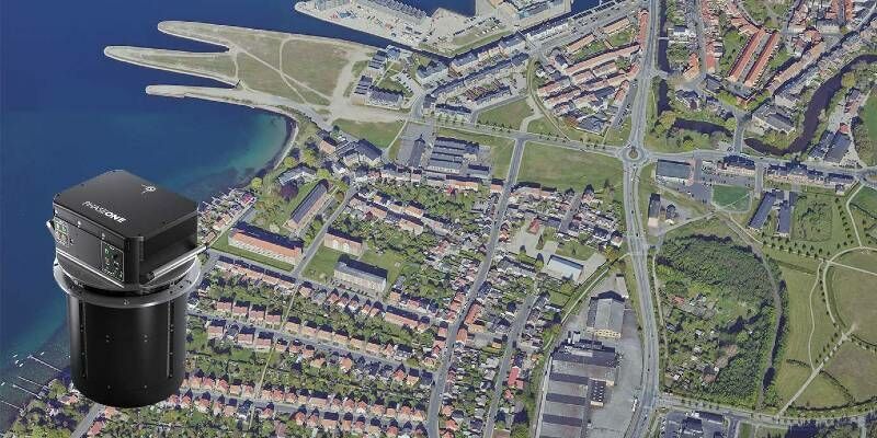
27th January 2021
You are invited to attend Phase One webinar
27th January 2021
L3Harris - You're Invited to Spectral Sessions!27th January 2021
MARSS Appoints Andrew Forbes to Lead New Arabian Office
24th January 2021
Easy-to-use, Intuitive Mining Apps for Autonomous Data Acquisition and Processing22nd January 2021
Framework agreement facilitates future slot bookings by ESA21st January 2021
Delivering site surveys and installations remotely21st January 2021
The UK’s Residential Property Sector advocates greater adoption of the UPRN
14th January 2021
GHGSat Reports Smallest Methane Emission Ever Detected from Space with Microsatellite Developed by Space Flight Laboratory (SFL)
14th January 2021
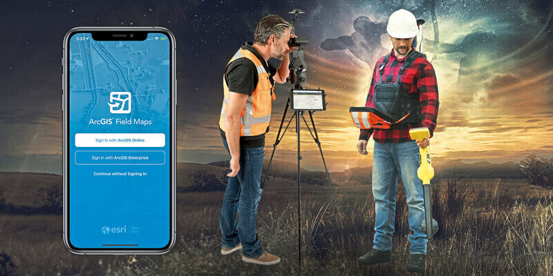
Esri Announces Launch of ArcGIS Field Maps
13th January 2021
Juniper Systems Limited Expands Team in EMEA, India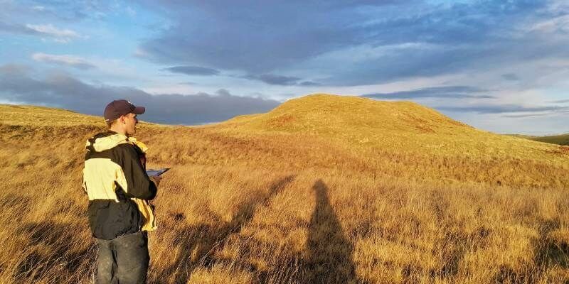
4th December 2020
thinkWhere’s groundMapper Underpins GIS Transformation at Tilhil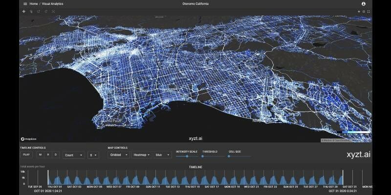
3rd December 2020
xyzt.ai analytics platform leverages Otonomo’s connected vehicle data boosting traffic management visualization capabilities
3rd December 2020
UKHO and Cefas launch new innovation challenge to support growth in offshore renewable energy3rd December 2020
Leica Geosystems Introduces iCON Field Software Version 6.025th November 2020
Pre Event Press Release for European Mining Convention 202024th November 2020
Sercel Announces Global Launch of S-lynks Structural Health Monitoring System11th November 2020
New high-resolution CoaXPress cameras engineered for long-term reliability in harsh environments
11th November 2020
Esri Announces Launch of ArcGIS Field Maps29th October 2020
Fugro’s Major Upgrade To Lads Technology Improves Hydrographic Data Collection In Australia And Pacific Region29th October 2020
Trimble and Boston Dynamics Announce Strategic Alliance
27th October 2020
GHGSat Reports Smallest Methane Emission Ever Detected from Space with Microsatellite Developed by Space Flight Laboratory (SFL)
22nd October 2020
Juniper Systems Limited Expands Team in EMEA, India

16th September 2020
Eos Positioning Systems announces compatibility of Eos Laser Mapping and Eos Locate with Esri ArcGIS Field Maps (beta)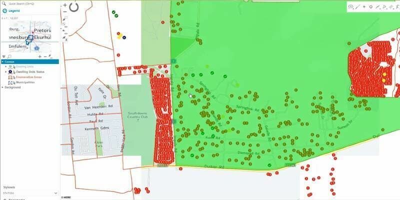
16th September 2020
Hexagon Unveils HxGN Smart Census 2020 for Enhanced Citizen Data Collection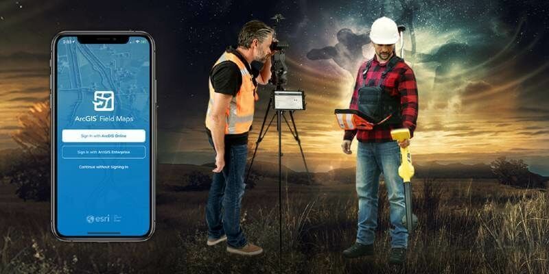
28th August 2020
ArcGIS Field Maps Beta supports Eos Locate (underground mapping) and Eos Laser Mapping27th August 2020
New PolyChord technology to improve prediction of destination and arrival times of commercial shipping vessels

26th August 2020
Surveyors all over the Globe rely on Nikon Total Stations26th August 2020
Prostar joins Trimble’s GIS Business Partner Program
9th August 2020
CGG Multi-Physics Updates LCT Software with Innovations for Imaging Potential Field Data
9th August 2020
Geo-localized data collection now made easy with new OnPOZ Collect app for Android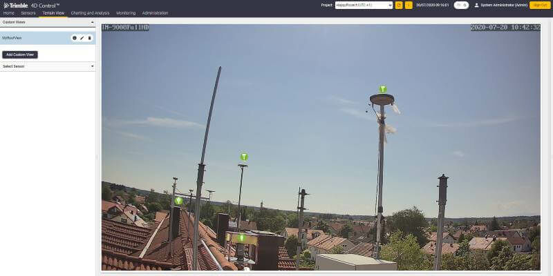
21st July 2020
Trimble Introduces Subscription Options for Real-Time Monitoring Software
19th July 2020
Velodyne Lidar Adds the "Smart" to Blue City Technology's Smart City Solution
9th July 2020
ProStar Joins Trimble’s GIS Business Partner Program to Define the Next Generation of Utility Mapping
6th July 2020
TDI-Brooks Purchases First US-Based WINGHEAD System from Seahorse Geomatics6th July 2020
Geneq Announces F100 the New Highly Integrated GNSS Receiver With a Multi-touch Screen
1st July 2020
New Quad-Band Receiver Delivers Ultra-Precise Position For Demanding Marine Operations