
Septentrio adds Sapcorda SAPA service to GNSS receiver portfolio
1st July 2020
Septentrio adds Sapcorda SAPA service to GNSS receiver portfolio
1st July 2020
Septentrio adds Sapcorda SAPA service to GNSS receiver portfolio1st July 2020
U.S. rugged device manufacturer Juniper Systems sees strong demand as global supply chains are impacted by COVID-19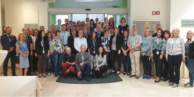
29th June 2020
Unique collaboration releases updated official boundary and geospatial data for Europe
25th June 2020
RIEGL NEWS: Webinar on Data Fusion scheduled for Tuesday, June 30, 2020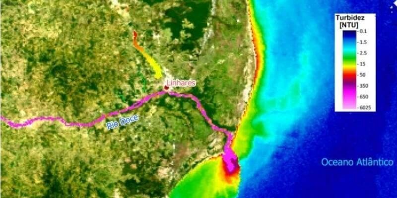
22nd June 2020
Lactec and Eomap sign an unprecedented partnership in Brazil
19th June 2020
Zurich City Police In Switzerland Using Riegl Scanners For Crash Scene Investigation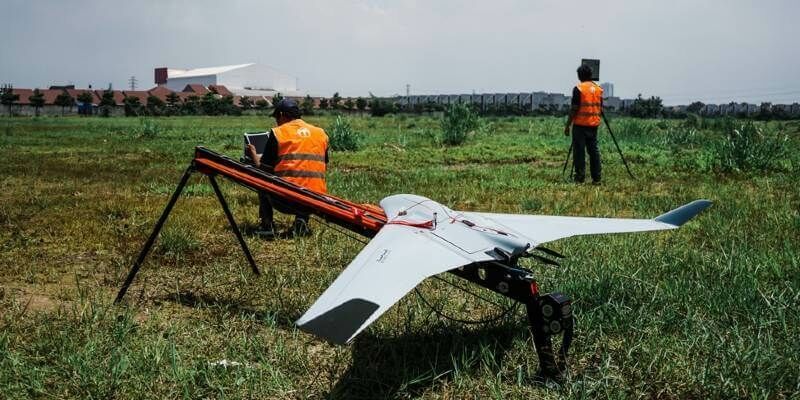
19th June 2020
Terra Drone Corporation solidifies South East Asia presence with establishment of new base in Malaysia
18th June 2020
Innovative project reaches new depths despite global pandemic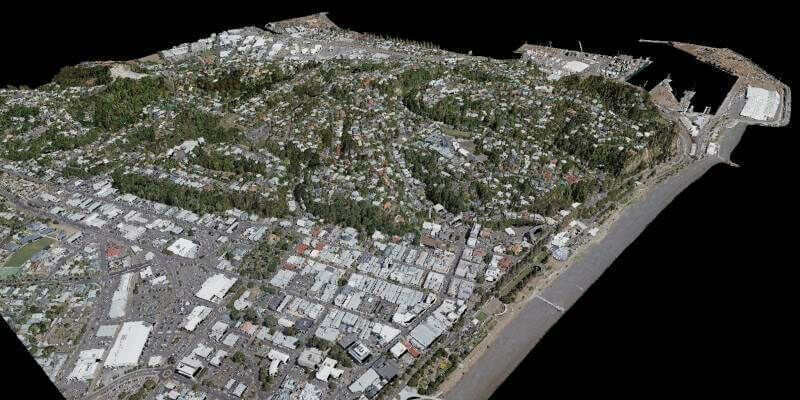
18th June 2020
iXblue, Woolpert partner to deliver LiDAR mapping services to New Zealand Councils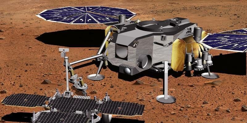
17th June 2020
Airbus wins next study contract for Martian Sample Fetch Rover

8th June 2020
Online training: Learn how to add easy-to-use SAR processing to your remote sensing applications
4th June 2020
MGISS Helps Highways Sector Adopt New Highways England Standards
29th May 2020
SPRINT forms partnership with konfer digital innovation brokerage service
28th May 2020
Landmark appoints Alex Wrottesley as Managing Director of Environment and Mapping division
25th May 2020
Ordnance Survey to create the Ordnance Survey of Dubai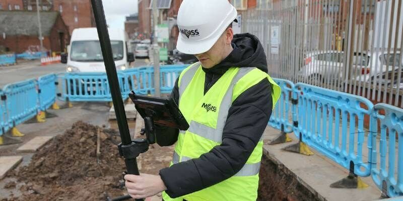
15th May 2020
MGISS Equips Critical Infrastructure Workers During COVID-19 Lockdown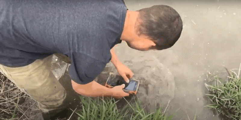
14th May 2020
Mesa Rugged Tablet Torture Test Juniper Systems Limited
11th May 2020
U.S. rugged device manufacturer Juniper Systems sees strong demand as global supply chains are impacted by COVID-19


29th April 2020
Juniper Systems Announces New Windows 10 Rugged Tablet: Mesa 2™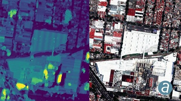
9th April 2020
SimActive Used to Determine Solar Potential from Satellite Imagery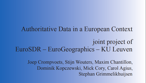
2nd March 2020
New report identifies key components of authoritative geospatial data
24th February 2020
4 Earth Intelligence Appoints Board to Drive Innovation in Satellite Services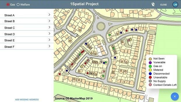
24th February 2020
1Spatial announce new mobile platform for spatial data collection
23rd February 2020
OGC Invites Developers to its Environmental Data Retrieval API Sprint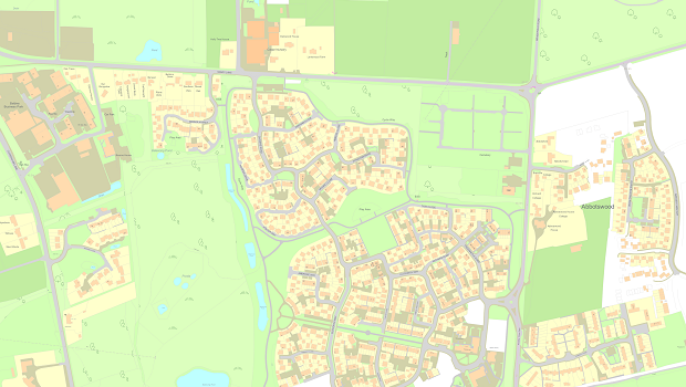
14th February 2020
Capturing the changing face of Great Britain
12th February 2020
Mesa 3 Rugged Tablet Now Available Running Android
29th January 2020
Juniper Systems Limited Introduces the Mesa 3 Rugged Tablet
6th January 2020
CGG Exits from Seabed Data Acquisition Business
16th December 2019
Competition reveals novel way to predict traffic flow using AI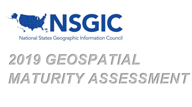
14th December 2019
NSGIC Releases Geospatial Maturity Assessment Survey
6th December 2019
Promoting geospatial insight to drive innovation and growth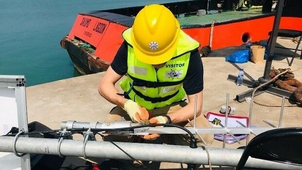
26th November 2019
Delivering robust solutions to ports and harbours in the UK and overseas
21st November 2019
Pointfuse Launches Simple BIM Solution for Facilities Management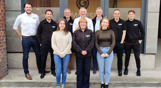
21st November 2019
MGISS Ranked Fourth in North West Tech 50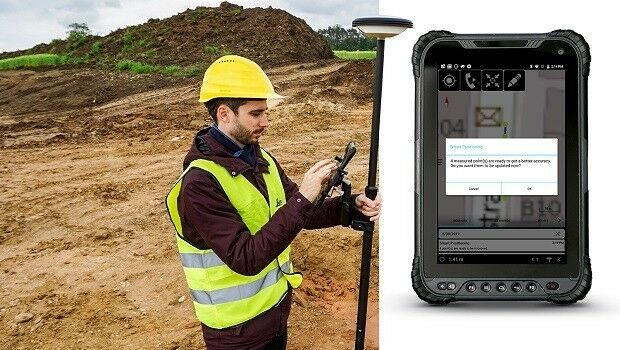
19th November 2019
Leica Geosystems enables a new era for GIS data capture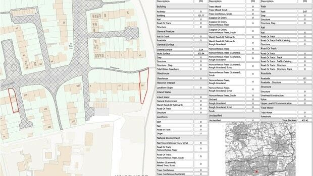
28th October 2019
Setting out weed control tender made easier with geospatial data analysis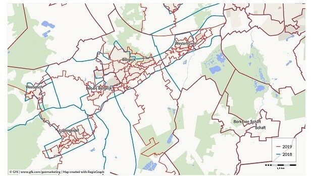

15th October 2019
thinkWhere Releases New groundMapper Web Mapping Tool
11th October 2019
TSC Publishing Launches Ocean Mining Intel Online Platform
11th October 2019
Fugro completes deepwater AUV surveys for Shell in US Gulf of Mexico10th October 2019
Latest construction field software uses cloud integration for more efficient workflow

1st October 2019
G-Core Labs speeds up its content delivery network
1st October 2019
OGC announces exciting agenda for two-day Location Powers: Data Science summit
27th September 2019
Streetwise Services Improve Traffic Surveys with thinkWhere’s Online Maps