Share
Juniper Systems Limited, a manufacturer of rugged handheld computers and GNSS receivers, announced that its Uinta Mapping and Data Collection Software is now available for devices running on the Android operating system.
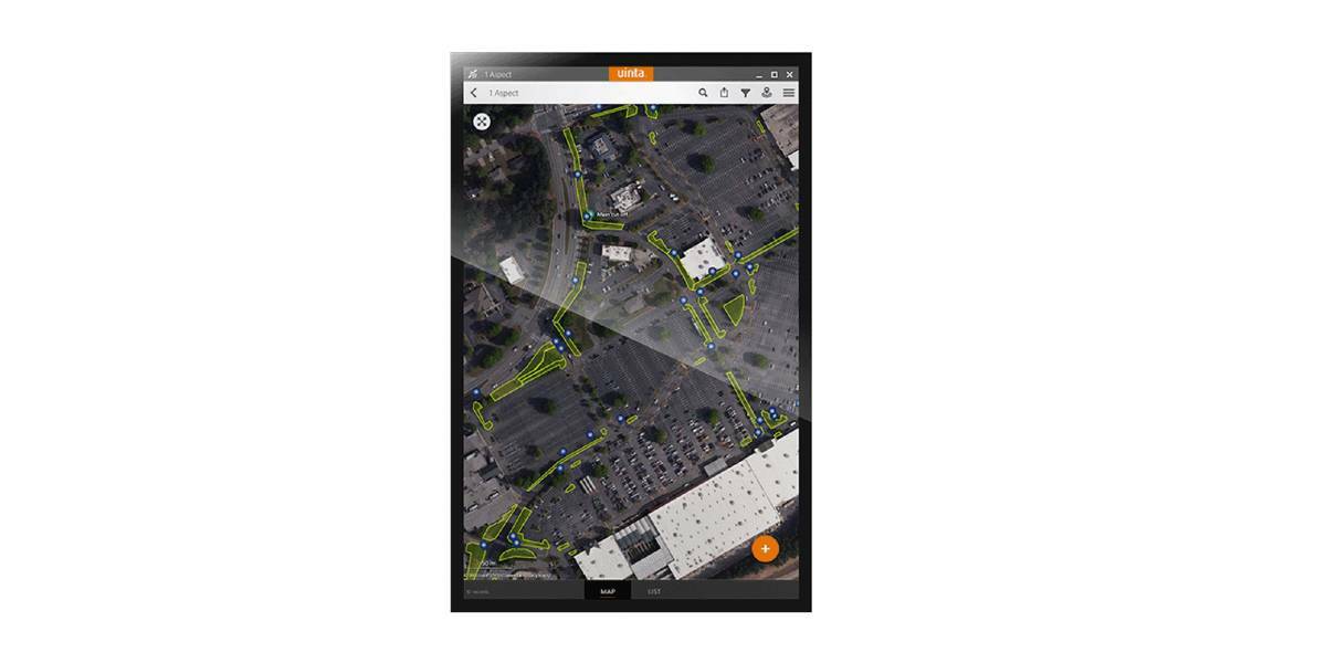
This is particularly valuable for workers who prefer to use an Android tablet or smartphone as a data collector.
The same data collection software loved by users of Microsoft Windows devices is now available for Android devices. Uinta’s intuitive and customisable user workflow makes land measurement and asset mapping easier for data collection in the field. Uinta can now be used on a range of smartphones and tablets, including Juniper Systems Limited’s Cedar CT8X2 and Mesa 3 Rugged Tablets running on Android.
‘Uinta software on Windows has been popular for a wide range of customer applications’, said Mr. Simon Bowe, managing director of Juniper Systems Limited, based near Birmingham, U.K. ‘We’re excited that this intuitive software now runs on Android devices, since that provides so many mobile device options. Many of our customers now use Uinta Windows in the office on a PC or laptop, and use Uinta Android in the field on their Android tablet or smartphone’.
Uinta software licenses are now interchangeable, working on both Windows and Android devices.
In addition, Juniper Systems Limited’s Geode GNSS Receiver is commonly used with Uinta. When using the Geode and running Uinta on an Android phone or tablet, users create a total mapping solution: collect high-accuracy GNSS data on the Geode, record the data in Uinta software, and see the data on a mobile or tablet.
‘At Juniper Systems Limited, we’re passionate about rugged field data collection and how our customers use our products’, Mr. Bowe said. ‘There are already a broad range of industries where Uinta is being used, and we’re sure those will expand now that Uinta is running on Android devices’.
Uinta for Android or Windows is intuitive to use and quick to set up, making mapping and data collection easy. The software includes project templates that can be modified to meet individual project needs. Uinta is commonly used in a range of field data applications, including utility mapping; commercial and agricultural irrigation; industrial asset inspections and rounds; and numerous environmental sciences in forestry, wetlands, wildlife, vegetation mapping, and others. Juniper Systems also provides all users with live technical support, training, and assistance if needed.
Subscribe to our newsletter
Stay updated on the latest technology, innovation product arrivals and exciting offers to your inbox.
Newsletter

