Share
Since 2007, NOAA’s National Ocean Service (NOS) has administered the update of the National Spatial Reference System (NSRS), a massive project to modernize the measurement of vertical elevations in the U.S. and its territories
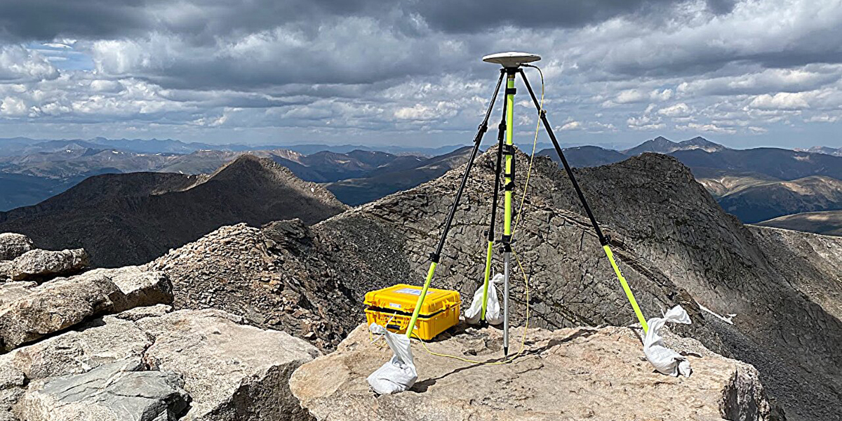
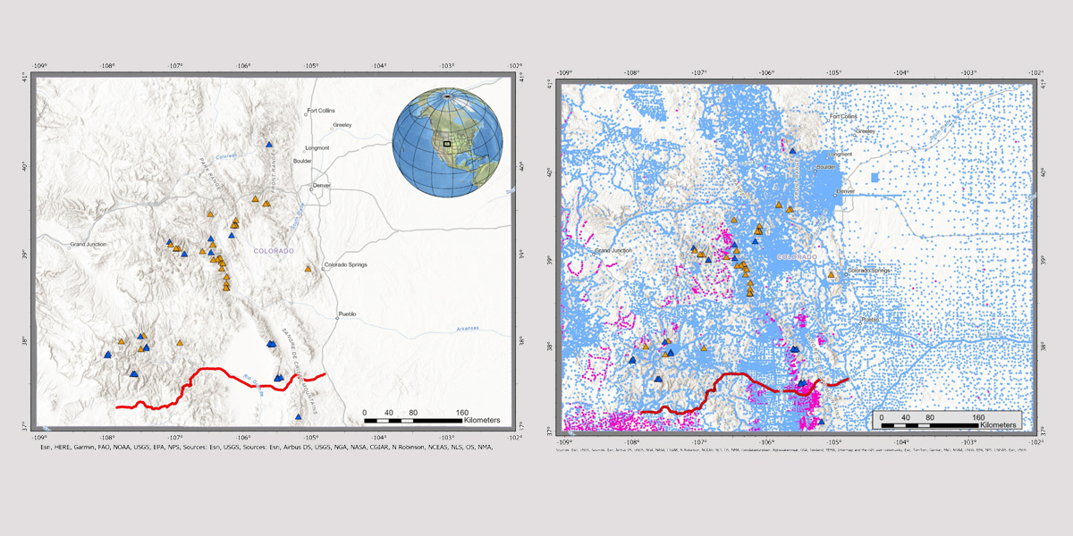
As part of that work, in 2017, Derek van Westrum, a physicist with the NOS, and a team of NOAA National Geodetic Survey (NGS) scientists in Colorado realized that the published elevations of the state's iconic "Fourteeners"—53 mountain peaks with summits at least 14,000 feet above sea level—were all overestimated by roughly 1 meter.
With the results of their work now published in the Journal of Geodesy, van Westrum and his team can breathe easy. All 53 Fourteeners retain the title, though Huron Peak is now the lowest peak, claiming Sunshine Peak's former spot.
"We were quite relieved to find that we didn't lose any," van Westrum said.
"Coloradans love their Fourteeners. I was pretty sure we were going to get a lot of grief!"
The results have broad implications for all elevations across the nation with the upcoming modernization of the NSRS, which will be the foundation for all surveying and mapping in the U.S. going forward.
Better, faster, economical and more accurate
As part of the NSRS modernization, NGS scientists recently completed a 16-year-long project to collect airborne gravity data over the entire U.S. and its territories. This data will be used to make accurate height measurement better, faster and more economical. The project, called the Gravity for the Redefinition of the American Vertical Datum, or GRAV-D, uses measurements of Earth's gravity field to define sea level, even under the continents. When completed, users will be able to get accurate heights to within about an inch for most locations around the nation.
"The elevation of a typical 14er benchmark could be plus or minus a couple feet," said Kevin Ahlgren, lead author on the new paper. "We get within a few centimeters. It's like 20 times better."
Not only will height measurements be more accurate, they will be much easier to update and better predict how they may change in the future due to land subsidence or sea level rise. The improved system will be tied into GPS, so it will be easier and faster to get accurate height information.

Better heights = billions saved
A recent study estimated that this update will lead to about $8.7 billion in social and economic benefits over the first 10 years to the U.S. through improved floodplain mapping, coastal resource management, construction, agriculture and emergency evacuation planning.
"It will be revolutionary, like GPS," said co-author Brian Shaw, NGS's Rocky Mountain Regional Advisor. "Having accuracy like this will lead to things we can't imagine now."
More information: Kevin Ahlgren et al, Moving mountains: reevaluating the elevations of Colorado mountain summits using modern geodetic techniques, Journal of Geodesy (2024). DOI: 10.1007/s00190-024-01831-8
To see the new ranking of Colorado Fourteeners, visit: Moving Mountains: NGS Researchers Reevaluate the Heights of Colorado Mountain Peaks.
To see how coastal regions stand to benefit, see: Biden-Harris Administration shares new land cover data to help communities understand coastal change.
Provided by NOAA Headquarters
Subscribe to our newsletter
Stay updated on the latest technology, innovation product arrivals and exciting offers to your inbox.
Newsletter

