Share
There are big semantic and technical differences between the data and systems used by land and marine organisations. Ingo Simonis explains what OGC is doing to bring those two groups together to help us better understand coastal environmentS
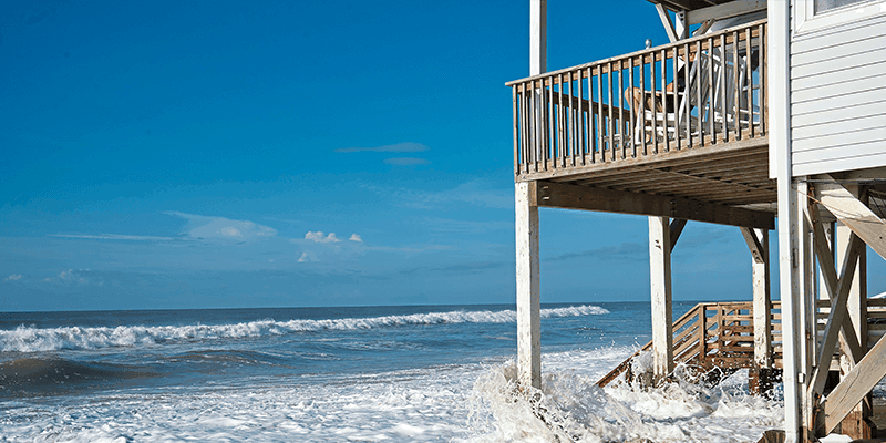
Coasts are complex and dynamic environments that form some of our most important economic and ecological areas. The effects of climate change are only increasing their complexity and dynamism: rising sea levels and increased storm activity are eroding shorelines, swallowing infrastructure and communities, as well as reducing available land; changing currents are affecting the movement of nutrients and the deposition of sediments and changing navigation routes.
So how can we better understand coastal environments, particularly in the context of the changing climate? How can we find answers to questions such as “Where will the sea inundate the coast during a storm surge?” and critically “How many people will be affected?” and “Where will the costs be highest?”
To answer questions such as these and other “What If” scenarios, scientists and stakeholders need to integrate and analyse a broad spectrum of geospatial data from an equally broad set of data providers.
However, data integration is particularly challenging for coastal environments. This is in part because the organisations that manage a country’s marine areas are often separate from those that manage its land. This has led to semantic and technical differences between the data and systems that they each create and maintain – differences that can run as deep as their geographical foundations.
Further to this, data concerning marine environments is also more expensive to collect, as it can mostly only be generated using sensors on board slow-moving ships that are expensive to crew and operate, or sail drones that are cheaper to operate, but still move relatively slowly. This means that there is significantly less data concerning marine environments than there is for those on land.
So, while Digital Twins that straddle land and sea can be used to simulate “what if” scenarios that address many pressing questions concerning the changing climate and environment, we first need to build interoperability between the land and sea data that’s required to power them.
In recognition of these issues, OGC has been researching and developing solutions for interoperability in and across marine and coastal environments for more than a decade. Recent initiatives undertaken by OGC’s Collaborative Solutions and Innovation (COSI) Program (formerly the OGC Innovation Program) include the Marine Spatial Data Infrastructure Concept Development Study, the Maritime Limits and Boundaries Pilot, the Arctic Spatial Data Pilot, and most recently, the multi-year Federated Marine Spatial Data Infrastructure (FMSDI) Pilot, which is currently in its fourth phase. Outcomes from these and other COSI Initiatives are freely available as OGC Engineering Reports, Standards, and other guides.
The multi-year FMSDI pilot
The OGC FMSDI Pilot is designed to improve and simplify the management, sharing, and analysis of marine spatial data. The pilot’s federated approach – whereby resources and expertise from across government agencies, academic institutions, private organisations and jurisdictions are pooled into a single, integrated system – enables more efficient and effective decision-making for marine spatial planning, conservation and management.
The previous phases of the pilot, as well as other OGC initiatives, have shown that open, freely available standards make it easier and more cost-effective for the broad range of marine and coastal stakeholders to find, access, integrate and use the data they need.
Phase I of the pilot began in September 2021 with a request for information that sought to understand the status quo of marine SDI. Starting in January 2022, Phase II used the Baltic and North seas to demonstrate access to marine protected areas data at OGC API endpoints for a wide variety of end users outside the traditional MSDI domain.
In parallel, it also investigated how marine SDIs compare in terms of performance. For this purpose, the United Nations Integrated Geospatial Information Framework (UN-IGIF) was applied to marine SDIs. The UN-IGIF provides a basis and guide for developing, integrating, strengthening and maximising geospatial information management and related resources in all countries.
Phase III, which ran from June 2022 to February 2023, extended the pilot to a new location – the Arctic – while adding more data and more services to address more complex scenarios. Phase IV, running from April to October 2023, continues to investigate the Arctic, but also addresses challenges faced in two new locations: Singapore, and the Caribbean. Future phases are planned that will continue to build upon the information gained to date.
Phase IV
Across these three areas, participants in the 2023 FMSDI Pilot (aka Phase IV) seek to address the following questions: how can we better integrate and analyse vastly different datasets to develop useful “what if” scenarios and forecasting? And can existing marine navigation data contribute to the creation of higher-level “value added” data products that support environmental analysis and decision making?
The 2023 pilot is divided into three interrelated parts that each focus on a specific coastal area and the problems it faces.
Part I: Singapore
With approximately 30% of Singapore’s land mass being less than 5m above sea level, effective data integration and analysis for developing “what if” scenarios within Digital Twins are a top priority for Singapore. As such, Part I will develop and demonstrate the Digital Twin concept in the context of a land-sea scenario in Singapore, while exploring and evaluating existing OGC, IHO, UN-GGIM and ISO standards and guidelines.
Part II: Canada’s Arctic zone
Part II examines Digital Twins within the context of the Arctic. The loss of sea ice in the Arctic, continuing ocean warming, melting permafrost, accelerated shoreline erosion and more issues are affecting Arctic communities, so the efficient use and analysis of data is of the utmost importance to Canada.
Part III: The Caribbean
Islands have a close relationship with the sea and will suffer some of the worst effects of climate change. Part III will investigate how the Caribbean islands can use existing marine navigation data in other ways: to better inform decision-makers and/or create new revenue-generating value-added data products. The pilot is also investing in geospatial capacity building in the Caribbean.
Bringing it all together
Coastal and marine areas face some of the biggest threats from climate change. The work undertaken by OGC seeks to improve our understanding of the impact of climate change on coasts by making it easier to find, access, integrate and use the different data that exists at this complex interface of land and sea.
Ingo Simonis is chief technology innovation officer of the OGC (www.ogc.org)


