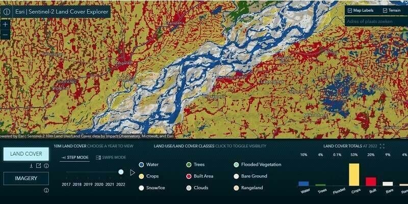
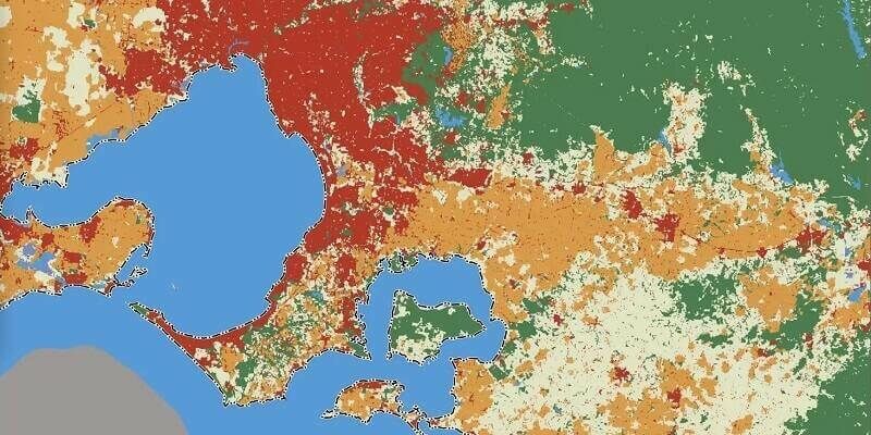
Esri Releases Latest Land Cover Map with Improved AI Modeling
11th July 2023
Esri Releases Latest Land Cover Map with Improved AI ModelingComputer-based tools and techniques for the storage, processing, querying and visualisation of geographic data, most notably in the form of maps, charts and atlases
This topic covers the software systems and services– both desktop, mobile and cloud-based - that are used across the public, private and consumer sectors to store, process and display geographic data, most notably in the form of maps, charts and atlases. It also covers the tools provided by such software and cloud-based services to manipulate, analyse and query that data, as well as to integrate a variety of non-spatial datasets. See also Geographic Information Systems (GIS)
11th July 2023
Esri Releases Latest Land Cover Map with Improved AI Modeling
20th June 2023
Anglian Water reduces flooding and pollution incidents with real-time picture of risk

5th June 2023
Birmingham Creates Interactive Mapping Portal using Bluesky Tree Data
5th May 2023
Beneath The Waves and Hexagon win Geospatial World Leadership Award for advancing Blue Carbon research in The Bahamas
28th April 2023
GAF AG provides support to the European Union’s knowledge hub for science, space, and digitalisation
26th April 2023
Bluesky and Ecopia Partner to Create First 3D Map of Ireland
22nd April 2023
Centralised database helps scientists better understand coral reefs
14th April 2023
Project launched to prototype large-scale high-value pan-European datasets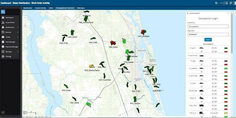
12th April 2023
CompassCom Releases CompassLDE Connectors for Cityworks Work Order Management Desktop and Office Modules
11th April 2023
GeoAlert releases new region-specific Building footprints AI models
11th April 2023
Mach9 launches new geospatial production software to meet growing demand from the $3 trillion global infrastructure market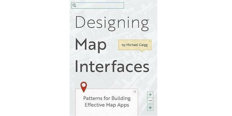
4th April 2023
Esri Book Demonstrates How to Create Map Apps with User Experience in Mind
30th March 2023
Impact Observatory Secures $5.9M Seed Round to Bring AI-powered Space-based Monitoring for Sustainability, Climate, and Environmental Risk
29th March 2023
Project launched to prototype large-scale high-value pan-European datasets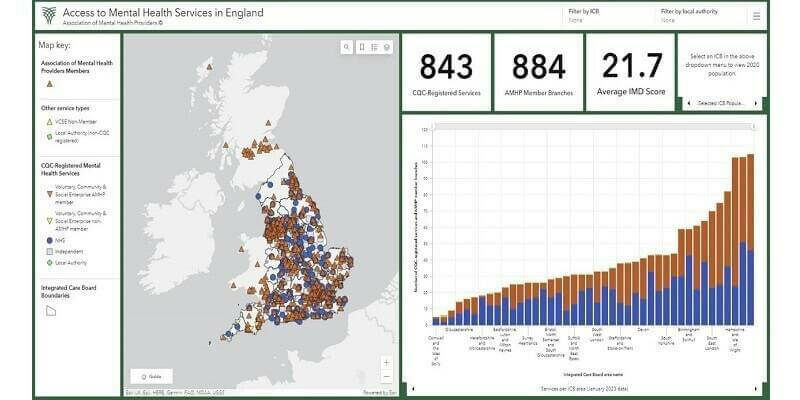
15th March 2023
First national picture of mental health service provision launched by Association of Mental Health Providers
7th March 2023
Pioneering study shows how flood risks can be considerably reduced
1st March 2023
Esri Enters into Agreement with United Nations Population Fund to Help Modernize National Statistics Programs

1st March 2023
The MUDDI Path Towards a Clearer Underground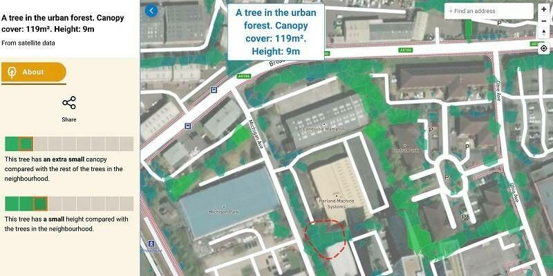
24th February 2023
Bluesky Tree Map Enhances Online Urban Forest Mapping Platform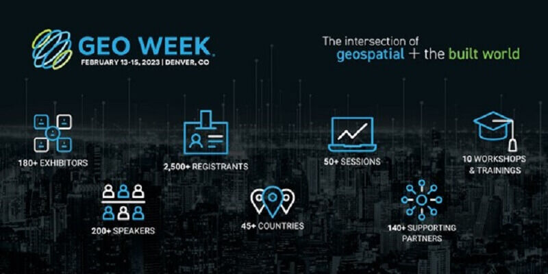
9th February 2023
Geo Week features sold-out exhibit floor and 2,500+ registrants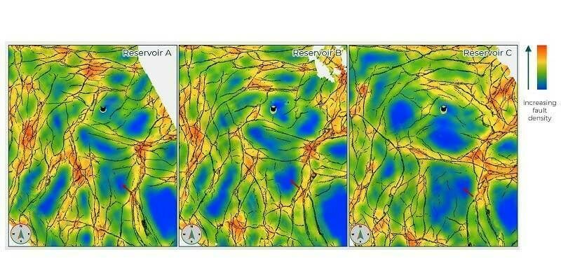
7th February 2023
Geoteric is disrupting the seismic interpretation market in another world-first software release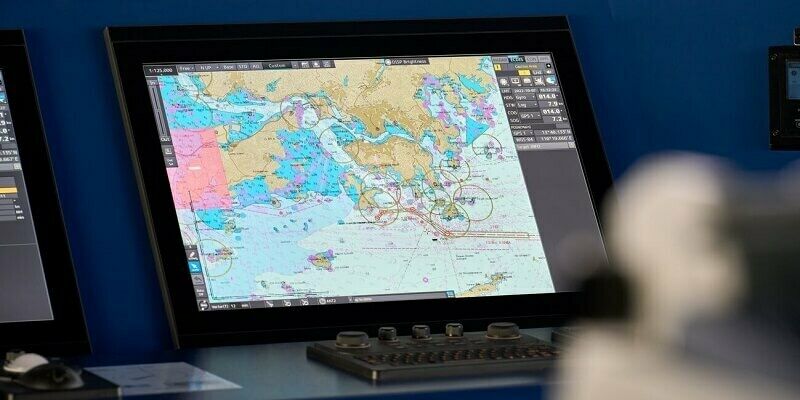
6th February 2023
UKHO to extend timetable for paper chart withdrawal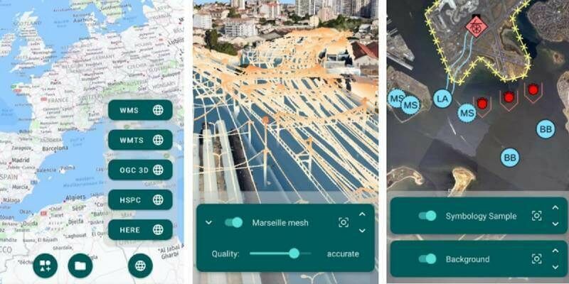
27th January 2023
Hexagon announces new platform for defense mobile apps

26th January 2023
Esri UK appoints Pete Wilkinson as new managing director

23rd January 2023
Europa Technologies reappointed by Scottish Government for premium PSGA services
5th January 2023
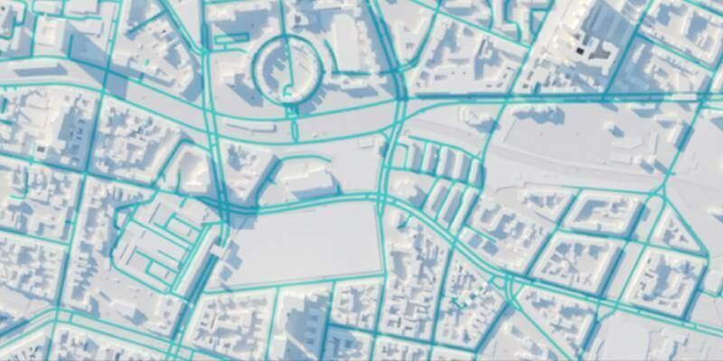
HERE introduces UniMap to revolutionize how maps are created, updated and used
5th January 2023
Czech Railway Administration will use digital maps from Ness built on Hexagon technology
3rd January 2023
HERE named #1 location platform by Omdia for 6th consecutive year
2nd January 2023
AI enables more effective humanitarian action by estimating population density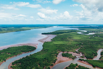
7th December 2022
Coastal concerns: how data can help us understand the pressure of climate change
6th December 2022
Web mapping to support the National Forest’s 25-year vision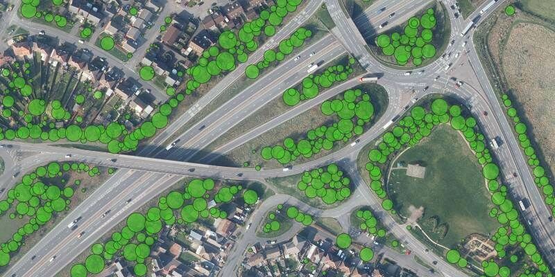
30th November 2022
Bluesky Tree Map Protects Leicestershire Highways from Falling Trees
24th November 2022
Esri UK provides mapping expertise for Department for Education’s major new climate project
17th November 2022
Fugro awarded major offshore wind contract with Energinet to support Denmark’s renewable energy goals
16th November 2022
Teledyne Optech Galaxy T2000 mobilized for earthquake recovery and reconstruction effort in China
16th November 2022
Change in leadership at GAF AG – Dr Gernot Ramminger named new Managing Director
15th November 2022
Presagis Teams with Kambill Systems to Provide Artificial Intelligence-Based Geospatial Services in Asia Pacific
14th November 2022
Hexagon’s R-evolution enables blue carbon credits for the world’s largest seagrass ecosystem
9th November 2022
Open Maps For Europe wins BeGeo Best Project Award
10th October 2022
National providers of official geospatial data map out role in EU decade of action