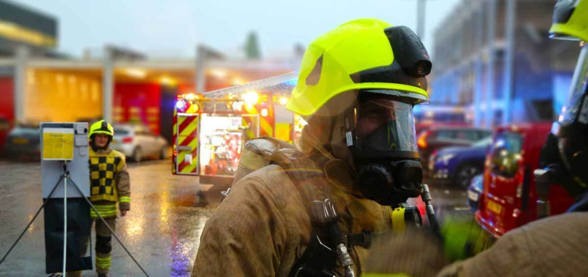
Oxfordshire Fire and Rescue Service (OFRS) has a systems approach to integrated risk management.
This prioritises the delivery of statutory duties to reduce risk and vulnerability in Oxfordshire. As part of its prevention programme, it plans to improve efficiencies by targeting communities and individuals in most need of support.
OFRS already benefit from using Cadcorp SIS Desktop and Cadcorp Workload Modeller for a range of GIS analysis. They approached Cadcorp to provide risk modelling consultancy on the data, methodology and results of risk analysis across Oxfordshire.
Cadcorp analysts utilised a combination of data including OFRS historical incidents, Ordnance Survey® AddressBase® Premium and Experian Mosaic. Detailed, risk models ranging from geographical areas to individual addresses and demographic profiles were then created. This involved using OFRS historic incident data to calculate risk scores using a range of different attributes. Modelling based on Mosaic included calculations on age classification, additional risk, and proportional representation of risks. This allows the fire service to attach a risk rating to each demographic group and individual household across Oxfordshire.
Project deliverables included final risk scores with calculations and a GIS project file with internal overlays for station grounds and Lower Layer Super Output Areas (LSOA). The map output was themed according to risk, and incident data with spatial tags indicated incident location and severity. All methodology decisions were carried out in consultation with OFRS and logged within methodology document provided alongside the project outputs.
Following this project, OFRS will be reviewing the outputs to define a ‘risk scale’ based on available resourcing. Once the risk scale is defined, each of the geographic datasets (Household, LSOA, Station Grounds) will be uploaded to the Oxfordshire County Council web mapping platform and made accessible via 4G tablet devices on each fire appliance. In addition, the output data will be integrated with its Safe & Well referral system to improve the targeting of non-referred high risk properties.
Analysis can be re-run at defined time intervals as part of OFRS’ service commitments. Resulting from the risk modelling project, data on high-risk areas, high demand areas and population density will be referenced when planning service improvement.
Josh Wilson, Data Systems Manager at OFRS commented: “It has been a really positive experience working with Cadcorp on this project. They were in regular contact throughout, and offered suggestions for an improved methodology, supported with examples and evidence. Receiving external validation and advice to complement our in-house analysis provides OFRS with a robust and effective risk model.”
GIS is used extensively by emergency services for protection and prevention and response. The Cadcorp team of specialists can provide both a quality assurance service, or full project consultancy that is tailored to best meet organisational requirements.

Subscribe to our newsletter
Stay updated on the latest technology, innovation product arrivals and exciting offers to your inbox.
Newsletter

