
thinkWhere Appoints Louise Barnes as Chief Commercial Officer
29th October 2020
thinkWhere Appoints Louise Barnes as Chief Commercial Officer
29th October 2020
thinkWhere Appoints Louise Barnes as Chief Commercial Officer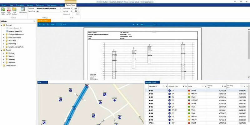
29th October 2020
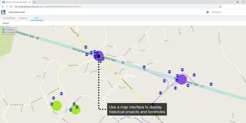
Bentley Systems Announces Availability of OpenGround Cloud
8th October 2020
Trimble Announces New Collaboration Platform Integrations with Microsoft 365 and BIMcollab
2nd October 2020
1Spatial have been named as a supplier for G-Cloud 12 Digital Marketplace
28th September 2020
Cadcorp offers substantial additions to online GIS and web mapping capability in G-Cloud 12
23rd September 2020
MGISS Scores Accreditation Hat-trick for Cloud Software and Workplace Wellbeing
13th September 2020
Bentley Systems Announces Availability of OpenGround Cloud to Increase the Value of Geotechnical Data

26th August 2020
1Spatial announce the release of 1Data Gateway v2.126th August 2020
PCI Geomatics Announces Partnership with GeoCloud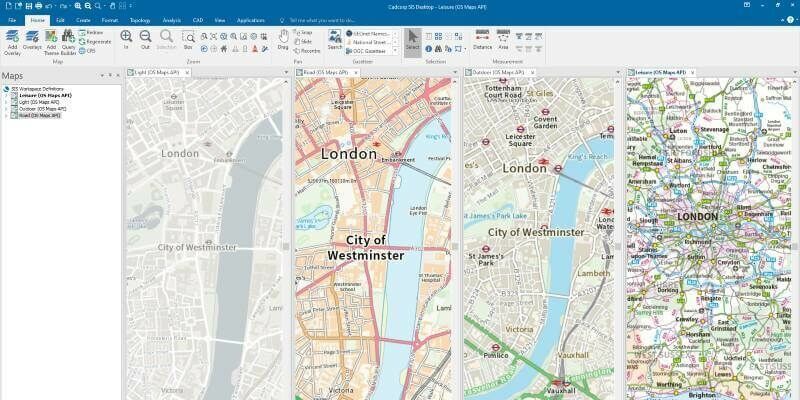
3rd August 2020
Cadcorp SIS 9 service release enables direct link to Ordnance Survey Data Hub
27th July 2020
SIBUR & G-Core Labs launched a universal AR service for the remote maintenance and repair of industrial equipment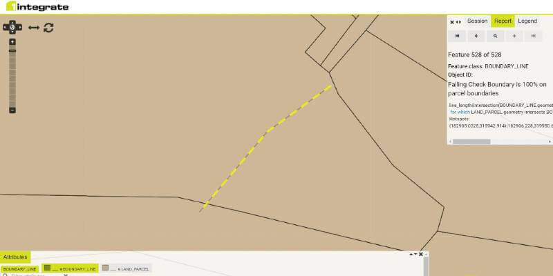
10th July 2020
1Spatial announce the release of 1Integrate v2.7
10th July 2020
Bentley Systems’ Acceleration Fund Announces the Launch of Virtuosity, a Bentley Company
9th July 2020
Utility Cloud 2020 | 15-17 September, Virtual Conference
3rd July 2020
Covid-19 creates steep learning curve and significant opportunities – what have we learnt so far?2nd July 2020
Cadcorp launches desktop GIS capability in the cloud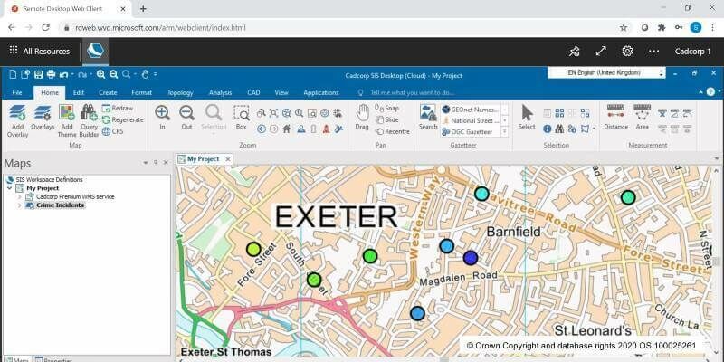
2nd July 2020
Cloud migration path for Cadcorp SIS Desktop1st July 2020
G-Core Labs opens point of presence in Chile
1st July 2020
Bentley Systems Opens Up Full Access to ProjectWise 365
24th June 2020
Robert Mankowski, SVP of Digital Cities, Bentley Systems, Joins the Executive Board of the World Geospatial Industry Council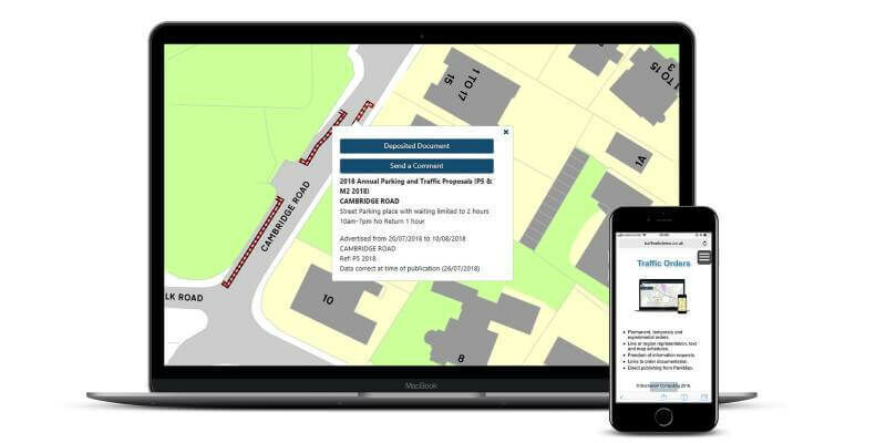
15th June 2020
ParkMap 7 Makes Online Public Consultation Faster and Easier
11th June 2020
Blog: Part 2 – Transforming the way we plan, design, build and operate our national infrastructure using geospatial data infrastructures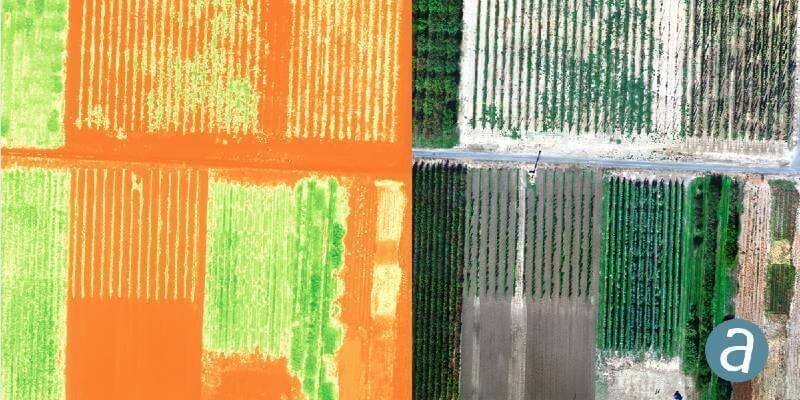
9th June 2020
SimActive Introduces Cloud Sharing and Reflectance Calibration with New Version 8.5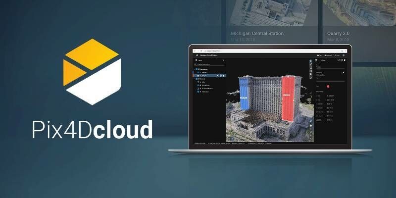
9th June 2020
Pix4D launches stand-alone photogrammetry cloud processing solutions
8th June 2020
Blog: Transforming the way we plan, design, build and operate our national infrastructure using geospatial data infrastructures (Part 1)
4th June 2020
Trimble Connect Collaboration Platform Hits 10 Million User Milestone
1st June 2020
How to Share and Visualize Drone Projects in the Cloud
8th May 2020
Cadcorp launches desktop GIS capability in the cloud
5th May 2020
Trian3DBuilder to produce 3D scenarios from HERE HD Live Map
24th April 2020
CGG GeoSoftware releases Cloud-Ready Reservoir Characterization Applications
16th April 2020
Bentley Systems Opens Up Full Access to ProjectWise 365
1st April 2020
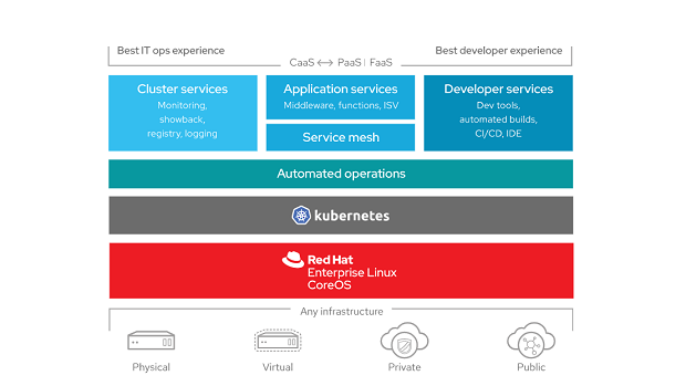
HERE Technologies Achieves Red Hat OpenShift Operator Certification
27th March 2020
Showcase of Emerging Technologies for Emergency Planning and Response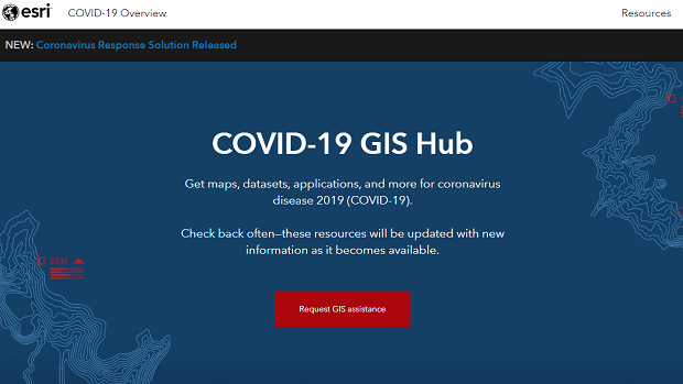
20th March 2020
Esri Provides Free Mapping Software for Organizations Fighting COVID-19
12th March 2020
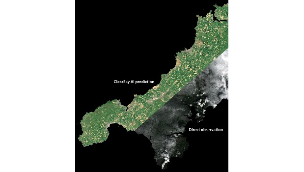
Cloud-free UK mapping AI breakthrough for flood prep and climate change
11th March 2020
BigChange Maps Out Cyclehoop’s On-Street Cycle Parking Revolution

4th March 2020
LAND INFO European 5G Wireless Mapping Team Includes Bluesky & Hexagon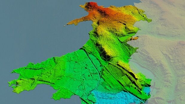
27th February 2020
Bluesky Awarded LiDAR Contract to Map Wales from the Air
23rd February 2020
GSSI to Showcase GPR systems at ConExpo-Con/Agg Show
21st February 2020
APEI first to purchase Leica CityMapper-2
20th February 2020
LAND INFO Announces 5G Wireless Mapping Team in Europe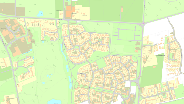
14th February 2020
Capturing the changing face of Great Britain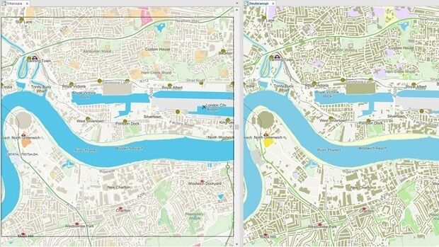
14th February 2020
Cadcorp SIS 9 service release optimises user experience