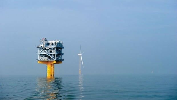
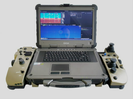
Fugro and SLPE to present case study at Offshore Foundations Conference, Bremen
8th July 2019
Fugro and SLPE to present case study at Offshore Foundations Conference, BremenThe compilation, reproduction and dissemination of maps and charts by means of manual (analogue) or digital techniques, tools and workflows. This topic covers the compilation, reproduction, dissemination and use of both analogue (paper) and digital maps, charts and atlases. As well as the science of cartography, including georeferencing and geocoding, digital techniques for compiling and generating various types of raster and vector maps and charts are covered, as are the digital mapping tools and Geographic Information Systems available for this purpose. The application of cartography for aeronautical, terrestrial and marine purposes is also covered
8th July 2019
Fugro and SLPE to present case study at Offshore Foundations Conference, Bremen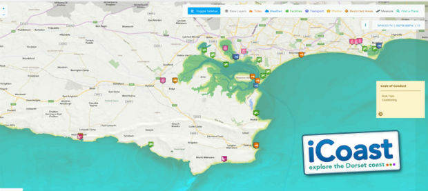
8th July 2019
OceanWise technical expertise boosts iCoast re-launch
6th July 2019
Barry Wellar, C.M., GISP Announced as Closing Speaker5th July 2019
Telangana seeks to become first ‘BVLOS Compliant’ state in India5th July 2019
Telangana seeks to become first ‘BVLOS Compliant’ state in India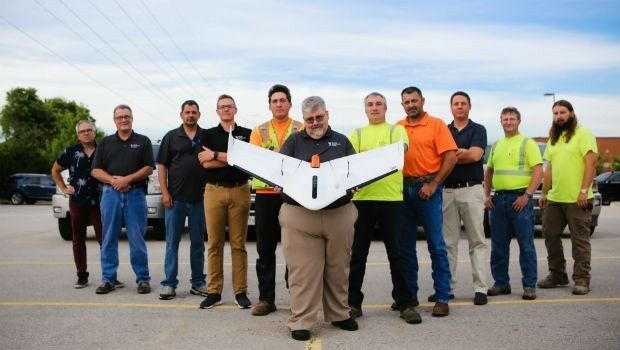
5th July 2019
Weaver Consulting adopts Delair UX11 UAV for large scale surveying, mapping4th July 2019
NSGIC announces keynote speaker Meagan Wolfe4th July 2019
New in G-Cloud 11 - Data Vault from Europa Technologies
3rd July 2019
Terra Drone invests in Dutch robotics company RoNik

3rd July 2019
Cadcorp introduces Spatial Database Service in G-Cloud 11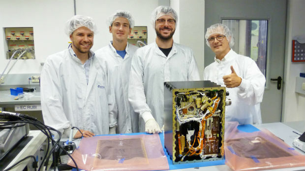
2nd July 2019
Critical Communications World 2019 continues tradition of success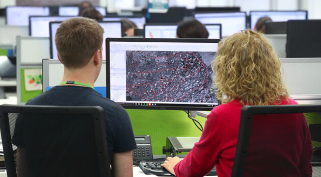
2nd July 2019
thinkWhere Scoops Double Awards for Geographic Cloud Solutions
1st July 2019
Viametris is launching the second-generation version of the vMS30
27th June 2019
Geospatial solutions company Getmapping announces its new partnership with Hexagon’s Geospatial divi26th June 2019
Geospatially Optimized Digital Asset Management Solution
26th June 2019
drone analytics with Terra Mapper data processing software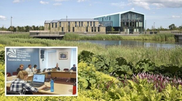
18th June 2019
thinkWhere Brings International GIS Knowledge to the Uni of the Highlands & Islands
12th June 2019
thinkWhere Map Portal for Open European Geographic Data Services Launched4th June 2019
SimActive Releases Version 8.2 for Processing of Multispectral Imagery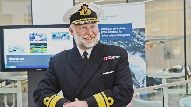
31st May 2019
UK Hydrographic Office appoints Chief Executive
31st May 2019
Envitia Selected by US Army Geospatial Center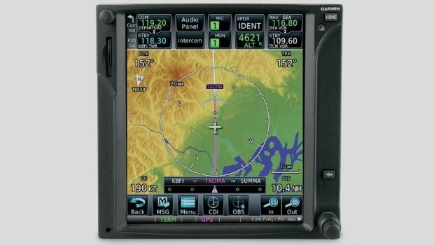
31st May 2019
Garmin adds latest FIS-B weather products to the GTN 650/750 series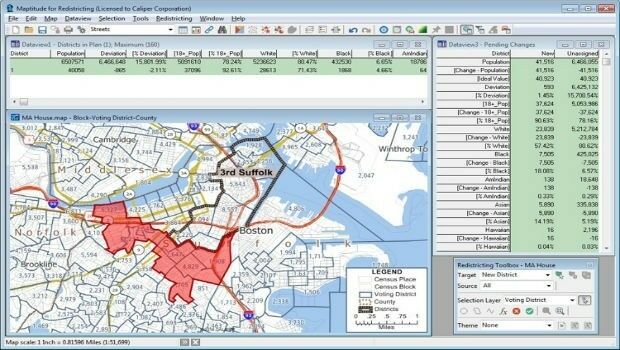
31st May 2019
Learn More About Maptitude for Redistricting at the NCSL
30th May 2019
Ancient Landforms of the Australian Rainforest Revealed by Airborne LiDAR
30th May 2019
Speedy asset services extends Visiontrack video telematics solution30th May 2019
New Globalstar Satellite IoT Solution Safeguarding Reindeer in Nordics
30th May 2019
Airbus wins three satellite deal from Inmarsat for revolutionary spacecraft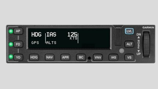
30th May 2019
Garmin receives approval for the GFC 600 autopilot in the Cessna 208/208B
29th May 2019
Exclusive autonomous driving demo at TU-Automotive in Detroit
29th May 2019
HERE Technologies Joins the MuleSoft Technology Partner Program
29th May 2019
Nortek opens Australian office to build on regional demand
29th May 2019
Leica Geosystems opens nominations for Carl Pulfrich Award 2019
29th May 2019
CGG GeoSoftware Donates Geoscience Software Suite
28th May 2019
New Production Facility for Detectors in the USA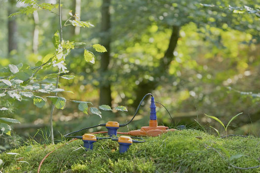
28th May 2019
Sercel Delivers Five 508XT Acquisition Systems to ONGC in India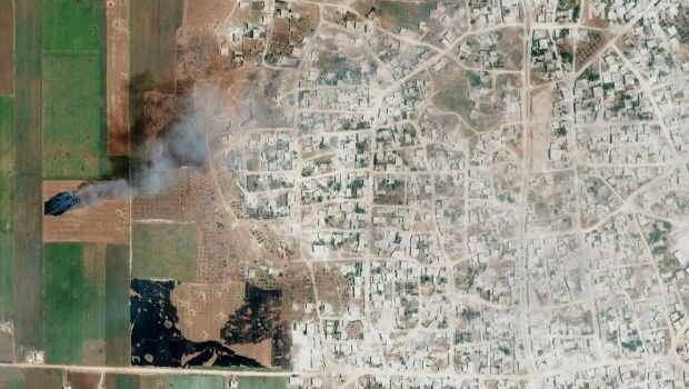
28th May 2019
Satellite Imagery: Syrian Government Offensive in Idlib Province, Syria28th May 2019
HERE Technologies joins the Uptane Alliance28th May 2019
Parrot drones selected by U.S. Department of Defense
28th May 2019
Ecometrica Uses Drones to Map Vegetation in Scottish Forests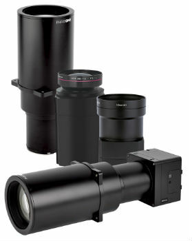
28th May 2019
Phase One Industrial Introduces Three High Performance Lenses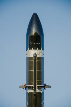
27th May 2019
Kleos Satellites Launch Window Confirmed – August Lift-off