
Fugro commences ROV Drill Support at Western Isles Development
22nd March 2016
Fugro commences ROV Drill Support at Western Isles DevelopmentThe compilation, reproduction and dissemination of maps and charts by means of manual (analogue) or digital techniques, tools and workflows. This topic covers the compilation, reproduction, dissemination and use of both analogue (paper) and digital maps, charts and atlases. As well as the science of cartography, including georeferencing and geocoding, digital techniques for compiling and generating various types of raster and vector maps and charts are covered, as are the digital mapping tools and Geographic Information Systems available for this purpose. The application of cartography for aeronautical, terrestrial and marine purposes is also covered
22nd March 2016
Fugro commences ROV Drill Support at Western Isles Development
21st March 2016
VSTEP supplies NAUTIS Simulators to Independence Seaport Museum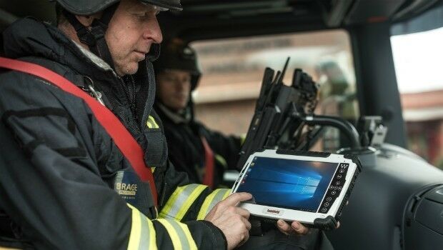
21st March 2016
Handheld signs framework agreement with Saab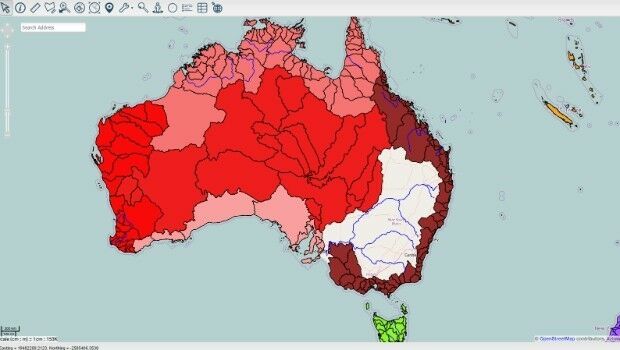
21st March 2016
New online Mapping Platform, Azimap, Launched21st March 2016
Commercial UAV Expo Announces Call for Speakers17th March 2016
GSDI 15 abstracts submission deadline extended to May 1st
21st January 2016
INTERGEO: supporting Hamburg’s Smart City quest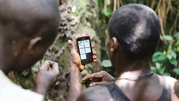


7th January 2016
INTERGEO: the global hub for Geo business

28th October 2015
INTERGEO 2015 Review - Going global. Going great!


25th August 2015
From the wisdom of the ages to challenges of the modern world

15th August 2014
Moving to the Enterprise Cloud with thinkWhere
26th June 2014
The promise of discrete global grid systems
11th June 2014
Fast food, festivals and free-range marketing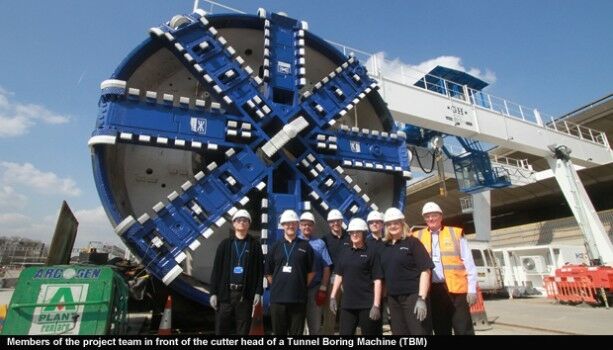
19th June 2013
Disaster Recovery: Building a sound recovery plan13th June 2013
Flood protection - how to make sure it doesn't sink your business
15th November 2012
MapMechanics’ technology underpins fire response prediction tool