
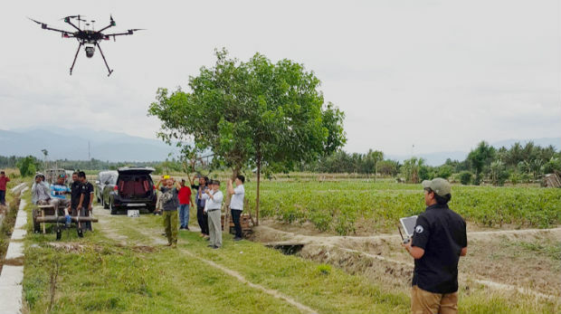
Jesse Norman MP conveyed need for high quality data for transport
15th May 2019
Jesse Norman MP conveyed need for high quality data for transportAerial imaging is revolutionizing the way we capture, analyze, and utilize geospatial data. Using high-resolution aerial photography and remote sensing technologies, it provides accurate and detailed visual information essential for mapping, environmental monitoring, infrastructure planning, and disaster response.
Modern aerial imaging solutions include manned aircraft, UAVs (drones), and satellite-based systems equipped with advanced sensors such as LiDAR, multispectral, and hyperspectral cameras. These technologies enable high-precision mapping, 3D terrain modeling, change detection, and real-time geospatial analysis, supporting industries such as urban planning, agriculture, forestry, defense, and construction.
With cloud-based processing, AI-powered image analysis, and real-time data streaming, aerial imaging continues to advance, offering faster, more accurate, and scalable solutions for GIS professionals and decision-makers.
GeoConnexion provides the latest insights on aerial imaging trends, innovations, and applications, helping professionals leverage aerial data for better spatial intelligence and operational efficiency.
15th May 2019
Jesse Norman MP conveyed need for high quality data for transport
14th May 2019
OGC seeks public comment on update to GeoTIFF standard
14th May 2019
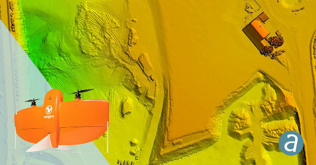
SimActive Software Enables Processing of Wingtra Drone Data
13th May 2019
Bluesky and Skyline Create Dynamic 3D City Models
10th May 2019
Unifly in top three 'hottest' European scale-ups at TNW Conference 2019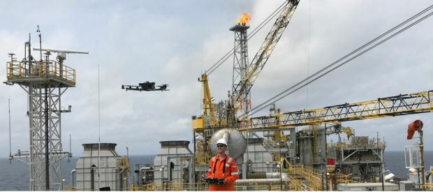
10th May 2019
Terra Drone opens Angola branch due to high demand from oil and gas industry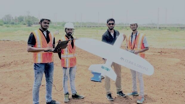
9th May 2019
Terra Drone India surveys 4,200 sq km in Maharashtra
8th May 2019
Rene Worms joins Atmos UAV as Head of Global Sales
8th May 2019
Infrastructure Inspection – UAS Are All Over It
7th May 2019
TCarta teams up with King’s College London and wins ESA Funding7th May 2019
HERE powers new serverless location-based functions7th May 2019
Firefighting drones are the future of fire safety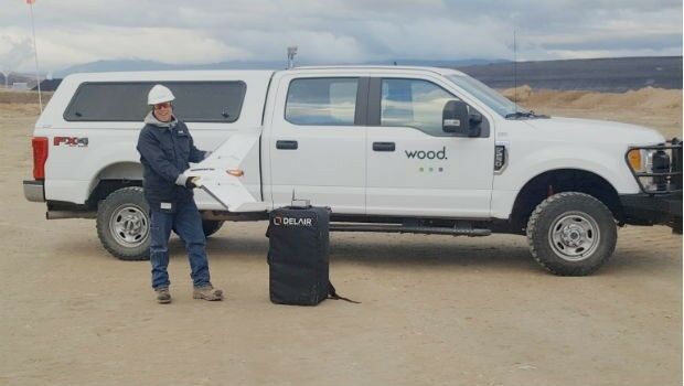
7th May 2019
Wood Adopts Delair UX11 UAV For Large Scale Surveying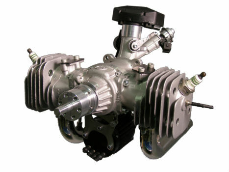
3rd May 2019
The Future is Two-Stroke: Hirth Engines Look to the Future of Hybrid UAVs
1st May 2019
ISG Transforms BIM Delivery Using Pointfuse Laser Scanning Software

1st May 2019
Bluesky Tree Map Aids Natural Flood Management Project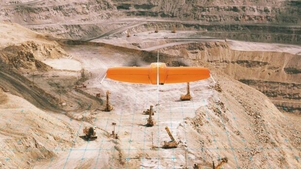
30th April 2019
Wingtra partners with 3DR to offer a complete aerial surveying solution
30th April 2019
What’s behind the ground-breaking 3D habitat map of the Great Barrier Reef?29th April 2019
Yotta Incorporates Blueprints In Latest Alloy Release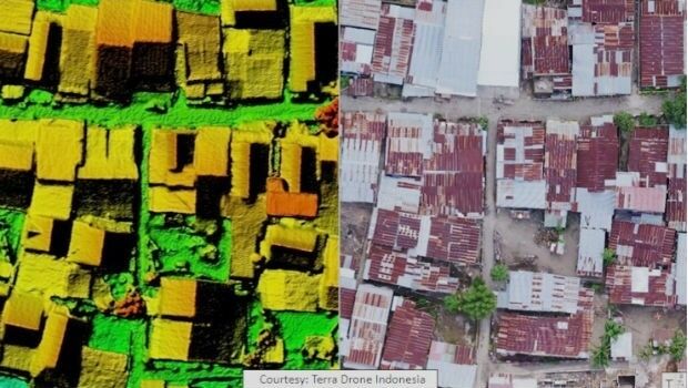
26th April 2019
Terra Drone Indonesia Performed Baseline Modeling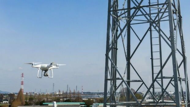
25th April 2019
Terra Drone and KDDI launch drone infrastructure inspection services
24th April 2019
Brazil’s Civil Aviation Authority Approves senseFly Drones
24th April 2019
Advanced mapping and object tracking technology to be featured at AUVSI 2019
17th April 2019
“New technology vital to the future protection of our forests”16th April 2019
Start-ups to receive funding, business support and more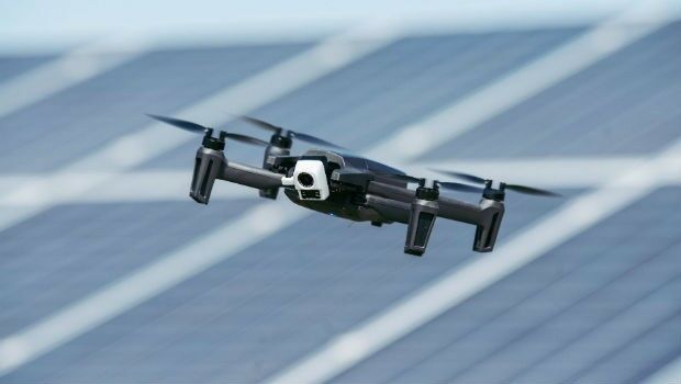
15th April 2019
Parrot launches ANAFI Thermal drone worldwide-Airbus-DS-2019-.jpg)
15th April 2019
Airbus and ZF to develop high precise end-to-end autonomous driving solution
12th April 2019
UAVOS Developed New Auto-Tracking Antenna System f
12th April 2019
SimActive Software Used with eBee X for Shoreline Mapping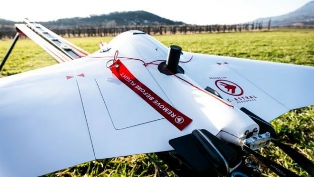
12th April 2019
Terra Drone acquires stake in Slovenia’s aerospace solutions provider C-Astral
11th April 2019
Terra Drone Indonesia teams with Japan’s leading power industry research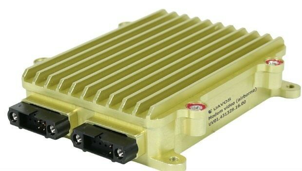
5th April 2019
UAVOS Launched Advanced Data Link for Unmanned Systems4th April 2019
HawkEye 360 Launches First Commercial Product – RFGeo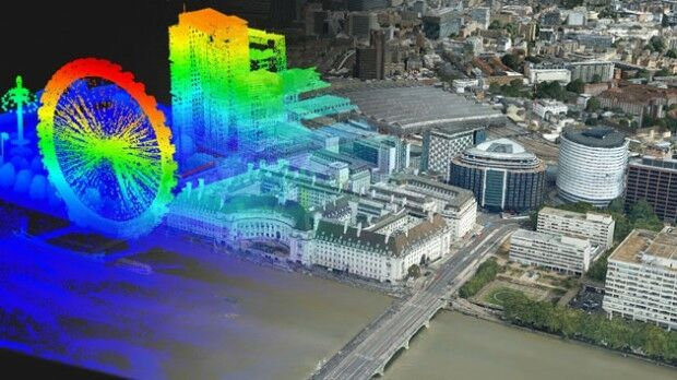
4th April 2019
Bluesky Purchases UK’s First CityMapper Camera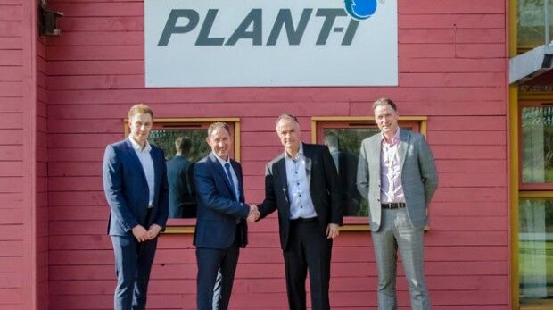
4th April 2019
Radius boosts telematics division with acquisition of Plant-i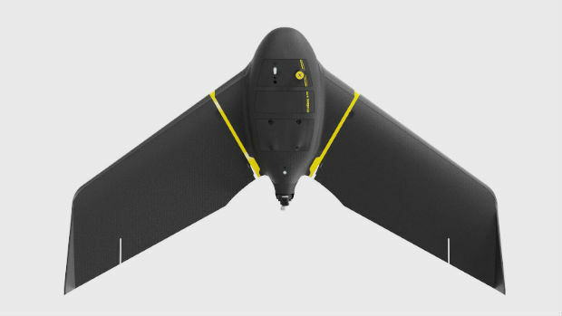
3rd April 2019
senseFly eBee as United States’ Most Popular Commercial Fixed-Wing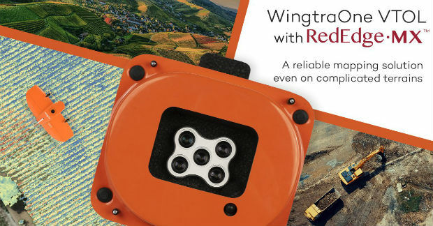
2nd April 2019
WingtraOne & RedEdge-MX: map complicated environments

1st April 2019
BARTHAUER presents infrastructure management solutions
1st April 2019
Unifly accelerates growth with Danish subsidiary: Unifly ApS