Aerial Imaging: High-Resolution Geospatial Data for Mapping, Analysis, and Decision-Making
RIEGL’s Combining Terrestrial and UAV-borne Scan Data in an Archeology Application
For data acquisition the RIEGL VZ-400i and 2000i 3D terrestrial laser sanners and the RiCOPTER, RIEGL’s remotely piloted airborne laser scanning system, as well as ground radar have been used. Terrestrial and airborne datasets have been registered together, images were automatically geo-referenced – the result is a comprehensive, highly accurate point cloud of the area providing numerous additional information and features.
Related Videos

RIEGL VZ-i Series Kinematic App: Mobilize your terrestrial laser scanner!
11th May 2025
RIEGL VZ-i Series Kinematic App: Mobilize your terrestrial laser scanner!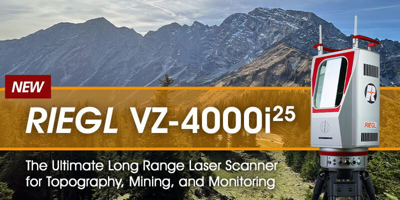
RIEGL VZ-4000i-25: The Ultimate Long Range Scanner for Topography, Mining & Monitoring
14th April 2025
RIEGL VZ-4000i-25: The Ultimate Long Range Scanner for Topography, Mining & Monitoring
RIEGL VZ-600i: High Speed Laser Scanning for Professionals
12th October 2023
RIEGL VZ-600i: High Speed Laser Scanning for Professionals