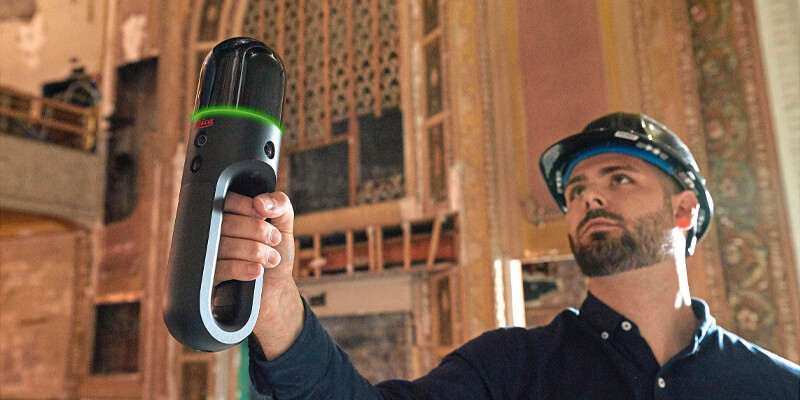
Pointfuse Limited and Leica Geosystems, a Hexagon company, announced the start of a global cooperation and development agreement that streamlines the use of reality capture in established digital construction, space management and visualisation workflows. This strategic cooperation demonstrates the shared focus of Pointfuse and Leica Geosystems to democratise technology and create intuitive and accessible reality capture tools that bring advanced project efficiencies to their users. This streamlined workflow provides the fast, simple solution to capture and convert point clouds into deliverables that drive every stage of the building construction, operations, maintenance and lifecycle management. To launch this new cooperation, Pointfuse has developed a new version of its software, called Pointfuse, powered by Jetstream, that provides users of Leica Geosystems solutions with a Scan-2-BIM workflow within the Leica Jetstream ecosystem. www.pointfuse.com


