Share
Traditional surveying methods have resulted in a roads database full of errors in Finland. Hannu Heinonen and Harald Teufelsbauer report on tests to determine whether mobile laser scanning can provide more reliable and accurate datA
Some 40,000 km of state roads in Finland are measured annually to analyse their condition for repairs and resurfacing. In general, the work is conducted using specialised measurement vehicles. In recent years, modern LiDAR technology with mobile laser scanning (MLS) systems has also been established as a new option for high-resolution road surveying.
Since 2015, laser scanning specialist Nordic Geo Center has been conducting tests with the Finnish Transport Infrastructure Authority to find out whether high-precision, inertial measurement unit (IMU)-based MLS can be used to generate road parameters of the same quality as those provided by the previously recognised methods. The last tests in the series were carried out in Sweden at the end of last year, in cooperation with the Swedish National Road and Transport Research Institute (VTI).
But what motivates an MLS provider like Nordic Geo Center to participate in such tests?
The key person in this project is Tauno Suominen, who has worked for several decades for the Finnish National Road Administration (now the Finnish Transport Infrastructure Authority). He is very familiar with pavement analysis and road survey in general and has an open eye for new solutions.
Road pavement analysis concentrates on fine details of the road surface. However, Tauno Suominen concluded that the precise geometric analysis of the road itself is also of immense importance. This is the only way to assess whether a road meets safety standards and its original purpose, as defects in this area are a major cause of accidents. However, the traditionally used measuring vehicles are not designed for this task.
Gross errors
As Figure 1 clearly shows, the Finnish national database Digiroad contains gross errors such as this sudden jump of several metres in the centre line of the road. This is where modern LiDAR technology comes into play. RIEGL’s VMX technology with high-precision IMU provides exact basic data that allows for the analysis of the width and longitudinal geometry to evaluate road irregularities and the exact positioning of road markings. However, the tests proved that the default road surface parameters – for example, roughness (IRI) and rut depths – are provided at a quality comparable to the values achieved using traditional technology.
It is notable that roughness and rut depth information are comparable to data produced typically with lasers capable of sub-millimetre accuracy. Using careful processing, the scanning technology allows us to model the surface of the road where the true shape of the ruts is far better detectable than using technology providing only detailed longitudinal laser profiles every 10cm.
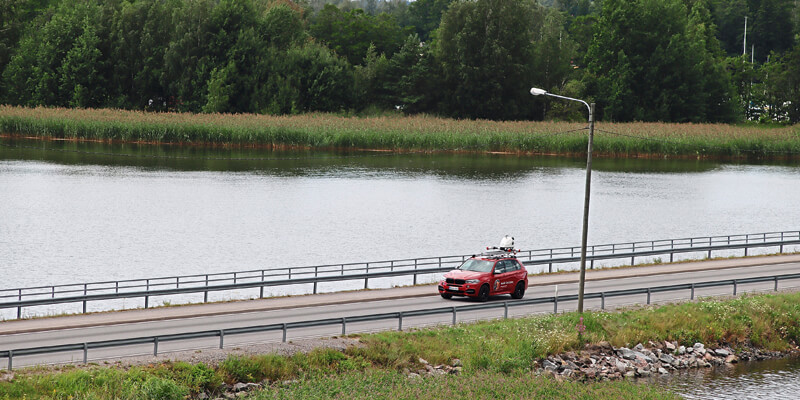
The high quality, well-integrated IMU means the results are fairly independent of the speed and position of the measurement vehicle on the road. This means the acquisition team can move at the same speed as the traffic, even up to the Finnish maximum highway speed of 120km/h.
The flexibility of operation with the flowing traffic and not being lane-bound increases the efficiency of the MLS system. Traditional measurement vehicles have to follow the centre line as closely as possible to collect consistent data. This usually involves additional work, as auxiliary lines have to be drawn first and the manoeuvrability of the measurement vehicles is also severely restricted (see Figure 3).
VTI test as a benchmark
The VTI tests for Finland consisted of two parts: the five 1.2km road sections that needed to be measured 15 times – five times at three different speeds – to check the repeatability and reproducibility of the system, and two approximately 120km road loops that were each driven twice. The required road parameters were IRI (left and right), rut depth (left, right and max), height of the ridge, crossfall, hilliness, curvature, mega texture right and position. All of these values except the texture can be processed directly from the RIEGL VMX-2HA laser scan data.
As our data had already been checked for various parameters, our main interest was to compare our data to the transverse profiles collected by the VTI reference vehicle, which uses seven Gocator 2375 profilometers to collect the profile every 10cm longitudinally and every 0.1mm laterally. The tests confirmed that the transverse profiles produced by the VMX-2HA were within the required limits.
MLS’s efficiency becomes clear when looking at the acquisition time. We scanned more than 600km of test roads in only two days. Generally speaking, test drives usually take several weeks!
The design of the VTI test sections in Sweden was unfortunately not very representative of the typical Finnish roads. Most of the test areas had good GNSS coverage, but in forest-covered Finland, this is not the case. Since more or less any MLS system can perform well in open-air test conditions, it is only when there are gaps in GNSS coverage that the true quality of a system and its operators can be evaluated.
In general, it is common practice to include high-precision control points to improve the georeferencing of MLS data under critical GNSS conditions. For the VTI tests – but also in the practical workflow of pavement analysis – this isn’t possible because there isn’t enough time. Therefore, a robust coupling of GNSS and IMU, as well as sophisticated point cloud correction methods for multiple track traverses, are even more important. This enables excellent data acquisition even in areas with poor GNSS conditions. The RIEGL MLS systems offer not only the high-tech hardware but also sophisticated, well-proven post-processing software.
Conclusion
When using modern, high-precision MLS technology such as the RIEGL VMX-2HA, the point clouds provided can deliver both traditional road parameters and additionally highly accurate georeferenced information about the entire road area including traffic signs, lampposts and ditches. Thus, with a single system, it is possible to cover the tasks of the classical methods and to generate an enormous added value for further applications.
The successfully completed tests in Finland and Sweden will certainly advance the use of MLS systems in the field of pavement analysis. However, they also clearly show the diversity and benefits of the possible applications of LiDAR technology, as well as how accurate and meaningful the resulting measurement data is.
Hannu Heinonen is technical manager at Nordic Geo Center (www.geocenter.fi) and Harald Teufelsbauer is manager, MLS Business Division, RIEGL Laser Measurement Systems (www.riegl.com)


