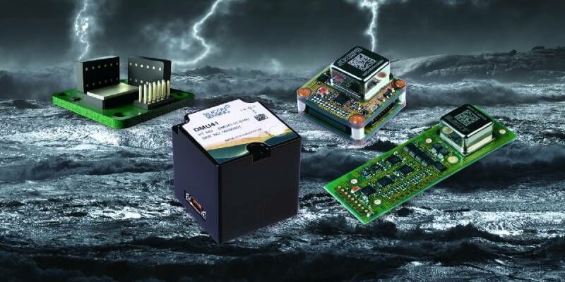
Silicon Sensing showcases marine-focused inertial products at Ocean Business
6th October 2021
Silicon Sensing showcases marine-focused inertial products at Ocean Business
6th October 2021
Silicon Sensing showcases marine-focused inertial products at Ocean Business16th September 2021
Hexagon to showcase groundbreaking autonomous solutions and smart digital realities at INTERGEO 2021 Live+Digital

17th August 2021
Tallysman Introduces the HC990EXF Extended-Filter Embedded Full-Band GNSS Helical Antenna7th July 2021
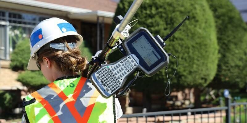
The Most Affordable, Reliable, Innovative Data Collection Software On The Planet6th July 2021
Topcon Positioning GB management systems accredited to ISO9001:2015


14th June 2021
Spectra Geospatial Introduces Next Generation of Field Solutions for Survey Professionals

22nd April 2021
Trimble and Amberg Technologies Collaborate on a Solution for Tunneling Surveyors and Construction Professionals in North and South America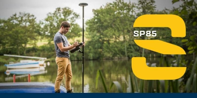
15th April 2021
Discover how the SP85 GNSS receiver is used in the field
14th April 2021
Underground Utility Mapping Workshop with Eos Locate™ for ArcGIS Field Maps14th April 2021
Trimble T100 Tablet Delivers High-Performance Computing in the Field18th March 2021
Latest webinar from Gexcel - Digital Twinning for real estate assets management3rd March 2021
Trimble Announces Rugged, Lightweight Field Data Controller for Land and Construction Surveying2nd March 2021
Trimble Launches Dimensions Spotlight Series for 20211st March 2021
Juniper Systems Limited Introduces New Mesa 3 Smart Card Reader for High-Security Industries
21st February 2021
New Sokkia total stations designed as part of full, productive workflow solution17th February 2021
New Trimble SX12 Scanning Total Station Adds Features and Applications for Versatile Everyday Surveying and Scanning12th February 2021
Juniper Systems Limited Announces Customisation Programme for Ultra-Rugged Handheld Computers9th February 2021
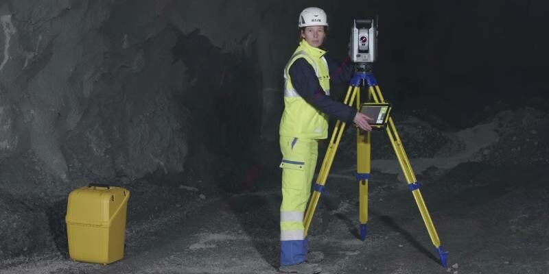
The new generation of automated total stations - Meet the "five big ones"
1st February 2021
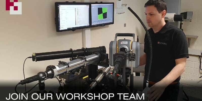
Latest Job from KOREC GROUP - Service Technician
1st February 2021
Latest Job from KOREC GROUP - Senior Applications Engin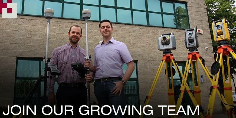
1st February 2021
Latest Job: Geospatial Sales Consultant Midlands
20th January 2021
SCCS and Senceive Announce Exciting Distribution Partnership
18th January 2021
A Pragmatic Approach to Entering the Drone LIDAR Business
18th January 2021
Real estate management during the COVID pandemic - Webinar15th January 2021
Fugro Selects RealWear Assisted Reality (AR) Headsets to Increase Operational Safety, Capacity and Efficiency
15th January 2021
Tallysman Introduces the HC843 and HC843E Lightweight Dual-Band GNSS and Passive Iridium Helical Antenna

5th January 2021
Geneq Releases SXtab RTK, a New Rugged Tablet for Field Professionals
10th December 2020
Stanford engineers combine light and sound to see underwater4th December 2020
Atmos UAV joins forces with Topcon Positioning Group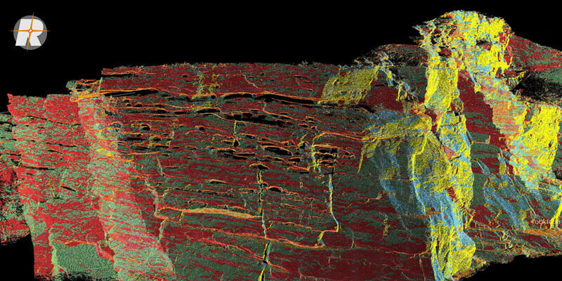
2nd December 2020
Surface Extraction and Analysis from RIEGL Laser Scan Data17th November 2020
GPR for Utility Locating Offers Safety, Efficiency, and Revenue Benefits