Proof-of-concept study shows satellites can monitor marine debris from space
21st June 2024
Proof-of-concept study shows satellites can monitor marine debris from space21st June 2024
Proof-of-concept study shows satellites can monitor marine debris from space20th June 2024
Green light for Galileo second-generation satellite design18th June 2024
To create a geospatial reality, we need geospatial skills
29th April 2024
Scientists create new atomic clock that is both ultra-precise and sturdy

23rd April 2024
Autonomous and Sensor Technology Industry to Double and Hit $55 Billion Value by 2030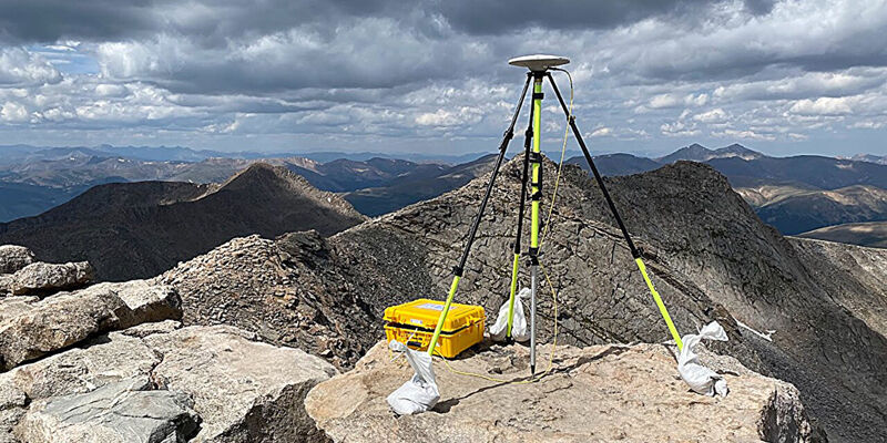
19th April 2024
Reevaluation of Colorado's iconic summits is part of a national remapping project
17th April 2024
Chennai growth maps blueprint for rural-urban areas in Global South16th April 2024
From tape measures to space lasers: Quantifying biomass of the world's tallest forests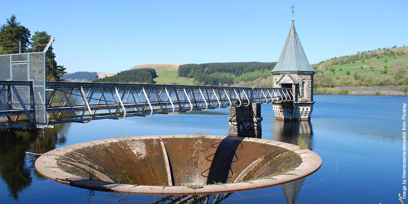
4th April 2024
New water planning tool can forecast supply and demand issues up to 205527th March 2024
Evidence-based urban planning starts with EO25th March 2024
Research reveals global wildfire risk trends in Wildland–Urban Interface areas21st March 2024
AI-powered system maps corals in 3D in record time14th March 2024
Unveiling understory saplings with advanced airborne LiDAR technology13th March 2024
Opening new doors in the VR world—literally11th March 2024
New atlas will help shape EU’s future energy needs9th March 2024
Flood risk mapping is a public good, so why the public resistance in Canada?7th March 2024
Lost tombs and quarries rediscovered on British military base in Cyprus
28th February 2024
How Apple Air Tags help the military on the move4th February 2024
Four new emperor penguin colonies found by satellite2nd February 2024
High-tech aerial mapping reveals England’s hedgerow landscape