Share
Drone mapping requires exceptional imaging technology. There’s no single model that’s right for every application, so choose with care says Yasuo Baba
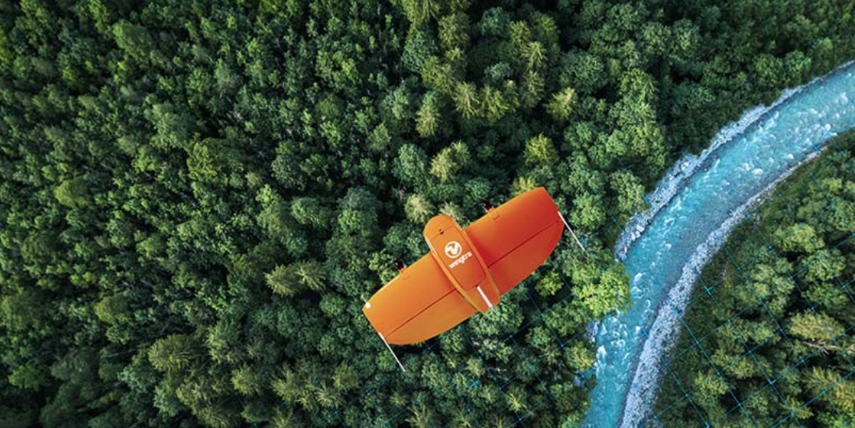
Drone mapping is a rapidly growing and evolving field. Advancements in both drone and imaging technologies mean that drones are now proving increasingly valuable for applications that include surveying, mining, construction and agriculture.
The camera itself is most important in mapping the target environment. Full-frame, high-resolution cameras, in a lightweight package so as not to compromise aerodynamics, are the ideal candidates. Furthermore, a compatible SDK will allow for fast and autonomous image processing, which is essential for those in the surveying and mapping industry looking to have an edge over competitors.
However, as requirements continue to expand and technology becomes increasingly sophisticated, there cannot be a ‘one size fits all’ to choosing the right camera for drone imaging in this arena. In this piece, we’ll look at some of the critical factors that should be considered when choosing a camera to get the right shot, first time, and with as few headaches as possible for drone operators.
Sensor size
In drone mapping, the required accuracy can be one centimetre or below. For this reason, camera resolution is one of the most essential aspects of performance to consider. However, increasing sensor size to achieve optimal results can result in a drop in image quality. It’s sometime advantageous therefore to use cameras that increase pixel density to create better resolution. The caveat to this is that increased pixel density can inhibit the camera’s ability to take low-light images, so if low-light capabilities are important, you may be better off with a larger sensor size.
Your camera choice should be made with consideration to the holistic design of the model, that ensures every component works together as well as possible.
Certain cameras can deliver excellent weight savings in sensor size and still take great images, for example the 132g Sony RX0 II, which also takes 4K video.
Required flight time
As sensor size increases, so does camera weight, which affects flight time. So the flight time requirements of your application are crucial here: if the flights you make are short, a heavier, more sophisticated camera may be the right choice. But if lengthy flight time is required, a lighter camera is the right option.
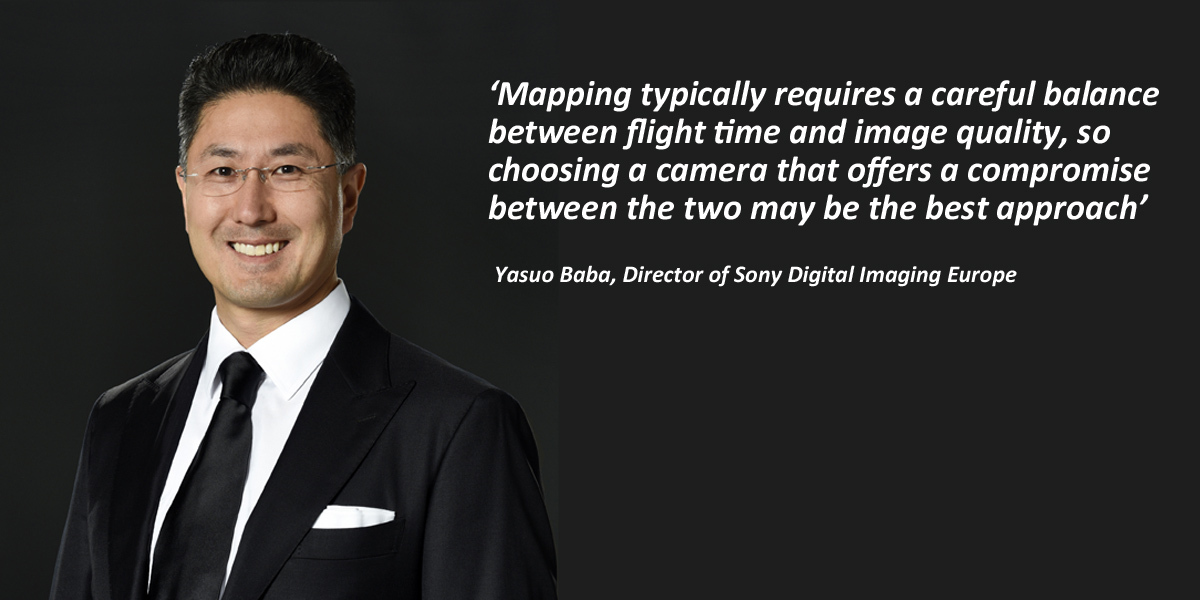
Mapping typically requires a careful balance between flight time and image quality, so choosing a camera that offers a compromise between the two may be the best approach.
Certain cameras are designed to be powered by the drone’s battery rather than their internal cell. Although these are usually lighter, they will reduce flight time anyway.
In-flight control and automation
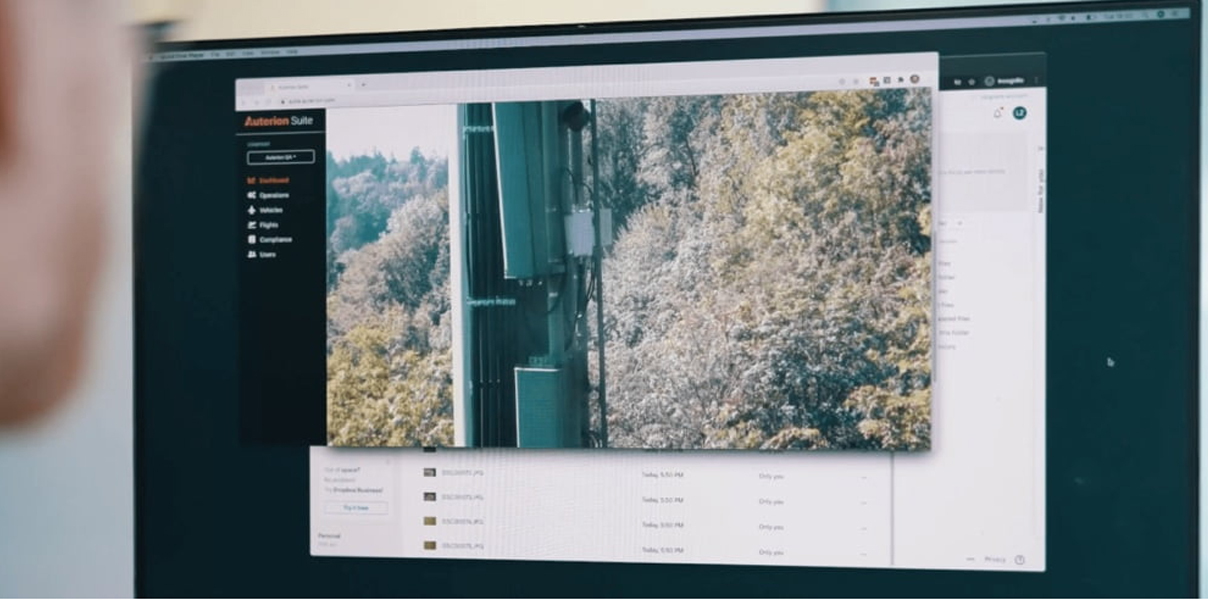
Over the past decade, several camera companies have launched kits to control specific features of the camera automatically. Sony’s Camera Remote SDK (pictured above) can control virtually every aspect of operation. In mapping, this level of automation is instrumental in being able to control location and settings to deliver the most usable imagery.
When choosing a camera, consider the functionality you need. Does it need to have preset firing timings, or external triggers such as GPS location? And do you need to develop your own application via the SDK? Or will the companion app be sufficient?
Lens portfolio
Mapping requires a wide-angle lens to capture as large an area as possible. When choosing your camera, make sure you consider the range of compatible lenses available. Sony offers a range of wide-angle lenses based around a One Mount system that are ideal for mapping, and deliver exceptional image quality.
Image processor
The image processor is the brain of the camera. It’s easy to overlook, but it’s essential to delivering great results. It’s a wise approach to choose a camera with a holistic approach, where the processor has been designed in conjunction with the other components.
Dynamic range
Drone mapping requires great imaging in all conditions. That frequently means operation with variable and imperfect lighting. In these conditions, the dynamic range of your camera is critical, to ensure that whatever the situation, you can capture excellent images.
Balancing multiple factors
As we’ve seen, there are numerous important factors to be considered in choosing the right camera for your drone mapping. Sony are a partner of choice for a number of drone manufacturers and operators, because of our range of models that suit different applications and budgets, along with a world-leading lens line-up and a highly capable and configurable SDK.
Subscribe to our newsletter
Stay updated on the latest technology, innovation product arrivals and exciting offers to your inbox.
Newsletter

